Museums · South East England
Burgess Hill
Burgess Hill ( ) is a town and civil parish in West Sussex, England, close to the border with East Sussex, on the edge of the South Downs National Park, 39 mi (63 km) south of London, 10 mi (16 km) no

Curtis Bateman — CC BY-SA 2.0 via Wikimedia Commons licence
Plan your visit
- Typical visit
- 1.5 h–3 h
- Best time of year
- Year-round
- Family-friendly
- Limited wheelchair access
About
Burgess Hill ( ) is a town and civil parish in West Sussex, England, close to the border with East Sussex, on the edge of the South Downs National Park, 39 mi (63 km) south of London, 10 mi (16 km) north of Brighton and Hove, and 29 mi (47 km) northeast of the county town, Chichester. It had an area of 3.7 sq mi (9.6 km2) and a population of 30,635 at the 2011 Census, making it the fourth most populous parish in the county (behind Crawley, Worthing and Horsham) and the most populous in the Mid Sussex District. Other nearby towns include Haywards Heath to the northeast and Lewes, the county town of East Sussex, to the southeast. Burgess Hill is just on the West Sussex side of the border dividing the two counties, although parts of the World's End district are across the county boundary in the Lewes district of East Sussex. On its northwest border lies the Bedelands Farm Nature Reserve. Burgess Hill is twinned with Schmallenberg in Germany and Abbeville in France.
Photo gallery
From the Wikipedia article
Burgess Hill ( ) is a town and civil parish in West Sussex, England, close to the border with East Sussex, on the edge of the South Downs National Park, 39 mi (63 km) south of London, 10 mi (16 km) north of Brighton and Hove, and 29 mi (47 km) northeast of the county town, Chichester. It had an area of 3.7 sq mi (9.6 km2) and a population of 30,635 at the 2011 Census, making it the fourth most populous parish in the county (behind Crawley, Worthing and Horsham) and the most populous in the Mid Sussex District. Other nearby towns include Haywards Heath to the northeast and Lewes, the county town of East Sussex, to the southeast. Burgess Hill is just on the West Sussex side of the border dividing the two counties, although parts of the World's End district are across the county boundary in the Lewes district of East Sussex. On its northwest border lies the Bedelands Farm Nature Reserve. Burgess Hill is twinned with Schmallenberg in Germany and Abbeville in France.
Excerpt from Wikipedia under CC BY-SA 4.0. See the source article linked in Sources below.
Background
History
The London to Brighton Way was built connecting London to the South coast and passing through what is now Burgess Hill, and although a Roman road, there is no evidence that the Romans settled there. Burgess Hill originated in the parishes of Clayton, Keymer, and Ditchling – all of them mentioned in the Domesday Book. The town's name comes from the Burgeys family when the name John Burgeys appeared in the tax rolls. The name of Burgeys stood for 'bourgeois', the inhabitant of a borough. By the Elizabethan period, a community had established itself there, and many buildings dating from this era still stand. The hill in the town's name is taken to mean different things to different people.…
Sourced from Wikipedia under CC BY-SA 4.0.
- Coordinates
- 50.9535, -0.1262
- County
- West Sussex
- District
- Mid Sussex
- Parish
- Burgess Hill
- Postcode
- RH15 0AD
- Parliamentary constituency
- Mid Sussex
- Official site
- www.burgesshill.gov.uk
Sources
- wikipedia: Burgess Hill (CC BY-SA 4.0)
Other places nearby
Loading nearby places…
Nearby
 📷 5
📷 5Historic churches · South East England
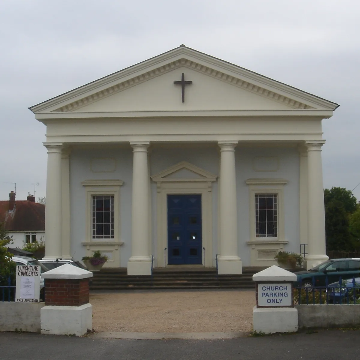
All Saints United Reformed Church
All Saints United Reformed Church — church in United Kingdom.
 📷 5
📷 5Natural landmarks · South East England
Burgess Hill Girls
Burgess Hill Girls — a school heritage in england-south-east, United Kingdom.
Cinemas · South East England
Orion Cinema
Orion Cinema — a cinema in england south east.
 📷 5
📷 5Public art & sculpture · South East England
Stone Garden
Stone Garden in England South East, United Kingdom.
 📷 5
📷 5Theatres · South East England
Burgess Hill Theatre
Burgess Hill Theatre is a theatre in the United Kingdom.
 📷 5
📷 5Historic churches · South East England
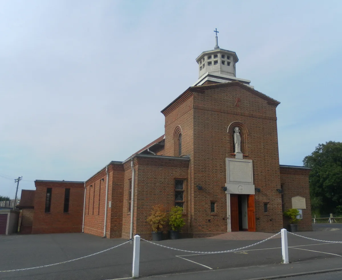
St Wilfrid's Church, Burgess Hill
St Wilfrid's Church, Burgess Hill — church in United Kingdom.
More museums in this region
 📷 5
📷 5Museums · South East England
Adjutant General's Corps Museum
Adjutant General's Corps Museum — military museum in Winchester, Hampshire, England, United Kingdom.
 📷 5
📷 5Museums · South East England
Alexander Keiller Museum
Alexander Keiller Museum — museum in South West England, United Kingdom.
 📷 5
📷 5Museums · South East England
Amberley Museum
Amberley Museum — open-air industrial museum in West Sussex, United Kingdom.
 📷 5
📷 5Museums · South East England
American Museum and Gardens
American Museum and Gardens — culture and arts museum near Bath, England, United Kingdom.
Frequently asked questions
- Where is Burgess Hill?
- Burgess Hill is in South East England, in the United Kingdom — coordinates 50.9535°, -0.1262°.
- Is Burgess Hill wheelchair accessible?
- Partially — OpenStreetMap notes limited wheelchair access at Burgess Hill. Check ahead for specific facilities.