Castles · South West England
Bude
Also known as: Porthbud
Bude (, locally /buːd/ or /bɛwd/; Cornish Standard Written Form: Porthbud) is a seaside town in north Cornwall, England, in the civil parish of Bude-Stratton and at the mouth of the River Neet (also k

Adrian King — CC BY-SA 2.0 via Wikimedia Commons licence
Plan your visit
- Typical visit
- 1.5 h–3 h
- Family-friendly
- Limited wheelchair access
About
Bude (, locally /buːd/ or /bɛwd/; Cornish Standard Written Form: Porthbud) is a seaside town in north Cornwall, England, in the civil parish of Bude-Stratton and at the mouth of the River Neet (also known locally as the River Strat). It was sometimes formerly known as Bude Haven. It lies southwest of Stratton, south of Flexbury and Poughill, and north of Widemouth Bay, located along the A3073 road off the A39. Bude is twinned with Ergué-Gabéric in Brittany, France. Bude's coast faces Bude Bay in the Celtic Sea, part of the Atlantic Ocean. At the 2021 census, the built-up area as defined by the Office of National Statistics had a population of 7,350. Its earlier importance was as a harbour, and then a source of sea sand useful for improving the inland soil. This was transported on the Bude Canal. The Victorians favoured it as a seaside resort. With new rail links, it became a popular seaside destination in the 20th century. Bradshaw's Guide of 1866, Section 2, described Bude as "a small port and picturesque village in the north-eastern extremity of Cornwall". It described the town as having the dignity of a fashionable marine resort with excellent facilities for bathers. The harbour bed consists of fine bright yellow sand consisting of small shells. "The sea view is of a striking, bold and sublime description – the rocks rising on every side to lofty broken elevations." It also describes Bude as a romantic retreat.
Photo gallery
From the Wikipedia article
Bude (, locally /buːd/ or /bɛwd/; Cornish Standard Written Form: Porthbud) is a seaside town in north Cornwall, England, in the civil parish of Bude-Stratton and at the mouth of the River Neet (also known locally as the River Strat). It was sometimes formerly known as Bude Haven. It lies southwest of Stratton, south of Flexbury and Poughill, and north of Widemouth Bay, located along the A3073 road off the A39. Bude is twinned with Ergué-Gabéric in Brittany, France. Bude's coast faces Bude Bay in the Celtic Sea, part of the Atlantic Ocean. At the 2021 census, the built-up area as defined by the Office of National Statistics had a population of 7,350. Its earlier importance was as a harbour, and then a source of sea sand useful for improving the inland soil. This was transported on the Bude Canal. The Victorians favoured it as a seaside resort. With new rail links, it became a popular seaside destination in the 20th century. Bradshaw's Guide of 1866, Section 2, described Bude as "a small port and picturesque village in the north-eastern extremity of Cornwall". It described the town as having the dignity of a fashionable marine resort with excellent facilities for bathers. The harbour bed consists of fine bright yellow sand consisting of small shells. "The sea view is of a striking, bold and sublime description – the rocks rising on every side to lofty broken elevations." It also describes Bude as a romantic retreat.
Excerpt from Wikipedia under CC BY-SA 4.0. See the source article linked in Sources below.
Background
History
Bude-Stratton is said to have been a settlement since the Bronze Age but nothing remains of it. Efford Manor, seat of the Arundell family of Trerice, was the only building here in the Middle Ages. Bude or Porthbud was known as Bede's Haven, the 'chapel' or 'hermitage' on the rock, Bede being the holy man who lived there, on what is now the breakwater. The original breakwater was destroyed in 1838 by a terrible storm, while the newer version was constructed in 1839. The spectacular sandstone coast here is a Site of Specific Scientific Interest, known for jagged reefs, implicated in many past shipwrecks. Alongside the sea and by the canal runs the river Neet (or Strat). The two halves of the…
Sourced from Wikipedia under CC BY-SA 4.0.
- Coordinates
- 50.8240, -4.5420
- District
- Cornwall
- Parish
- Bude-Stratton
- Postcode
- EX23 8TD
- Parliamentary constituency
- North Cornwall
Sources
- wikipedia: Bude (CC BY-SA 4.0)
Other places nearby
Loading nearby places…
Nearby
 📷 3
📷 3Manor houses · South West England
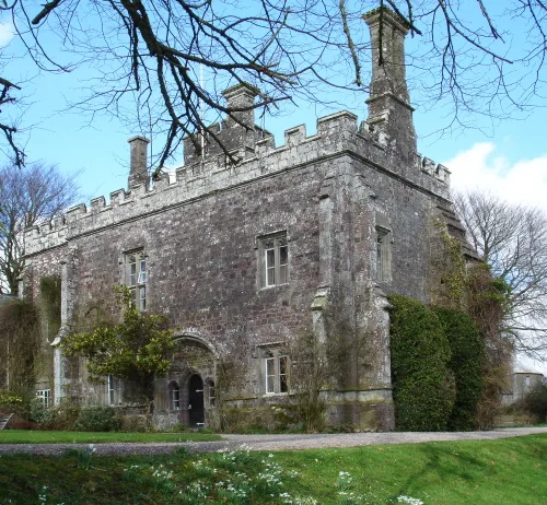
Ebbingford Manor
Ebbingford Manor — Grade II* listed building-listed manor in england-south-west, United Kingdom.
 📷 3
📷 3Memorials & monuments · South West England
Shalder Hill War Memorial
Shalder Hill War Memorial — Grade II listed building-listed memorial in england-south-west, United Kingdom.
 📷 5
📷 5Canals · South West England
Bude Canal
Bude Canal — Canal in Cornwall, England.
Campsites · South West England
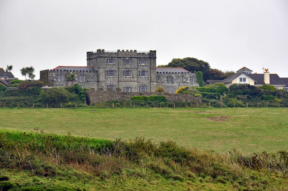
Efford Downs Campsite
Efford Downs Campsite — a campsite in england south west.
.jpg?width=1200) 📷 5
📷 5Chapels · South West England
Central Methodist Chapel
Central Methodist Chapel — chapel in Bude-Stratton, Cornwall, England, UK.
 📷 3
📷 3Historic churches · South West England
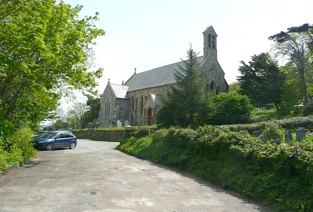
St Michael and All Angels Church, Bude
St Michael and All Angels Church, Bude — grade II listed church in Bude-Stratton, Cornwall, England, UK.
More castles in this region
 📷 5
📷 5Castles · South West England
Acton Castle
Acton Castle — Cornish historic building.
 📷 5
📷 5Castles · South West England
Affeton Castle
Affeton Castle — castle in East Worlington, Devon, England, UK.
 📷 5
📷 5Castles · South West England
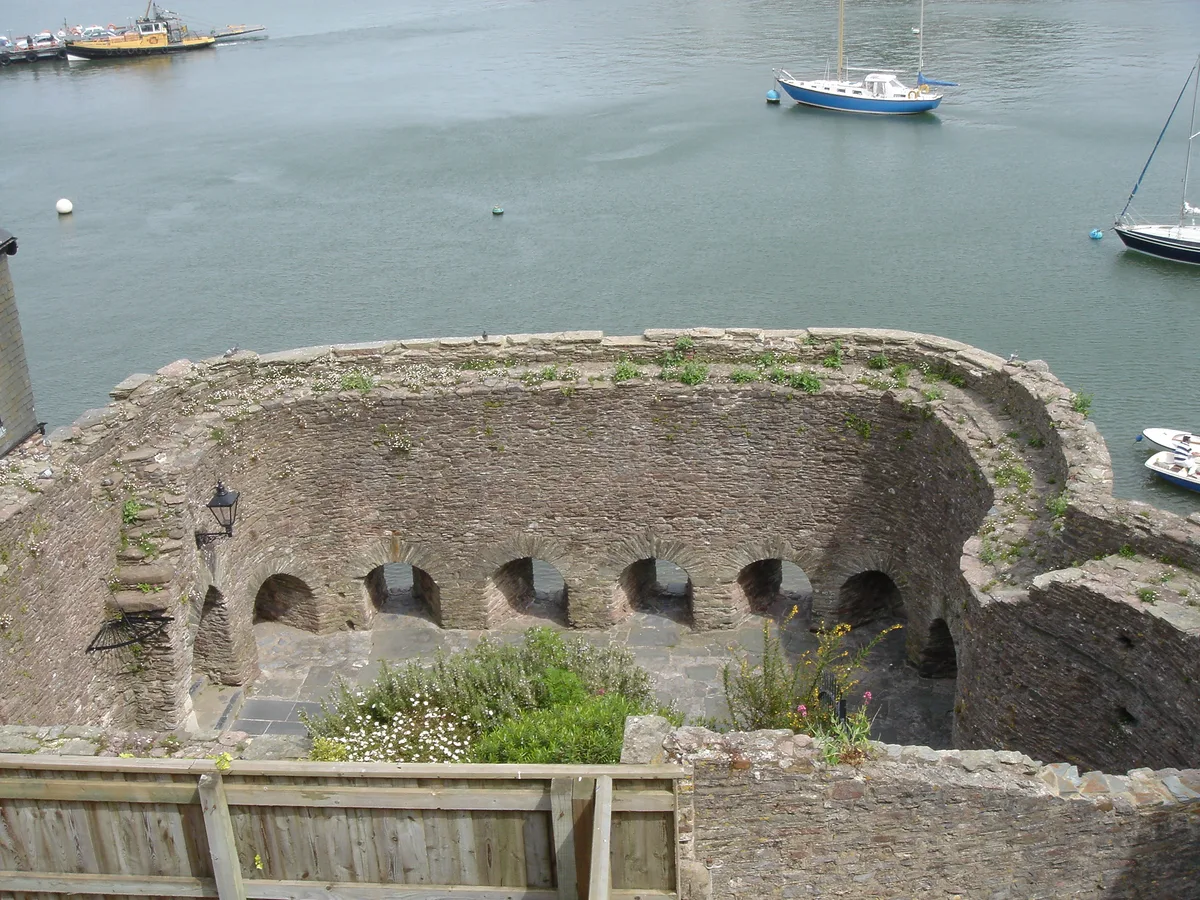
Bayard's Cove Fort
Bayard's Cove Fort — castle in Devon, England, UK.
 📷 5
📷 5Castles · South West England
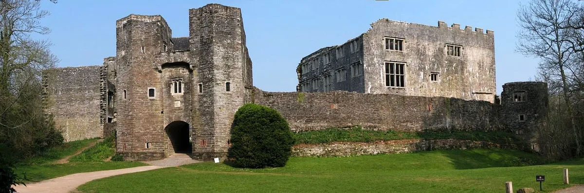
Berry Pomeroy Castle
Berry Pomeroy Castle — Grade I listed English country house in South Hams, United Kingdom.
Frequently asked questions
- Where is Bude?
- Bude is in South-West England, United Kingdom (postcode EX23 8TD), in the parish of Bude-Stratton.
- Does Bude charge admission?
- Bude typically charges admission. Check the official site for current ticket prices and opening hours.
- How do I get to Bude?
- Drivers can navigate to postcode EX23 8TD. It sits within the North Cornwall parliamentary constituency.