Museums · West Midlands
Bromsgrove District
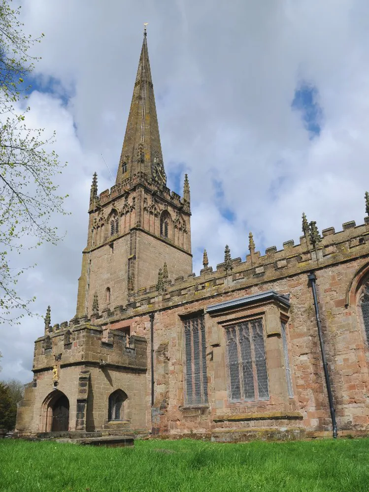
Bromsgrove is a local government district in north-east Worcestershire, England. It is named after its only town, Bromsgrove, where its council is based, but also includes several villages and surroun

peter Dodman — CC BY-SA 2.0 via Wikimedia Commons licence
Plan your visit
- Typical visit
- 1.5 h–3 h
- Best time of year
- Year-round
- Family-friendly
- Limited wheelchair access
About
Bromsgrove is a local government district in north-east Worcestershire, England. It is named after its only town, Bromsgrove, where its council is based, but also includes several villages and surrounding rural areas. It borders the built-up area of Birmingham to the north. Other places in the district include Alvechurch, Aston Fields, Belbroughton, Catshill, Clent, Hagley, Rubery, Stoke Prior and Wythall. The population at the 2021 census was 99,475. The neighbouring districts are Redditch, Wychavon, Wyre Forest, South Staffordshire, Dudley, Birmingham, Solihull and Stratford-on-Avon.
Photo gallery
From the Wikipedia article
Bromsgrove is a local government district in north-east Worcestershire, England. It is named after its only town, Bromsgrove, where its council is based, but also includes several villages and surrounding rural areas. It borders the built-up area of Birmingham to the north. Other places in the district include Alvechurch, Aston Fields, Belbroughton, Catshill, Clent, Hagley, Rubery, Stoke Prior and Wythall. The population at the 2021 census was 99,475. The neighbouring districts are Redditch, Wychavon, Wyre Forest, South Staffordshire, Dudley, Birmingham, Solihull and Stratford-on-Avon.
Excerpt from Wikipedia under CC BY-SA 4.0. See the source article linked in Sources below.
Background
History
The town of Bromsgrove had been governed by improvement commissioners from 1846, who were replaced by an elected local board in 1859, which in turn was converted into an urban district council in 1894. The modern district was formed on 1 April 1974 under the Local Government Act 1972. The new district covered the area of two former districts, which were both abolished at the same time: The new district was named Bromsgrove after its largest settlement.
Sourced from Wikipedia under CC BY-SA 4.0.
- Coordinates
- 52.3350, -2.0580
- County
- Worcestershire
- District
- Bromsgrove
- Parish
- Bromsgrove, unparished area
- Postcode
- B60 2BN
- Parliamentary constituency
- Bromsgrove
- Official site
- www.nortoncollectionmuseumtrust.org.uk
Sources
- wikipedia: Bromsgrove District (CC BY-SA 4.0)
Other places nearby
Loading nearby places…
Nearby
 📷 4
📷 4Memorials & monuments · West Midlands
A. E. Housman
A. E. Housman is a memorial in the United Kingdom.
 📷 3
📷 3Museums · West Midlands
Norton Collection Museum
Norton Collection Museum — a museum in england-west-midlands, United Kingdom.
 📷 3
📷 3Memorials & monuments · West Midlands
Gravestones of Thomas Scaife and Joseph Rutherford (d 1840)
Gravestones of Thomas Scaife and Joseph Rutherford (d 1840) — a memorial in england-west-midlands, United Kingdom.
 📷 5
📷 5Historic churches · West Midlands
Church of St John the Baptist, Bromsgrove
Church of St John the Baptist, Bromsgrove — church in Bromsgrove, Worcestershire, England, UK.
 📷 5
📷 5Cemeteries · West Midlands
Bromsgrove Cemetery
Bromsgrove Cemetery is a cemetery in the United Kingdom.
 📷 4
📷 4Theatres · West Midlands
Artrix
Artrix in England West Midlands, United Kingdom.
More museums in this region
 📷 5
📷 5Museums · West Midlands
A Real Birmingham Family
A Real Birmingham Family — Public artwork (sculpture) by Gillian Wearing.
 📷 3
📷 3Museums · West Midlands
Abington Abbey
Abington Abbey — stately home, now museum, in Abington Park, Northampton, England, UK.
.jpg?width=1200) 📷 5
📷 5Museums · West Midlands
Aspire
Aspire — Public artwork (sculpture) by Anuradha Patel.
 📷 3
📷 3Museums · West Midlands
Aston Martin Heritage Trust Museum
Aston Martin Heritage Trust Museum — Automobile museum in Drayton St Leonard, England.
Frequently asked questions
- Where is Bromsgrove District?
- Bromsgrove District is in Worcestershire, the West Midlands, United Kingdom (postcode B60 2BN), in the parish of Bromsgrove, unparished area.
- Who owns Bromsgrove District?
- Bromsgrove District is owned by Bromsgrove District Council.
- How do I get to Bromsgrove District?
- Drivers can navigate to postcode B60 2BN. It sits within the Bromsgrove parliamentary constituency.