Historic churches · West Midlands
Brinnington
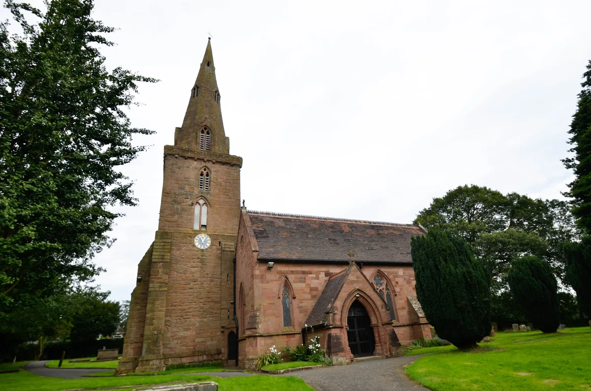
Brinnington is a north-eastern suburb of Stockport, in Greater Manchester, England. It lies on a bluff above a bend in the Tame Valley, between the M60 motorway and Reddish Vale Country Park.

John Topping — CC BY-SA 2.0 via Wikimedia Commons licence
Plan your visit
- Typical visit
- 30 min–1 h
- Free entry
About
Brinnington is a north-eastern suburb of Stockport, in Greater Manchester, England. It lies on a bluff above a bend in the Tame Valley, between the M60 motorway and Reddish Vale Country Park.
Photo gallery
From the Wikipedia article
Brinnington is a north-eastern suburb of Stockport, in Greater Manchester, England. It lies on a bluff above a bend in the Tame Valley, between the M60 motorway and Reddish Vale Country Park.
Excerpt from Wikipedia under CC BY-SA 4.0. See the source article linked in Sources below.
Background
History
Brinnington is not named in the Domesday survey of 1086; it is believed to have been in the manor of Bredbury and probably became a barony of Stockport in the twelfth century. From mid-14th century, the lords of the land were the Duckenfield family. Under the Duckenfields, the southern third of the township was held as a demesne named Portwood. By the 1540s, the family had a residence (Portwood Hall), a deer park and a corn mill. The northern part of the township was common moorland known as Brinnington Moor. The area remained largely rural up until the 1950s. In 1754, only 15 families (104 individuals) were recorded. The population grew significantly throughout the 19th century, due to the…
Description
Brinnington was open farmland before the local authority housing developments of the 1950s and 1960s. To the west of Brinnington is Reddish Vale, a country park popular with families for walking, and exploring the ponds and brick viaducts; under the arches there is a sharp bend in the river and sand has been deposited giving the effect of a miniature beach. The area consists mainly of council-owned dwellings including high rise flats. Brinnington has high crime levels and long-term unemployment at 20%. Two streets, Northumberland Road and Brinnington Road, were named by police as two of the three worst roads in north Stockport in 2010. The area has undergone regeneration, including the…
Sourced from Wikipedia under CC BY-SA 4.0.
- Coordinates
- 53.4350, -2.1350
- District
- Stockport
- Parish
- Stockport, unparished area
- Postcode
- SK5 8LW
- Parliamentary constituency
- Stockport
Sources
- wikipedia: Brinnington (CC BY-SA 4.0)
Other places nearby
Loading nearby places…
Nearby
 📷 3
📷 3Historic bridges · West Midlands
Reddish Viaduct
Reddish Viaduct is a historic bridge in the United Kingdom.
 📷 4
📷 4Gardens · West Midlands
Houldsworth Working Men's Club
Houldsworth Working Men's Club — a garden in england-west-midlands, United Kingdom.
 📷 3
📷 3Theatres · North West England
Essoldo Reddish
Essoldo Reddish in England North West, United Kingdom.
 📷 3
📷 3Memorials & monuments · West Midlands
South Reddish War Memorial
South Reddish War Memorial — Grade II listed building-listed memorial in england-west-midlands, United Kingdom.
 📷 5
📷 5Castles · West Midlands
Reddish
Reddish — a castle in england-west-midlands, United Kingdom.
 📷 5
📷 5Historic churches · West Midlands
St. Elisabeth's Church
St. Elisabeth's Church — church in Reddish, Greater Manchester, England, UK.
More places in this region
 📷 3
📷 3Historic churches · West Midlands
All Saints Chapel, Somerford
All Saints Chapel, Somerford — church in Cheshire East, Cheshire, England, UK.
 📷 4
📷 4Historic churches · West Midlands
All Saints Church
All Saints Church — church building in Oxford, UK.
 📷 3
📷 3Historic churches · West Midlands
All Saints Church, Aldwincle
All Saints Church, Aldwincle — church in Aldwincle, Northamptonshire, UK.
 📷 3
📷 3Historic churches · West Midlands
All Saints Church, Allesley
All Saints Church, Allesley — Grade I listed church in Coventry, West Midlands, England, UK.
Frequently asked questions
- Where is Brinnington?
- Brinnington is in the West Midlands, United Kingdom (postcode SK5 8LW), in the parish of Stockport, unparished area.
- Is Brinnington free to visit?
- Yes, Brinnington is free to enter.
- How do I get to Brinnington?
- Drivers can navigate to postcode SK5 8LW. It sits within the Stockport parliamentary constituency.