Historic bridges · West Midlands
Bridge Circa 90 Metres East Of Lower Farmhouse
Bridge Circa 90 Metres East Of Lower Farmhouse — Grade II listed building-listed bridge in england-west-midlands, United Kingdom.

Stuart Logan — CC BY-SA 2.0 via Wikimedia Commons licence
Plan your visit
- Typical visit
- 15 min–30 min
- Free entry
- Dog-friendly
About
Bridge Circa 90 Metres East Of Lower Farmhouse is a Grade II listed building-listed bridge in england-west-midlands, United Kingdom, registered on the National Heritage List for England (NHLE entry 1340900). Listed status protects buildings and structures of special architectural or historic interest. See the linked Wikipedia article for further details.
Photo gallery
Heritage listing
Details COLN ST DENNIS COLN ROGERS SP 0809 15/142 Bridge c90m east of Lower Farmhouse II Bridge over River Coln. Late C18-early C19. Limestone rubble. Two round-headed arches. Sloping coping terminating at pyramidal capping stones on the north side and at dressed stone piers, also with pyramidal capping stones, on the south side. Listing NGR: SP0860309315 Legacy The contents of this record have been generated from a legacy data system. Legacy System number: 131166 Legacy System: LBS
From the Historic England List Entry under OGL v3.
Place summary
Bridge Circa 90 Metres East Of Lower Farmhouse is a Grade II listed bridge located in Coln St. Dennis, Gloucestershire, in the West Midlands. Its designation reflects its historical and architectural significance within the area.
AI-generated from the structured facts on this page (operator, designation, listing, era). Not a substitute for visiting.
- Coordinates
- 51.7824, -1.8767
- County
- Gloucestershire
- District
- Cotswold
- Parish
- Coln St. Dennis
- Postcode
- GL54 3LA
- Parliamentary constituency
- North Cotswolds
Sources
- wikidata: Q26625039 (CC0)
Other places nearby
Loading nearby places…
Nearby
 📷 5
📷 5Historic churches · West Midlands
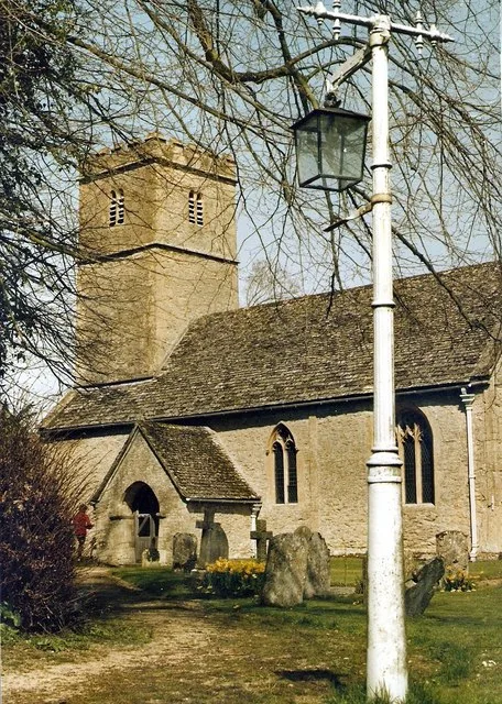
Church of St Andrew
Church of St Andrew — church in Coln Rogers, Gloucestershire, England, UK.
 Flagship📷 3
Stately homes · West Midlands
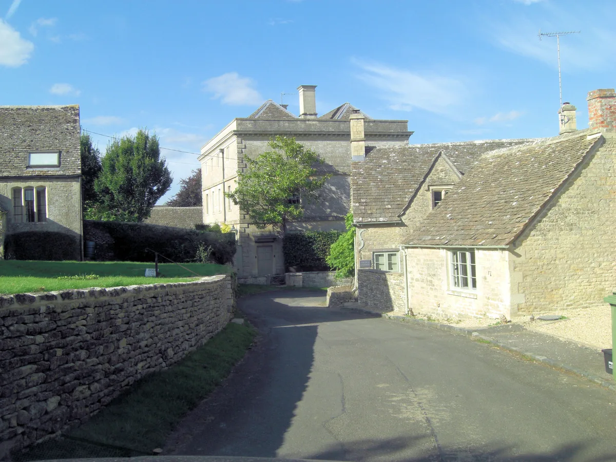
Winson Manor
Winson Manor — manor house in Winson, Gloucestershire, England, UK.
 📷 3
📷 3Memorials & monuments · West Midlands
Group Of 9 Mainly Howse And Bridges Family Monuments In The Churchyard Approximately 6 Metres South Of Porch To Church Of St Mic
Group Of 9 Mainly Howse And Bridges Family Monuments In The Churchyard Approximately 6 Metres South Of Porch To Church Of St Mic — Grade II* listed building-listed memorial in england-west-midlands, U
 📷 5
📷 5Historic churches · West Midlands
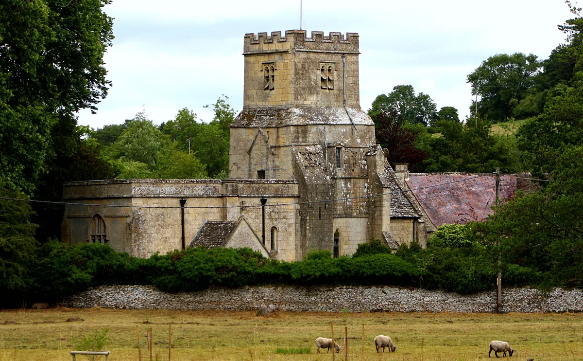
Church of St James
Church of St James — Grade I listed church in Coln St. Dennis, Gloucestershire, England, UK.
 📷 3
📷 3Memorials & monuments · West Midlands
Jeremiah Jenkins Monument In The Churchyard Of The Church Of St James, Circa 1 Metre North Of The Church Tower
Jeremiah Jenkins Monument In The Churchyard Of The Church Of St James, Circa 1 Metre North Of The Church Tower — Grade II listed building-listed memorial in england-west-midlands, United Kingdom.
📷 3Historic bridges · West Midlands
Bridge Over The River Coln
Bridge Over The River Coln — Grade II listed building-listed bridge in england-west-midlands, United Kingdom.
More bridges in this region
.jpg?width=1200) 📷 4
📷 4Historic bridges · West Midlands
Abbey Park Road
Abbey Park Road is a historic bridge in the United Kingdom.
 📷 3
📷 3Historic bridges · West Midlands
Albert Bridge
Albert Bridge is a historic bridge in the United Kingdom.
 📷 3
📷 3Historic bridges · West Midlands
Anchor Bridge
Anchor Bridge is a historic bridge in the United Kingdom.
.JPG?width=1200) 📷 5
📷 5Historic bridges · West Midlands
Appleford Railway Bridge
Appleford Railway Bridge is a historic bridge in the United Kingdom.
Frequently asked questions
- Where is Bridge Circa 90 Metres East Of Lower Farmhouse?
- Bridge Circa 90 Metres East Of Lower Farmhouse is in Gloucestershire, the West Midlands, United Kingdom (postcode GL54 3LA), in the parish of Coln St. Dennis.
- Is Bridge Circa 90 Metres East Of Lower Farmhouse a listed building?
- Bridge Circa 90 Metres East Of Lower Farmhouse is officially recognised as Grade II listed building listed.
- Is Bridge Circa 90 Metres East Of Lower Farmhouse free to visit?
- Yes, Bridge Circa 90 Metres East Of Lower Farmhouse is free to enter.
- How do I get to Bridge Circa 90 Metres East Of Lower Farmhouse?
- Drivers can navigate to postcode GL54 3LA. It sits within the North Cotswolds parliamentary constituency.