Historic bridges · West Midlands
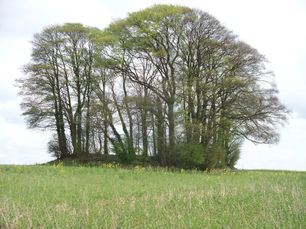
Bridge Approximately 20 Metres South West Of Lower Harford Farmhouse
Bridge Approximately 20 Metres South West Of Lower Harford Farmhouse — Grade II listed building-listed bridge in england-west-midlands, United Kingdom.

norman hyett — CC BY-SA 2.0 via Wikimedia Commons licence
Plan your visit
- Typical visit
- 15 min–30 min
- Free entry
- Dog-friendly
About
Bridge Approximately 20 Metres South West Of Lower Harford Farmhouse is a Grade II listed building-listed bridge in england-west-midlands, United Kingdom, registered on the National Heritage List for England (NHLE entry 1238092). Listed status protects buildings and structures of special architectural or historic interest. See the linked Wikipedia article for further details.
Photo gallery
Heritage listing
Details NAUNTON SP 12 SW 5/10000 Bridge approx 20mSW of Lower Harford Farmhouse GV II Clapper bridge. C18 or earlier. Built of limestone, with 2 courses of squared blocks laid over stone piers with some late C19 brick replacement. A rare survival for this region of a clapper bridge, of a type more commonly found in upland regions. Listing NGR: SP1297522619 Legacy The contents of this record have been generated from a legacy data system. Legacy System number: 415444 Legacy System: LBS
From the Historic England List Entry under OGL v3.
Place summary
The Bridge Approximately 20 Metres South West Of Lower Harford Farmhouse is a Grade II listed bridge located in the parish of Naunton, Gloucestershire, within the West Midlands region. This structure represents an example of historical engineering, contributing to the area's architectural heritage.
AI-generated from the structured facts on this page (operator, designation, listing, era). Not a substitute for visiting.
- Coordinates
- 51.9019, -1.8128
- County
- Gloucestershire
- District
- Cotswold
- Parish
- Naunton
- Postcode
- GL54 3AG
- Parliamentary constituency
- North Cotswolds
Sources
- wikidata: Q26531175 (CC0)
Other places nearby
Loading nearby places…
Nearby
 📷 3
📷 3Historic bridges · West Midlands
Bridge Over River Windrush
Bridge Over River Windrush — Grade II listed building-listed bridge in england-west-midlands, United Kingdom.
Campsites · West Midlands
Folly Farm Camping
Folly Farm Camping — a campsite in england west midlands.
 📷 3
📷 3Archaeological sites · West Midlands
Cold Aston long barrow 200yds (180m) E of Camp Farm
Cold Aston long barrow 200yds (180m) E of Camp Farm — archaeological site in Cold Aston, Cotswold, England, UK.
 📷 5
📷 5Castles · West Midlands
Upper Slaughter
Upper Slaughter — a castle in england-west-midlands, United Kingdom.
 📷 3
📷 3Historic bridges · West Midlands
Bridge At Village Ford
Bridge At Village Ford — Grade II listed building-listed bridge in england-west-midlands, United Kingdom.
Hotels · West Midlands
Lords of the Manor
Lords of the Manor — a hotel in england west midlands.
More bridges in this region
.jpg?width=1200) 📷 4
📷 4Historic bridges · West Midlands
Abbey Park Road
Abbey Park Road is a historic bridge in the United Kingdom.
 📷 3
📷 3Historic bridges · West Midlands
Albert Bridge
Albert Bridge is a historic bridge in the United Kingdom.
 📷 3
📷 3Historic bridges · West Midlands
Anchor Bridge
Anchor Bridge is a historic bridge in the United Kingdom.
.JPG?width=1200) 📷 5
📷 5Historic bridges · West Midlands
Appleford Railway Bridge
Appleford Railway Bridge is a historic bridge in the United Kingdom.
Frequently asked questions
- Where is Bridge Approximately 20 Metres South West Of Lower Harford Farmhouse?
- Bridge Approximately 20 Metres South West Of Lower Harford Farmhouse is in Gloucestershire, the West Midlands, United Kingdom (postcode GL54 3AG), in the parish of Naunton.
- Is Bridge Approximately 20 Metres South West Of Lower Harford Farmhouse a listed building?
- Bridge Approximately 20 Metres South West Of Lower Harford Farmhouse is officially recognised as Grade II listed building listed.
- Is Bridge Approximately 20 Metres South West Of Lower Harford Farmhouse free to visit?
- Yes, Bridge Approximately 20 Metres South West Of Lower Harford Farmhouse is free to enter.
- How do I get to Bridge Approximately 20 Metres South West Of Lower Harford Farmhouse?
- Drivers can navigate to postcode GL54 3AG. It sits within the North Cotswolds parliamentary constituency.