Cemeteries · East Midlands
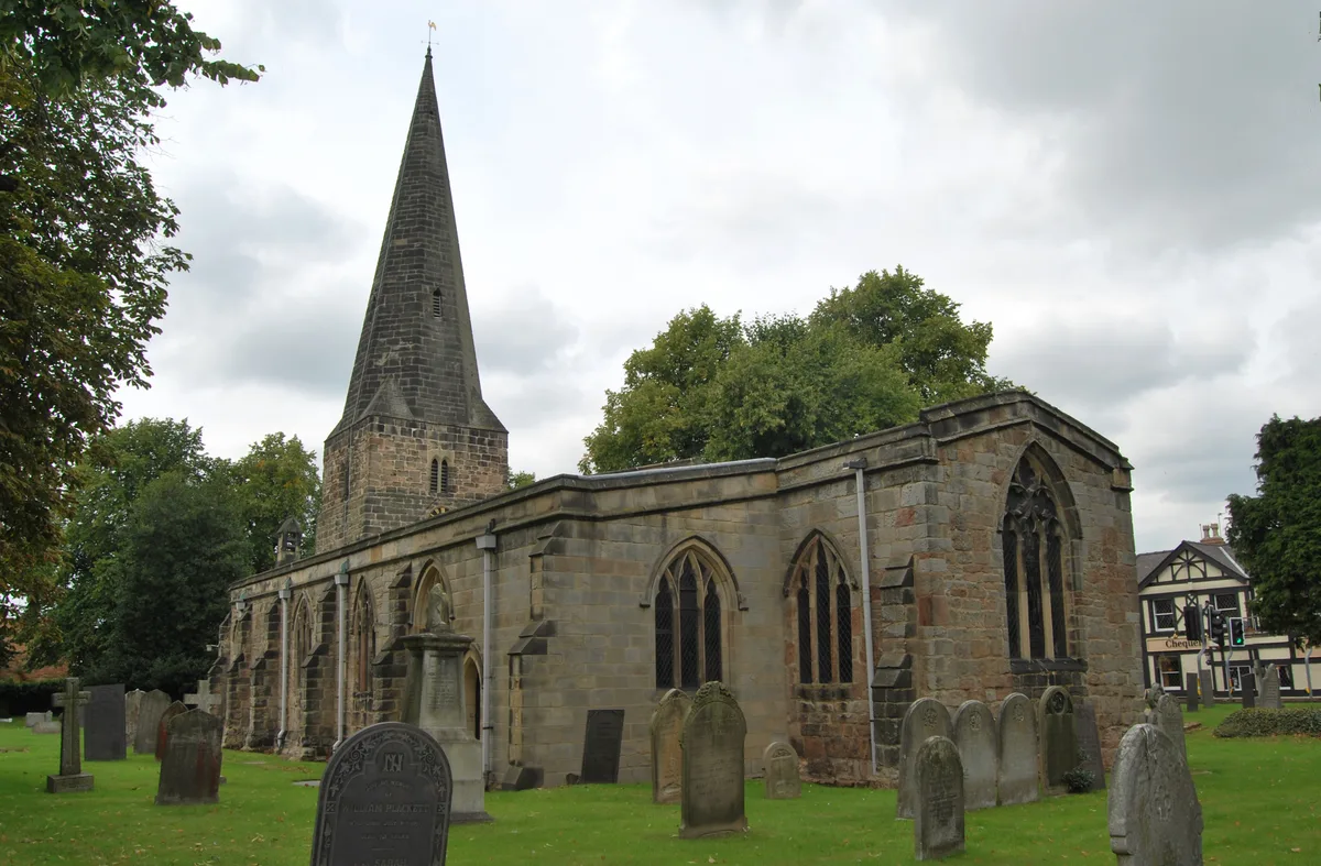
Breaston Cemetery
Breaston Cemetery is a cemetery in the United Kingdom.

Alan Murray-Rust — CC BY-SA 2.0 via Wikimedia Commons licence
Plan your visit
- Typical visit
- 30 min–1 h
- Nearest railway station
- Long Eaton · 2.5 km
- Free entry
- Dog-friendly
About
Breaston Cemetery is a named cemetery in the United Kingdom. Coordinates: 52.9041°, -1.3056°. This entry is part of The Great Britain Guide, a free, ad-free, open-data tourist directory.
Photo gallery
From the Wikipedia article
Breaston ( BREE-stən) is a large village and civil parish in the Erewash district, in the south-east of Derbyshire and lies approximately 6.81 miles (10.96 km) east of the city of Derby and 8 miles (13 km) west of the city of Nottingham. The population of the civil parish as taken at the 2011 Census was 4,455. The settlement name Breaston means 'Braegd's farm/settlement': (Old English) for a personal name and 'tūn' (Old English) for either an enclosure, farmstead, village, etc.
Excerpt from Wikipedia under CC BY-SA 4.0. See the source article linked in Sources below.
Background
History
Mentioned in the Domesday Book Survey of 1086, Breaston was a settlement in the Hundred of Morleystone wapentake and the county of Derbyshire. It had an estimated population of 15.8 households in 1086. At the time it was mentioned as belonging to Henry de Ferrers (Henry was given a large number of manors in Derbyshire including land in Swarkestone, Markeaton, Sinfin and Cowley) and being worth four shillings. The village Church of St Michael is a Grade I listed building. Structural parts of the interior, for example "double-chamfered pointed arches on octagonal piers" appear to be of 11th century in origin. The village of Breaston is clearly visible on the 1648 map of Derbyshire, produced…
Sourced from Wikipedia under CC BY-SA 4.0.
- Coordinates
- 52.9041, -1.3056
- County
- Derbyshire
- District
- Erewash
- Parish
- Breaston
- Postcode
- DE72 3BE
- Parliamentary constituency
- Erewash
- Nearest railway station
- Long Eaton — 2.5 km
- Official site
- breastonparish.co.uk
Sources
Other places nearby
Loading nearby places…
Nearby
📷 3Cemeteries · East Midlands
Longmoor Cemetery
Longmoor Cemetery is a cemetery in the United Kingdom.
 📷 3
📷 3Farms (open to visitors) · East Midlands
Lane's Garden Centre and Open Farm
Lane's Garden Centre and Open Farm — a other in england-east-midlands, United Kingdom.
 📷 3
📷 3Forests & woodlands · East Midlands
Golden Brook Storage Lagoon
Golden Brook Storage Lagoon is a forest or woodland in the United Kingdom.
 📷 3
📷 3Historic churches · East Midlands
Church of St Michael
Church of St Michael — Grade I listed church in Breaston, United Kingdom.
 📷 3
📷 3Historic bridges · East Midlands
Balustrades, gateway and bridge on terrace to south east of Risley Hall
Balustrades, gateway and bridge on terrace to south east of Risley Hall — Grade II* listed building-listed bridge in england-east-midlands, United Kingdom.
 📷 3
📷 3Memorials & monuments · East Midlands
The Great War
The Great War — a memorial in england-east-midlands, United Kingdom.
More cemeteries in this region
 📷 3
📷 3Cemeteries · East Midlands
Abbey Lane Cemetery
Abbey Lane Cemetery is a cemetery in the United Kingdom.
 📷 4
📷 4Cemeteries · East Midlands
All Saints Parish Church
All Saints Parish Church is a cemetery in the United Kingdom.
 📷 3
📷 3Cemeteries · East Midlands
Attercliffe Cemetery
Attercliffe Cemetery is a cemetery in the United Kingdom.
 📷 3
📷 3Cemeteries · East Midlands
Basford Cemetery
Basford Cemetery is a cemetery in the United Kingdom.
Frequently asked questions
- Where is Breaston Cemetery?
- Breaston Cemetery is in East Midlands, in the United Kingdom — coordinates 52.9041°, -1.3056°. The nearest railway station is Long Eaton, around 2.5 km away.
- Is Breaston Cemetery free to visit?
- Yes — admission to Breaston Cemetery is free.