Towns & cities · Scottish Lowlands
Brampton
Brampton — village near Appleby-in-Westmorland, Cumbria, England, UK.

Wikimedia Commons contributors — see linked file page for photographer and licence licence
Plan your visit
- Typical visit
- 3 h–6 h
- Nearest railway station
- Appleby · 2.9 km
- Free entry
- Family-friendly
- Dog-friendly
About
Brampton is a town, city, village or settlement in the United Kingdom. Address: CA16. Wikidata describes it as: "village near Appleby-in-Westmorland, Cumbria, England, UK". Coordinates: 54.6050°, -2.5033°.
Photo gallery
Protected designations
- Site of Special Scientific Interest: River Eden and Tributaries SSSI
- Area of Outstanding Natural Beauty: North Pennines
Designations sourced from Natural England open data under OGL v3.
From the Wikipedia article
Brampton is a village in the Westmorland and Furness district, in the county of Cumbria, England. Before 1974 it was in the county of Westmorland; the nearest town is Appleby-in-Westmorland.
Excerpt from Wikipedia under CC BY-SA 4.0. See the source article linked in Sources below.
Background
History
Brampton is spelt in Christopher Saxton’s 1579 map of Westmorland and Cumberland as 'Branton'. The same name is mentioned again in Schenk and Valck’s 1670 map. In John Cary’s map of 1794 'Bramton' is marked, however the first cartographic mention of the village's current name comes from an 1831 map of the area. Brampton Hall and barn is a Grade II listed building in the village dating from the 17th century. There are a number of other historic buildings and houses in the area including the New Inn, a public house dating from 1730, Town-end farmhouse (which was built in 1736), Midtown Farm from 1740, and most notably the nearby Brampton water mill and stables, which were most likely…
Sourced from Wikipedia under CC BY-SA 4.0.
- Coordinates
- 54.6050, -2.5033
- District
- Westmorland and Furness
- Parish
- Long Marton
- Postcode
- CA16
- Parliamentary constituency
- Westmorland and Lonsdale
- Nearest railway station
- Appleby — 2.9 km
Sources
- wikidata: Q611732 (CC0)
- wikipedia: Brampton, Westmorland and Furness (CC BY-SA 4.0)
- commons: Brampton - geograph.org.uk - 17851.jpg (CC BY-SA 4.0)
Other places nearby
Loading nearby places…
Nearby
 📷 3
📷 3Watermills · Scottish Lowlands
Brampton Watermill
Brampton Watermill — Grade II listed building-listed watermill in scotland-lowlands, United Kingdom.
 📷 3
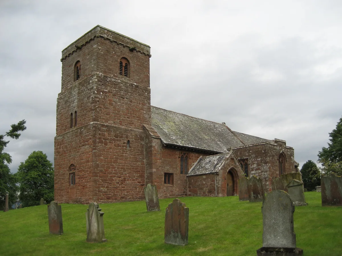
📷 3Historic churches · Scottish Lowlands
St Margaret and St James' Church, Long Marton
St Margaret and St James' Church, Long Marton is a historic church in the United Kingdom.
 📷 4
📷 4Memorials & monuments · North East England
Brampton Tower
Brampton Tower — Grade II listed building-listed memorial in england-north-east, United Kingdom.
 📷 3
📷 3Chapels · Scottish Lowlands
Methodist Chapel
Methodist Chapel — chapel in Long Marton, Westmorland and Furness, Cumbria, England, UK.
 📷 4
📷 4Towns & cities · Scottish Lowlands
Long Marton
Long Marton — village and civil parish in Cumbria, England, UK.
 📷 4
📷 4Heritage railway stations · North East England
Long Marton railway station
Long Marton railway station in England North East, United Kingdom.
More towns in this region
 Flagship📷 3
Towns & cities · Scottish Lowlands
Carlisle
Carlisle — city in Cumberland, Cumbria, England.
 Flagship📷 3
Towns & cities · Scottish Lowlands
Durham
Durham — city and the county town of County Durham in North East England.
 Flagship📷 5
Towns & cities · Scottish Lowlands
Newcastle upon Tyne
Newcastle upon Tyne — city in Tyne and Wear, England, UK.
 Flagship📷 3
Towns & cities · Scottish Lowlands
Sunderland
Sunderland — city in Tyne and Wear, North East England.
Frequently asked questions
- Where is Brampton?
- Brampton is in the Scottish Lowlands, United Kingdom (postcode CA16), in the parish of Long Marton.
- Is Brampton a protected site?
- Yes — Brampton is part of the River Eden and Tributaries SSSI Site of Special Scientific Interest and the North Pennines National Landscape (AONB).
- Is Brampton free to visit?
- Yes, Brampton is free to enter.
- How do I get to Brampton?
- The nearest railway station is Appleby, about 2.9 km away. Drivers can navigate to postcode CA16.