Mountains & hills · North West England
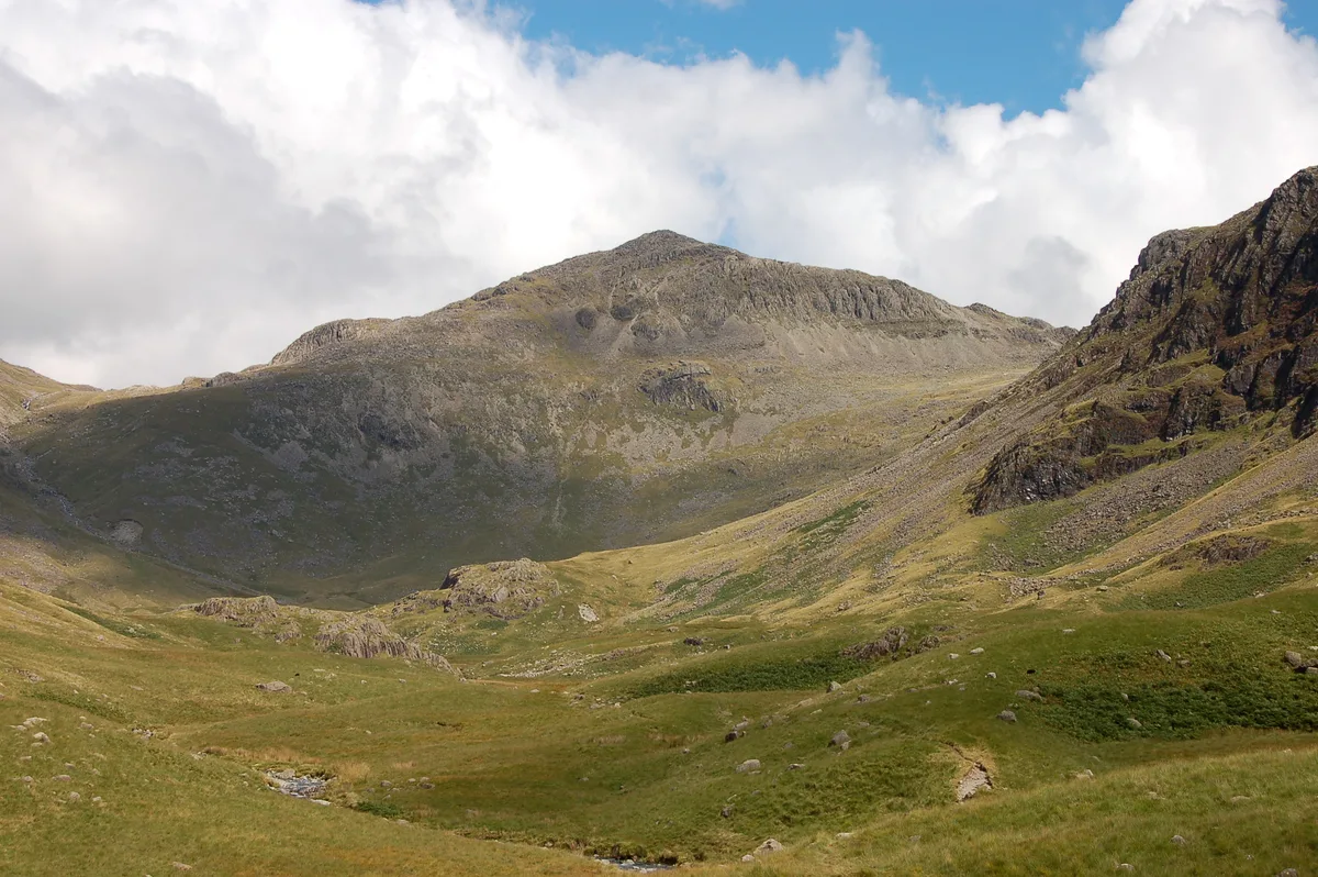
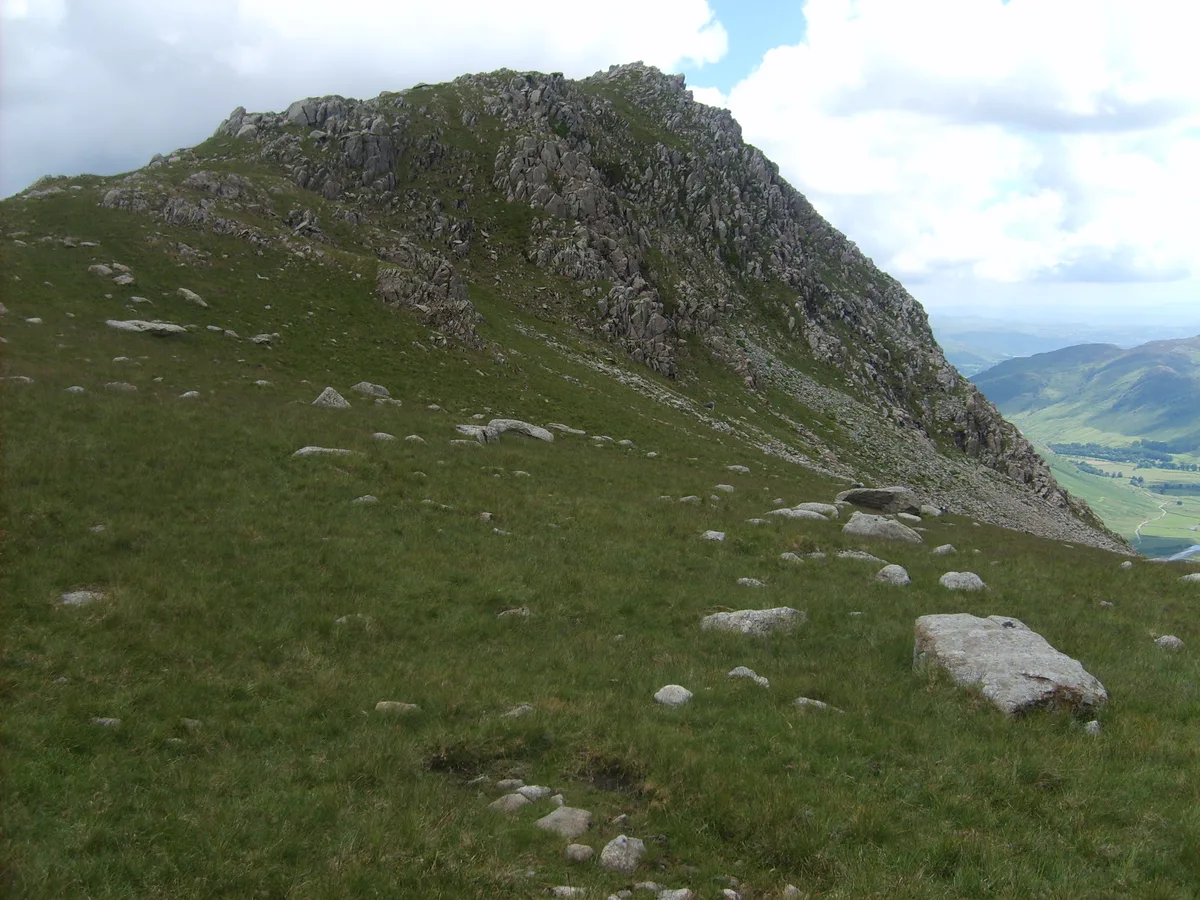
Bowfell
Bowfell — Named summit at 902.9 m.

Wikimedia Commons contributors — see linked file page for photographer and licence licence
Plan your visit
- Typical visit
- 3 h–8 h
- Best time of year
- Late spring – early autumn (May–Oct)
- Nearest railway station
- Dalegarth · 9.1 km
- Free entry
- Dog-friendly
About
Bowfell is a named summit in the United Kingdom. Wikidata describes it as: "Named summit at 902.9 m.". Coordinates: 54.4478°, -3.1662°.
Photo gallery
From the Wikipedia article
Bowfell (named Bow Fell on Ordnance Survey maps) is a pyramid-shaped mountain lying at the heart of the English Lake District, in the Southern Fells area. It is the eighth-highest mountain in the Lake District and one of the most popular of the Lake District fells for walkers. It is listed in Alfred Wainwright's 'best half dozen' Lake District fells.
Excerpt from Wikipedia under CC BY-SA 4.0. See the source article linked in Sources below.
- Coordinates
- 54.4478, -3.1662
- Address
- Cumbria, England
- Nearest railway station
- Dalegarth — 9.1 km
Sources
- osm: n5340666308 (ODbL)
- wikipedia: Bowfell (CC BY-SA 4.0)
- commons: Bow Fell from Lingcove.JPG (CC BY-SA 4.0)
Other places nearby
Loading nearby places…
Nearby
 📷 4
📷 4Natural landmarks · North West England
Bowfell
Bowfell — mountain in the United Kingdom.
Climbing & bouldering crags · North West England
Cambridge Crags
Cambridge Crags — a climbing crag in england north west.
Climbing & bouldering crags · North West England
Flat Crags
Flat Crags — a climbing crag in england north west.
Climbing & bouldering crags · North West England
Bowfell Buttress
Bowfell Buttress — a climbing crag in england north west.
 📷 3
📷 3Memorials & monuments · North West England
The Packwoman's Grave
The Packwoman's Grave — a memorial in england-north-west, United Kingdom.
 📷 3
📷 3Mountains & hills · North West England
Rossett Pike
Rossett Pike — Named summit at 651 m.
More mountains in this region
 📷 3
📷 3Mountains & hills · North West England
Allen Crags
Allen Crags — Named summit at 785 m.
 📷 3
📷 3Mountains & hills · North West England
Alum Pot
Alum Pot — Open shaft pothole in North Yorkshire.
 📷 3
📷 3Mountains & hills · North West England
Arnside Knott
Arnside Knott — Named summit at 159 m.
 📷 3
📷 3Mountains & hills · North West England
Aye Gill Pike
Aye Gill Pike — Named summit at 556.3 m.
Frequently asked questions
- Where is Bowfell?
- Bowfell is in North West England, in the United Kingdom — coordinates 54.4478°, -3.1662°. The nearest railway station is Dalegarth, around 9.1 km away.
- Is Bowfell free to visit?
- Yes — admission to Bowfell is free.