Natural landmarks · North West England
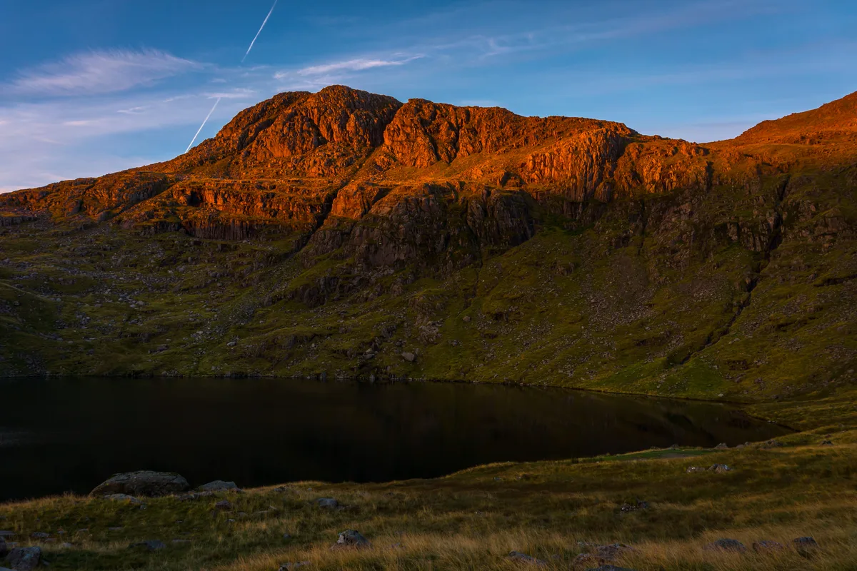
Angle Tarn
Angle Tarn — lake to the north of Bowfell, Cumbria, United Kingdom.

Wikimedia Commons contributors — see linked file page for photographer and licence licence
Plan your visit
- Typical visit
- 1 h–2 h
- Nearest railway station
- Dalegarth · 9.9 km
- Free entry
- Dog-friendly
About
Angle Tarn is a named natural landmark in the United Kingdom. Wikidata describes it as: "lake to the north of Bowfell, Cumbria, United Kingdom". Coordinates: 54.4586°, -3.1672°.
Photo gallery
From the Wikipedia article
Angle Tarn is a tarn to the north of Bowfell in the English Lake District. It drains into Langstrath Beck. This should not be confused with Angle Tarn (Patterdale), a larger lake with the same name about 11.5 miles (18.5 km) to the south-west, also within the Lake District National Park.
Excerpt from Wikipedia under CC BY-SA 4.0. See the source article linked in Sources below.
- Coordinates
- 54.4586, -3.1672
- Address
- Lake District
- Nearest railway station
- Dalegarth — 9.9 km
Sources
- wikidata: Q4763351 (CC0)
- wikipedia: Angle Tarn (Langstrath) (CC BY-SA 4.0)
- commons: Angle Tarn.jpg (CC BY-SA 4.0)
Other places nearby
Loading nearby places…
Nearby
 📷 3
📷 3Natural landmarks · North West England
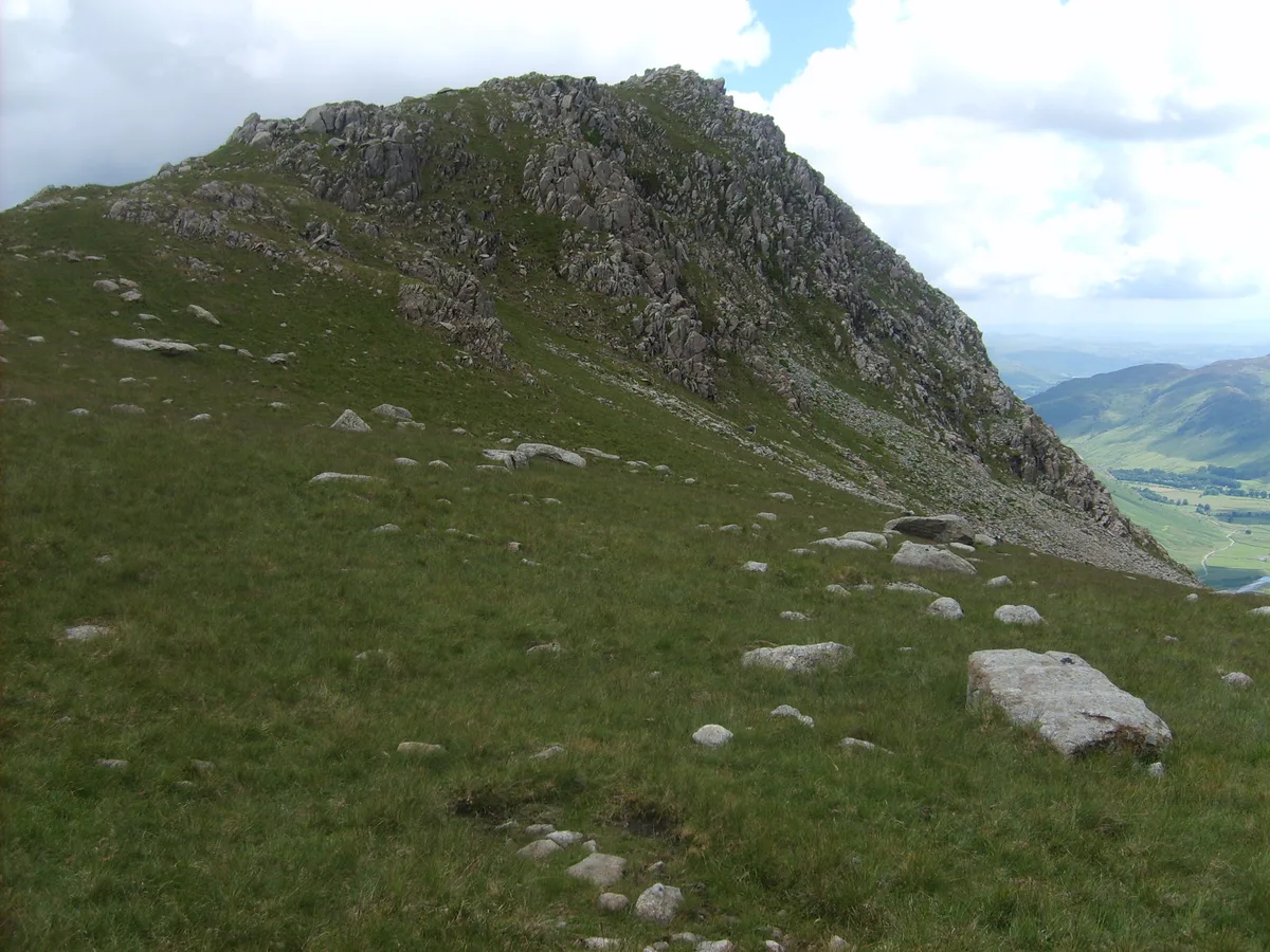
Rossett Pike
Rossett Pike — mountain in United Kingdom.
 📷 3
📷 3Mountains & hills · North West England
Rossett Pike
Rossett Pike — Named summit at 651 m.
 📷 3
📷 3Memorials & monuments · North West England
The Packwoman's Grave
The Packwoman's Grave — a memorial in england-north-west, United Kingdom.
 📷 3
📷 3Mountains & hills · North West England
Esk Pike
Esk Pike — Named summit at 885 m.
 📷 3
📷 3Natural landmarks · North West England
Esk Pike
Esk Pike is a natural landmark in the United Kingdom.
Climbing & bouldering crags · North West England
Bowfell Buttress
Bowfell Buttress — a climbing crag in england north west.
More natural landmarks in this region
 ★ Iconic📷 4
Natural landmarks · North West England
Coniston Water
Lake District lake — Swallows and Amazons setting and Donald Campbell water-speed history.
 📷 3
📷 3Natural landmarks · North West England
Elter Water
Elter Water — lake in the United Kingdom.
 📷 3
📷 3Natural landmarks · North West England
Esthwaite Water
Esthwaite Water — lake in the United Kingdom.
 Flagship📷 5
Natural landmarks · North West England
Semerwater
Semerwater — lake in North Yorkshire, England, UK.
Frequently asked questions
- Where is Angle Tarn?
- Angle Tarn is in North West England, in the United Kingdom — coordinates 54.4586°, -3.1672°. The nearest railway station is Dalegarth, around 9.9 km away.
- Is Angle Tarn free to visit?
- Yes — admission to Angle Tarn is free.