Memorials & monuments · South East England
Boundary stone (Devil's Stone)
Boundary stone (Devil's Stone) — a memorial in england-south-east, United Kingdom.

Dave Spicer — CC BY-SA 2.0 via Wikimedia Commons licence
Plan your visit
- Typical visit
- 15 min–45 min
- Free entry
- Dog-friendly
About
Boundary stone (Devil's Stone) is a memorial located in england-south-east, United Kingdom. Sourced from OpenStreetMap (ODbL licence); see local listings for visitor information, opening hours and admission details.
Photo gallery
Place summary
The Boundary Stone, also known as the Devil's Stone, is a memorial located in South-East England. It serves as a historical marker, denoting territorial boundaries in the region. The stone's significance lies in its role in local history and folklore.
AI-generated from the structured facts on this page (operator, designation, listing, era). Not a substitute for visiting.
- Coordinates
- 50.8492, -0.2414
- County
- West Sussex
- District
- Adur
- Parish
- Adur, unparished area
- Postcode
- BN42 4YN
- Parliamentary constituency
- East Worthing and Shoreham
Sources
- osm: node/4002650699 (ODbL)
Other places nearby
Loading nearby places…
Nearby
 📷 5
📷 5Maritime museums · South East England
Landing Craft
Landing Craft — a maritime museum in england-south-east, United Kingdom.
 📷 5
📷 5Museums · South East England
Southwick, West Sussex
Southwick, West Sussex — a museum in england-south-east, United Kingdom.
 📷 5
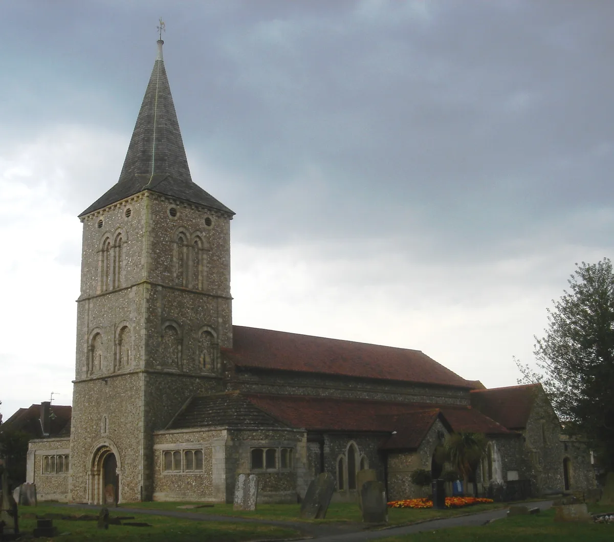
📷 5Historic churches · South East England
St Michael and All Angels Church, Southwick
St Michael and All Angels Church, Southwick is a historic church in the United Kingdom.
 📷 5
📷 5Theatres · South East England
The Barn Theatre
The Barn Theatre is a theatre in the United Kingdom.
.jpg?width=1200) 📷 5
📷 5Historic houses · South East England
The Hall
The Hall — house in Adur, West Sussex, England, UK.
 📷 5
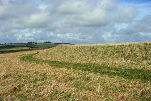
📷 5Mountains & hills · South East England
Thundersbarrow Hill
Thundersbarrow Hill — Named summit at 150 m.
More memorials in this region
 📷 5
📷 5Memorials & monuments · South East England
8th Duke of Devonshire
8th Duke of Devonshire is a memorial in the United Kingdom.
 📷 5
📷 5Memorials & monuments · South East England
Ailesbury Column
Ailesbury Column is a memorial in the United Kingdom.
 📷 5
📷 5Memorials & monuments · South East England
Alderbury War Memorial
Alderbury War Memorial is a memorial in the United Kingdom.
 📷 5
📷 5Memorials & monuments · South East England
Aldershot Cenotaph
Aldershot Cenotaph is a memorial in the United Kingdom.
Frequently asked questions
- Where is Boundary stone (Devil's Stone)?
- Boundary stone (Devil's Stone) is in West Sussex, South-East England, United Kingdom (postcode BN42 4YN), in the parish of Adur, unparished area.
- Is Boundary stone (Devil's Stone) free to visit?
- Yes, Boundary stone (Devil's Stone) is free to enter.
- How do I get to Boundary stone (Devil's Stone)?
- Drivers can navigate to postcode BN42 4YN. It sits within the East Worthing and Shoreham parliamentary constituency.