Towns & cities · South East England
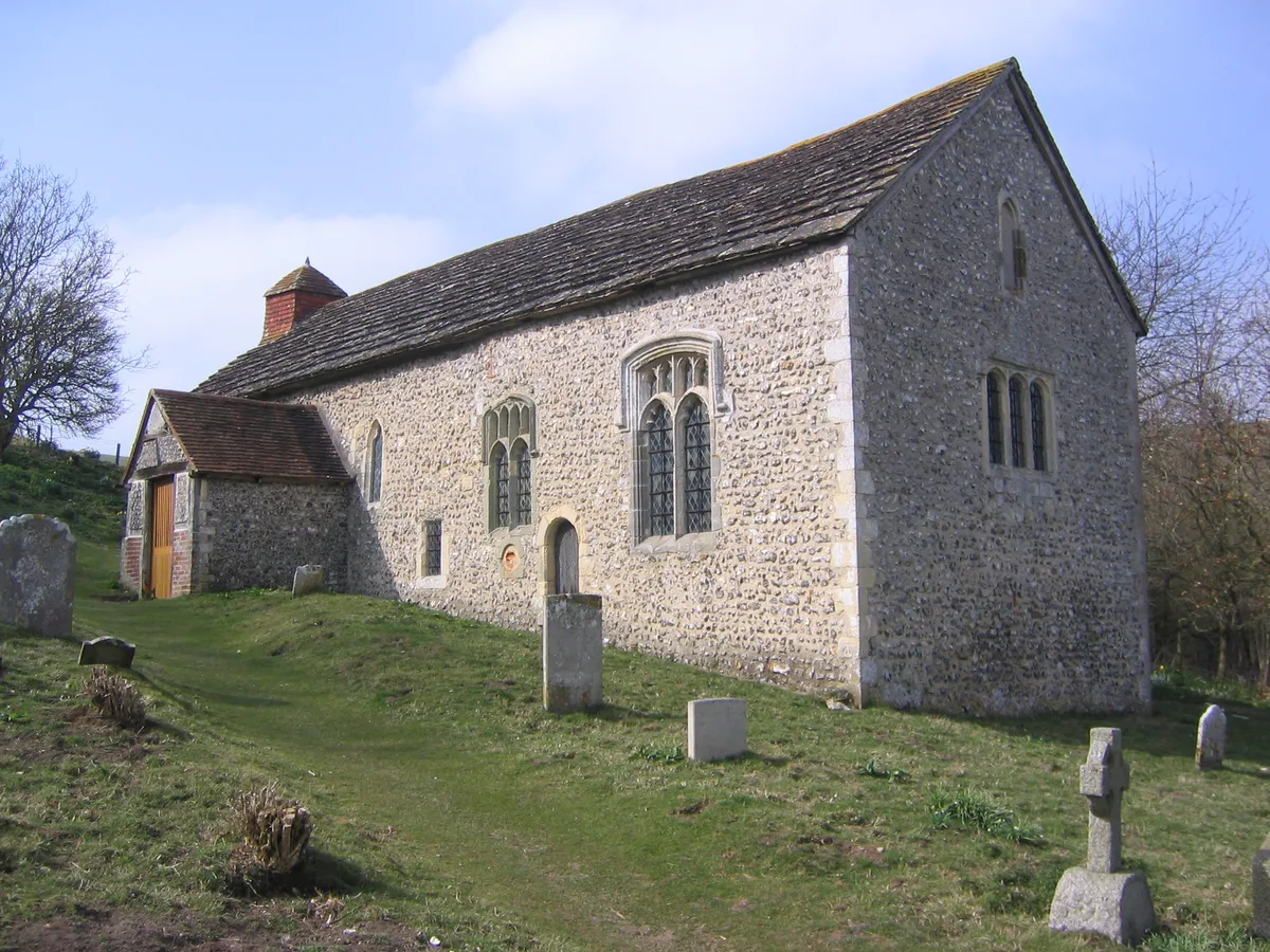
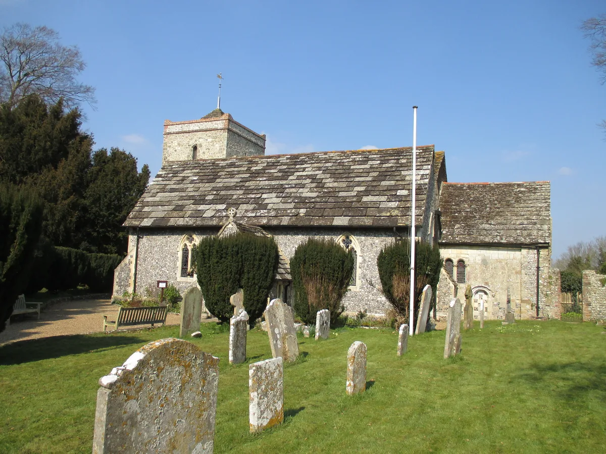
Botolphs
Botolphs — village in West Sussex, England, UK.

Wikimedia Commons contributors — see linked file page for photographer and licence licence
Plan your visit
- Typical visit
- 3 h–6 h
- Nearest railway station
- Shoreham-by-Sea · 4.7 km
- Free entry
- Family-friendly
- Dog-friendly
About
Botolphs is a town, city, village or settlement in the United Kingdom. Wikidata describes it as: "village in West Sussex, England, UK". Coordinates: 50.8710°, -0.3060°.
Photo gallery
From the Wikipedia article
Botolphs, is a village and former civil parish, located in the parish of Bramber, in the Horsham District of West Sussex, England. It is in the Adur Valley 1.5 miles (2.4 km) southeast of Steyning on the road between Steyning and Coombes. Botolphs lies on the South Downs Way long-distance footpath. In 1931 the parish had a population of 64. On 1 April 1933 the parish was abolished and merged with Bramber.
Excerpt from Wikipedia under CC BY-SA 4.0. See the source article linked in Sources below.
- Coordinates
- 50.8710, -0.3060
- County
- West Sussex
- District
- Horsham
- Parish
- Bramber
- Postcode
- BN44 3WS
- Parliamentary constituency
- Arundel and South Downs
- Nearest railway station
- Shoreham-by-Sea — 4.7 km
Sources
- wikidata: Q894754 (CC0)
- wikipedia: Botolphs (CC BY-SA 4.0)
- commons: St. Botolph's church, Botolphs, West Sussex.jpg (CC BY-SA 4.0)
Other places nearby
Loading nearby places…
Nearby
 📷 5
📷 5Historic churches · South East England
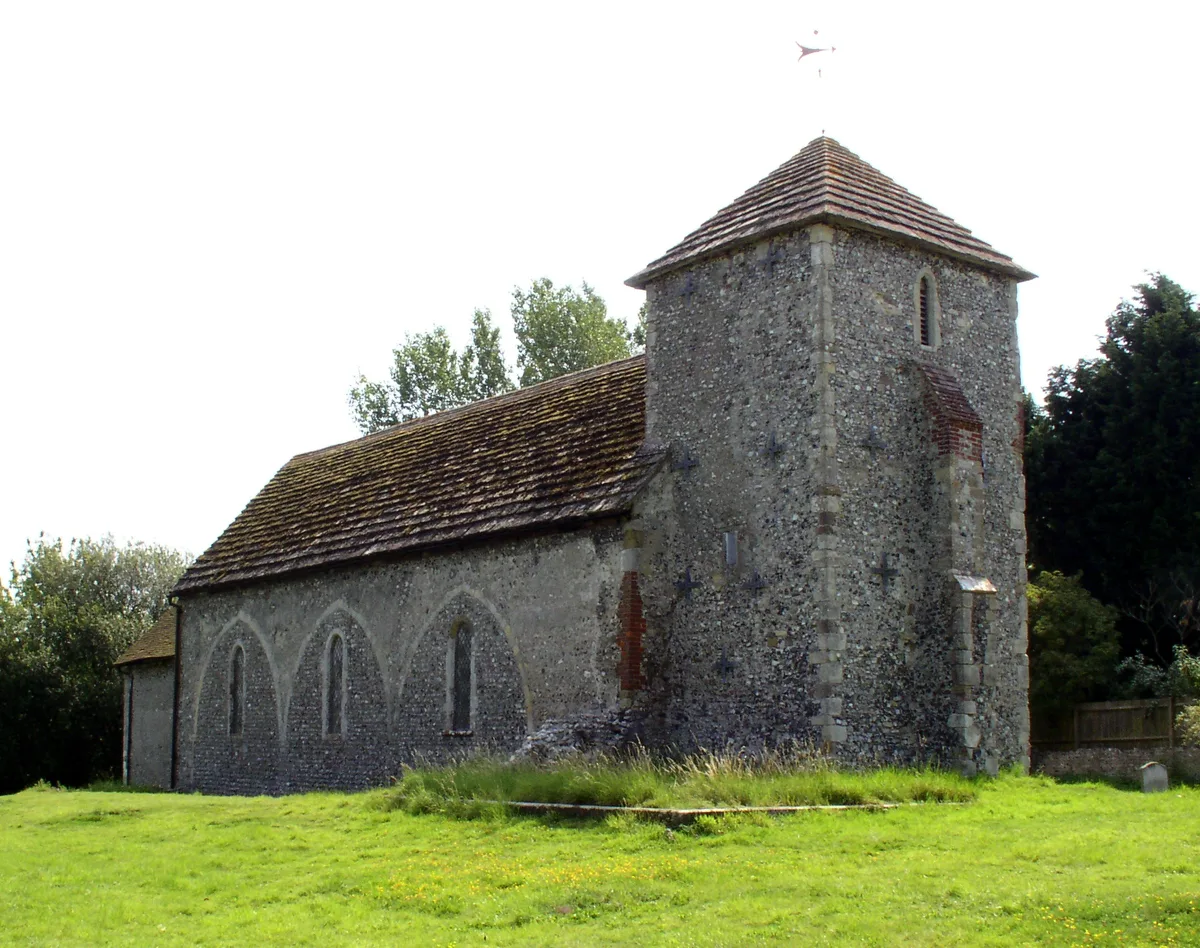
St Botolph's Church, Botolphs
St Botolph's Church, Botolphs — church in Botolphs, West Sussex, England, UK.
 Flagship📷 10
Towns & cities · South East England
Coombes
Coombes — village in West Sussex, England, UK.
 📷 5
📷 5Manor houses · South East England
Valerie Manor
Valerie Manor — Grade II listed building-listed manor in england-south-east, United Kingdom.
 📷 5
📷 5Historic churches · South East England
Coombes Church
Coombes Church is a historic church in the United Kingdom.
 Flagship📷 10
Towns & cities · South East England
Upper Beeding
Upper Beeding — village in West Sussex, England, UK.
.jpg?width=1200) 📷 5
📷 5Chapels · South East England
Erringham chapel
Erringham chapel — former place of worship in Shoreham-by-Sea, West Sussex, England.
More towns in this region
 Flagship📷 10
Towns & cities · South East England
Aldermaston
Aldermaston — village and civil parish in West Berkshire in England, UK.
 Flagship📷 10
Towns & cities · South East England
Aldingbourne
Aldingbourne — village and civil parish in Arun, West Sussex, UK.
 Flagship📷 10
Towns & cities · South East England
Aldington
Aldington — village and civil parish in the Ashford District of Kent, England.
 Flagship📷 10
Towns & cities · South East England
Aldworth
Aldworth — village and civil parish in the English county of Berkshire.
Frequently asked questions
- Where is Botolphs?
- Botolphs is in West Sussex, South-East England, United Kingdom (postcode BN44 3WS), in the parish of Bramber.
- Is Botolphs free to visit?
- Yes, Botolphs is free to enter.
- How do I get to Botolphs?
- The nearest railway station is Shoreham-by-Sea, about 4.7 km away. Drivers can navigate to postcode BN44 3WS.