Historic churches · West Midlands
Borough of Warrington
The Borough of Warrington is a unitary authority area with borough status in the ceremonial county of Cheshire, England. The borough is centred around the town of Warrington, and extends out into outl

Matt Harrop — CC BY-SA 2.0 via Wikimedia Commons licence
Plan your visit
- Typical visit
- 30 min–1 h
- Free entry
About
The Borough of Warrington is a unitary authority area with borough status in the ceremonial county of Cheshire, England. The borough is centred around the town of Warrington, and extends out into outlying villages of Lymm and Great Sankey and the town of Birchwood. The borough is geographically located to the north and northeast of the Cheshire West and Chester and Halton districts in Cheshire, the metropolitan borough of St Helens in Merseyside to the northwest and north and the metropolitan boroughs of Wigan, Salford and Trafford in Greater Manchester to the northeast, east, and southeast. Additionally, to the south-east, the borough borders Cheshire East. The borough is also located between the cities of Liverpool, Manchester, Chester and Preston. The district straddles the historic counties of Cheshire (the southern part of the district includes Lymm and Stockton Heath) and Lancashire (the northern part including Warrington itself and Latchford).
Photo gallery
From the Wikipedia article
The Borough of Warrington is a unitary authority area with borough status in the ceremonial county of Cheshire, England. The borough is centred around the town of Warrington, and extends out into outlying villages of Lymm and Great Sankey and the town of Birchwood. The borough is geographically located to the north and northeast of the Cheshire West and Chester and Halton districts in Cheshire, the metropolitan borough of St Helens in Merseyside to the northwest and north and the metropolitan boroughs of Wigan, Salford and Trafford in Greater Manchester to the northeast, east, and southeast. Additionally, to the south-east, the borough borders Cheshire East. The borough is also located between the cities of Liverpool, Manchester, Chester and Preston. The district straddles the historic counties of Cheshire (the southern part of the district includes Lymm and Stockton Heath) and Lancashire (the northern part including Warrington itself and Latchford).
Excerpt from Wikipedia under CC BY-SA 4.0. See the source article linked in Sources below.
Background
History
The borough was historically split between the historic counties of Cheshire and Lancashire. The whole part of the borough (north of the River Mersey) was within the historic boundaries of the county of Lancashire which includes the town of Warrington, and the areas of Latchford, Great Sankey, Culcheth, Glazebury, Burtonwood and Birchwood. The whole part of the borough (south of the River Mersey) was within the historic boundaries of the county of Cheshire which includes the villages of Lymm, Stockton Heath, Appleton Thorn and Stretton. In 1974, local government reforms saw many old counties and districts abolished and new counties and districts were created. Warrington along with the…
Sourced from Wikipedia under CC BY-SA 4.0.
- Coordinates
- 53.3895, -2.5909
- District
- Warrington
- Parish
- Warrington, unparished area
- Postcode
- WA1 2NT
- Parliamentary constituency
- Warrington South
- Official site
- www.gravity-uk.com
Sources
- wikipedia: Borough of Warrington (CC BY-SA 4.0)
Other places nearby
Loading nearby places…
Nearby
📷 3Theatres · North West England
Odeon Warrington
Odeon Warrington in England North West, United Kingdom.
 📷 3
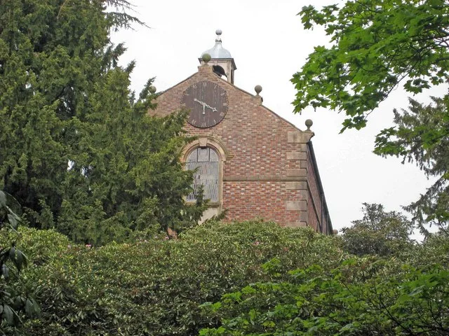
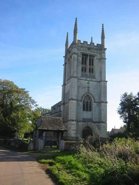
📷 3Historic churches · West Midlands
Holy Trinity Church, Warrington
Holy Trinity Church, Warrington — Grade II* listed church in Warrington, Cheshire, England, UK.
Cinemas · West Midlands
Cineworld
Cineworld — a cinema in england west midlands.
 📷 4
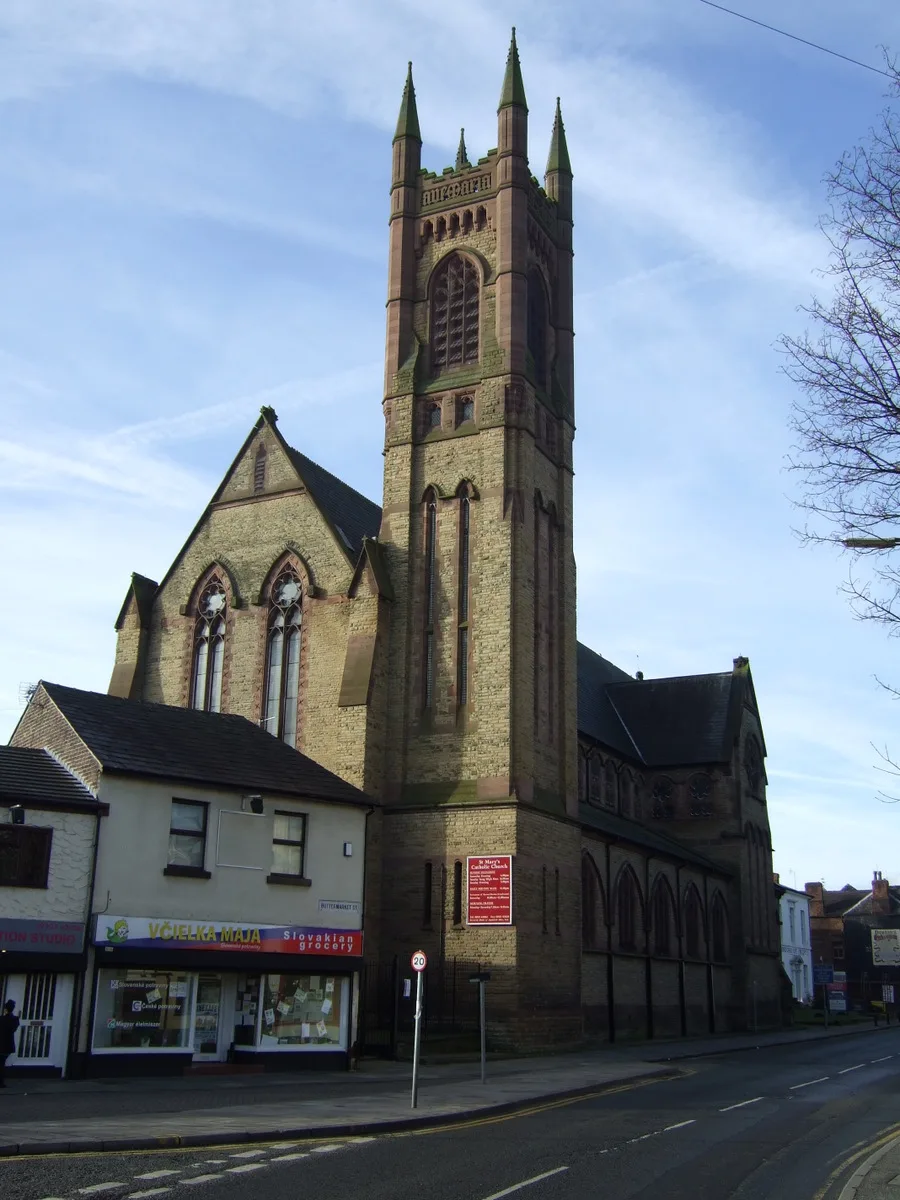
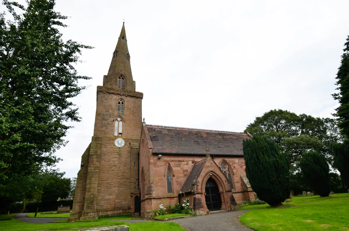
📷 4Historic churches · West Midlands
St Mary's Church, Warrington
St Mary's Church, Warrington — grade II listed church in Warrington, Cheshire, England, UK.
 📷 3
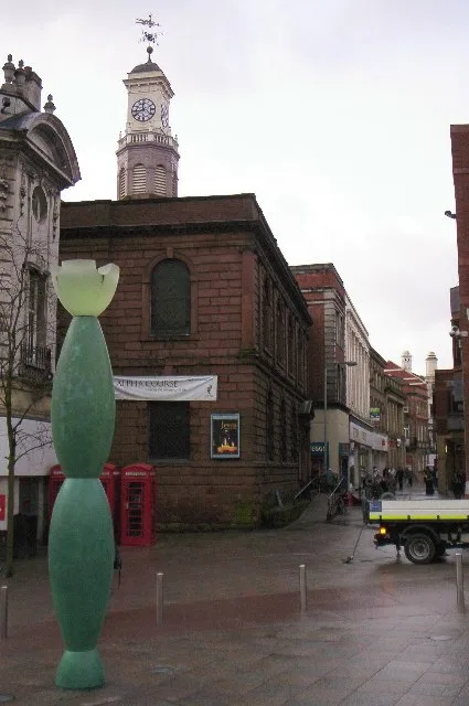
📷 3Public art & sculpture · West Midlands
The Skittles
The Skittles — a public art in england-west-midlands, United Kingdom.
 📷 3
📷 3Public art & sculpture · West Midlands
Alice in Wonderland table
Alice in Wonderland table — a public art in england-west-midlands, United Kingdom.
More places in this region
 📷 3
📷 3Historic churches · West Midlands
All Saints Chapel, Somerford
All Saints Chapel, Somerford — church in Cheshire East, Cheshire, England, UK.
 📷 4
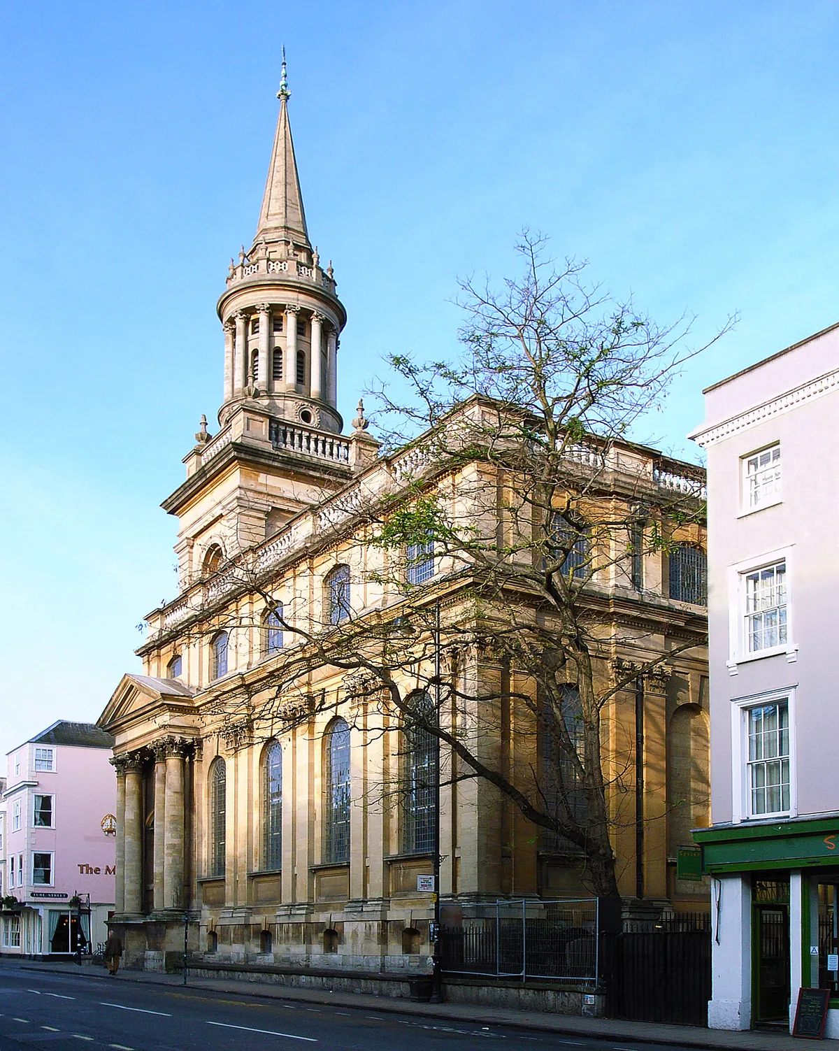
📷 4Historic churches · West Midlands
All Saints Church
All Saints Church — church building in Oxford, UK.
 📷 3
📷 3Historic churches · West Midlands
All Saints Church, Aldwincle
All Saints Church, Aldwincle — church in Aldwincle, Northamptonshire, UK.
 📷 3
📷 3Historic churches · West Midlands
All Saints Church, Allesley
All Saints Church, Allesley — Grade I listed church in Coventry, West Midlands, England, UK.
Frequently asked questions
- Where is Borough of Warrington?
- Borough of Warrington is in the West Midlands, United Kingdom (postcode WA1 2NT), in the parish of Warrington, unparished area.
- Who owns Borough of Warrington?
- Borough of Warrington is owned by Warrington Borough Council.
- Is Borough of Warrington free to visit?
- Yes, Borough of Warrington is free to enter.
- How do I get to Borough of Warrington?
- Drivers can navigate to postcode WA1 2NT. It sits within the Warrington South parliamentary constituency.