Museums · North West England
Borough of Burnley
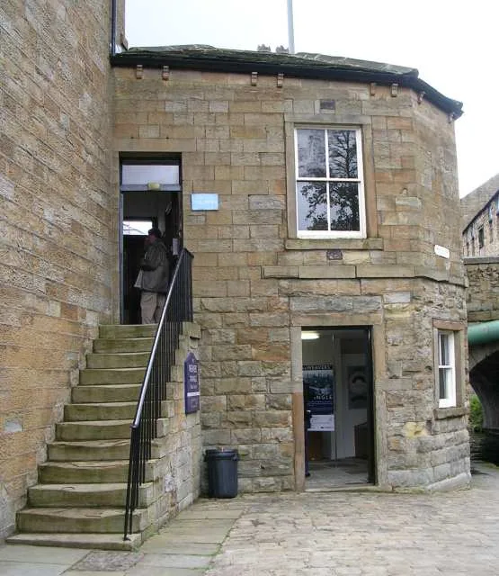
The Borough of Burnley () is a local government district with the borough status in Lancashire, England. It has an area of 42.9 square miles (111 km2) and a population of 99,233 (2024), and is named a

Alexander P Kapp — CC BY-SA 2.0 via Wikimedia Commons licence
Plan your visit
- Typical visit
- 1.5 h–3 h
- Best time of year
- Year-round
- Family-friendly
- Limited wheelchair access
About
The Borough of Burnley () is a local government district with the borough status in Lancashire, England. It has an area of 42.9 square miles (111 km2) and a population of 99,233 (2024), and is named after its largest town, Burnley. The borough also contains the town of Padiham along with several villages and surrounding rural areas. The neighbouring districts are Rossendale, Hyndburn, Ribble Valley, Pendle and Calderdale.
Photo gallery
From the Wikipedia article
The Borough of Burnley () is a local government district with the borough status in Lancashire, England. It has an area of 42.9 square miles (111 km2) and a population of 99,233 (2024), and is named after its largest town, Burnley. The borough also contains the town of Padiham along with several villages and surrounding rural areas. The neighbouring districts are Rossendale, Hyndburn, Ribble Valley, Pendle and Calderdale.
Excerpt from Wikipedia under CC BY-SA 4.0. See the source article linked in Sources below.
Background
History
The town of Burnley had been governed by improvement commissioners from 1819. The commissioners were replaced in 1861 when the town was made a municipal borough, governed by a body formally called the "mayor, aldermen and burgesses of the borough of Burnley" but generally known as the corporation or town council. After elections, the corporation first met in January 1862 when Burnley's first mayor was appointed. When elected county councils were established in 1889, Burnley was considered large enough to provide its own county-level services, and so it became a county borough, independent from the new Lancashire County Council. The modern district was created on 1 April 1974 under the Local…
Sourced from Wikipedia under CC BY-SA 4.0.
- Coordinates
- 53.7870, -2.2450
- County
- Lancashire
- District
- Burnley
- Parish
- Burnley, unparished area
- Postcode
- BB11 1BH
- Parliamentary constituency
- Burnley
Sources
- wikipedia: Borough of Burnley (CC BY-SA 4.0)
Other places nearby
Loading nearby places…
Nearby
 📷 4
📷 4Theatres · North West England
Burnley Mechanics
Burnley Mechanics is a theatre in the United Kingdom.
 📷 5
📷 5Museums · North West England
Weavers' Triangle
Weavers' Triangle — historic textie-producing area with a cotton museum in Lancashire, England.
 📷 3
📷 3Theatres · North West England
Temperance Hall
Temperance Hall in England North West, United Kingdom.
 📷 3
📷 3Theatres · North West England
Savoy Cinema Superb
Savoy Cinema Superb in England North West, United Kingdom.
 📷 3
📷 3Bowling alleys · North West England
MFA Bowling Alley
MFA Bowling Alley — a bowling in england-north-west, United Kingdom.
Cinemas · North West England
Reel Cinema
Reel Cinema — a cinema in england north west.
More museums in this region
 📷 3
📷 3Museums · North West England
Abbot Hall Art Gallery
Abbot Hall Art Gallery — Grade I listed art museum in Kendal, United Kingdom.
 📷 4
📷 4Museums · North West England
Bancroft Shed
Bancroft Shed — mill museum in Barnoldswick, Pendle, Lancashire, England, UK.
 📷 3
📷 3Museums · North West England
Blackburn Museum and Art Gallery
Blackburn Museum and Art Gallery — museum in Lancashire, England.
 📷 5
📷 5Museums · North West England
Bolton Steam Museum
Bolton Steam Museum — industrial museum in England, United Kingdom.
Frequently asked questions
- Where is Borough of Burnley?
- Borough of Burnley is in North West England, in the United Kingdom — coordinates 53.7870°, -2.2450°.
- Is Borough of Burnley wheelchair accessible?
- Partially — OpenStreetMap notes limited wheelchair access at Borough of Burnley. Check ahead for specific facilities.