Museums · East Midlands
Borough of Broxtowe
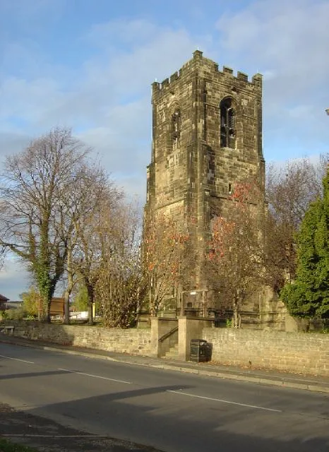
Broxtowe is a local government district with borough status in Nottinghamshire, England. It lies immediately west of the city of Nottingham, and most of the built-up areas of the borough form part of

Alan Murray-Rust — CC BY-SA 2.0 via Wikimedia Commons licence
Plan your visit
- Typical visit
- 1.5 h–3 h
- Best time of year
- Year-round
- Family-friendly
- Limited wheelchair access
About
Broxtowe is a local government district with borough status in Nottinghamshire, England. It lies immediately west of the city of Nottingham, and most of the built-up areas of the borough form part of the Nottingham Urban Area. The council is based in Beeston and the borough also includes the towns of Eastwood, Kimberley and Stapleford and surrounding villages and rural areas. The neighbouring districts are Ashfield, Nottingham, Rushcliffe, Erewash and Amber Valley.
Photo gallery
From the Wikipedia article
Broxtowe is a local government district with borough status in Nottinghamshire, England. It lies immediately west of the city of Nottingham, and most of the built-up areas of the borough form part of the Nottingham Urban Area. The council is based in Beeston and the borough also includes the towns of Eastwood, Kimberley and Stapleford and surrounding villages and rural areas. The neighbouring districts are Ashfield, Nottingham, Rushcliffe, Erewash and Amber Valley.
Excerpt from Wikipedia under CC BY-SA 4.0. See the source article linked in Sources below.
Background
History
The district was formed on 1 April 1974 under the Local Government Act 1972. The new district covered the whole area of two former districts and part of a third, which were all abolished at the same time: The new district was named after the ancient Broxtowe Wapentake, which had covered a larger area. Despite the name, the district does not include the Broxtowe Estate, which is in Nottingham. The district was granted borough status in 1977, allowing the chair of the council to take the title of mayor.
Sourced from Wikipedia under CC BY-SA 4.0.
- Coordinates
- 52.9500, -1.2700
- County
- Nottinghamshire
- District
- Broxtowe
- Parish
- Trowell
- Postcode
- NG9 3TG
- Parliamentary constituency
- Broxtowe
Sources
- wikipedia: Borough of Broxtowe (CC BY-SA 4.0)
Other places nearby
Loading nearby places…
Nearby
📷 3Historic bridges · East Midlands
Nottingham Canal Swansea Bridge
Nottingham Canal Swansea Bridge — Grade II listed building-listed bridge in england-east-midlands, United Kingdom.
 📷 3
📷 3Historic bridges · East Midlands
Nottingham Canal Swancar Bridge
Nottingham Canal Swancar Bridge — Grade II listed building-listed bridge in england-east-midlands, United Kingdom.
 📷 3
📷 3Memorials & monuments · East Midlands
1951 Festival of Britain Village
1951 Festival of Britain Village — a memorial in england-east-midlands, United Kingdom.
 📷 3
📷 3Canals · East Midlands
Nottingham Canal
Nottingham Canal — canal in the East Midlands, United Kingdom.
 📷 5
📷 5Abbeys & priories · East Midlands
St Helen's Church, Trowell
St Helen's Church, Trowell — parish church in the Church of England in Trowell, Nottinghamshire, England, UK.
📷 5Cathedrals · East Midlands
St Helen's Church, Trowell
St Helen's Church, Trowell is a cathedral in the United Kingdom.
More museums in this region
 📷 3
📷 3Museums · East Midlands
6 Former Filter Beds, Water Tank With Gazebo, And Steps At Swithland Reservoir Water Works
6 Former Filter Beds, Water Tank With Gazebo, And Steps At Swithland Reservoir Water Works — architectural ensemble in Quorndon, Charnwood, Leicestershire, England, UK.
 📷 3
📷 3Museums · East Midlands
Abbeydale Industrial Hamlet
Abbeydale Industrial Hamlet — hamlet and industrial museum in Sheffield, UK.
 📷 3
📷 3Museums · East Midlands
Alstonefield Geohut
Alstonefield Geohut — museum in Alstonefield, Staffordshire, England, UK.
 📷 3
📷 3Museums · East Midlands
Ashby de la Zouch Museum
Ashby de la Zouch Museum — local museum in Ashby de la Zouch, Leicestershire, United Kingdom.
Frequently asked questions
- Where is Borough of Broxtowe?
- Borough of Broxtowe is in East Midlands, in the United Kingdom — coordinates 52.9500°, -1.2700°.
- Is Borough of Broxtowe wheelchair accessible?
- Partially — OpenStreetMap notes limited wheelchair access at Borough of Broxtowe. Check ahead for specific facilities.