Hill forts · South East England
Blewburton Hill
Blewburton Hill — hillfort in Oxfordshire, England, UK.

Wikimedia Commons contributors — see linked file page for photographer and licence licence
Plan your visit
- Typical visit
- 1 h–2 h
- Nearest railway station
- Cholsey · 3.7 km
- Free entry
- Dog-friendly
About
Blewburton Hill is a hill fort in the United Kingdom. Heritage designation: scheduled monument. Wikidata describes it as: "hillfort in Oxfordshire, England, UK". Coordinates: 51.5716°, -1.2125°.
Photo gallery
Protected designations
- Area of Outstanding Natural Beauty: North Wessex Downs
Designations sourced from Natural England open data under OGL v3.
From the Wikipedia article
Blewburton Hill is the site of an Iron Age hillfort located in Oxfordshire, in the southeast of England. It was a univallate hillfort (with a single rampart). The area is mostly farmland with some small areas of wooded copse to the south and the northeast. The hill fort may have been occupied from the 4th century BC to the 1st century BC, and replaced a small settlement surrounded by a stockade, which is estimated to have been built in the 5th or 6th century BC. The hill demonstrates three principal phases, with the first consisting of a timber palisade surrounding a small settlement consisting of a few huts, dating to about 550 BC. This was later replaced in the 4th century BC by the first version of the hillfort, which covered twice the area as that included within the earlier palisade, with a single rampart and shallow ditch. After a period of abandonment, the hillfort was refortified around 100 BC, and the ditch was deepened. The fort was finally abandoned about 50 BC, with some evidence for a violent end to its occupation. During the early Anglo-Saxon period, the hilltop was used as a cemetery. The west side of the hill features a number of lynchets (terraces), the age and function of which are unknown, although they are believed to post-date the Iron Age. The site has been designated as a scheduled monument.
Excerpt from Wikipedia under CC BY-SA 4.0. See the source article linked in Sources below.
Background
History
The hillfort appears to have been relatively intensely inhabited, compared to other hillforts in the region. the stone for which must have been imported from elsewhere. Around 50 BC the hillfort was finally abandoned, perhaps due to expansion of the Belgae. The excavators uncovered evidence for a violent end to the occupation of the fort, with collapsed ramparts, signs of burning, and dead animals left where they lay. Centuries later, the Anglo-Saxons used the interior of the fort as a cemetery. The cemetery was dated to the early Anglo-Saxon period, and 22 buried individuals were excavated, and one cremation. Most of the remains were accompanied by grave goods.
Description
The hillfort encloses an area of approximately 4 ha. There was an 11 m wide entrance on the west side of the fort, which may have possessed an overhead walkway. The gateway was protected by a ditch behind it, although this was later filled in. Unusually, a number of horse burials were found within the entrance. During the second phase of the fort, excavated postholes demonstrate that it possessed a double gate. The rampart was originally 6.4 m wide, with a 4 m gap between the inner and outer retaining timber supports. The rampart was built from chalk packed firmly between the timber retainers. The second phase of the rampart was of the "Low Dump" type, with an asymmetrical cross-section and…
Sourced from Wikipedia under CC BY-SA 4.0.
- Coordinates
- 51.5716, -1.2125
- County
- Oxfordshire
- District
- South Oxfordshire
- Parish
- Aston Upthorpe
- Postcode
- OX11 9HQ
- Parliamentary constituency
- Didcot and Wantage
- Nearest railway station
- Cholsey — 3.7 km
Sources
- wikidata: Q4926412 (CC0)
- wikipedia: Blewburton Hill (CC BY-SA 4.0)
- commons: Blewburton Hill - geograph.org.uk - 80312.jpg (CC BY-SA 4.0)
Other places nearby
Loading nearby places…
Nearby
 📷 5
📷 5Historic houses · South East England
The Manor House
The Manor House — Grade II* listed manor house in Aston Tirrold, Oxfordshire, England, UK.
 📷 5
📷 5Manor houses · South East England
Blewbury Manor
Blewbury Manor — Grade II listed building-listed manor in england-south-east, United Kingdom.
 📷 5
📷 5Historic houses · South East England
Boham's House
Boham's House — Grade II listed house in Blewbury, Vale of White Horse, Oxfordshire, England, UK.
 📷 5
📷 5Historic houses · South East England
Corrydon House
Corrydon House — house in Blewbury, Vale of White Horse, Oxfordshire, England, UK.
 📷 5
📷 5Castles · South East England
South Moreton Castle
South Moreton Castle — a castle in england-south-east, United Kingdom.
.jpg?width=1200) 📷 5
📷 5Historic houses · South East England
Manor House, Paper Mill Lane
Manor House, Paper Mill Lane — historic building in South Moreton, Oxfordshire, England, United Kingdom.
More places in this region
 Flagship📷 10
Hill forts · South East England
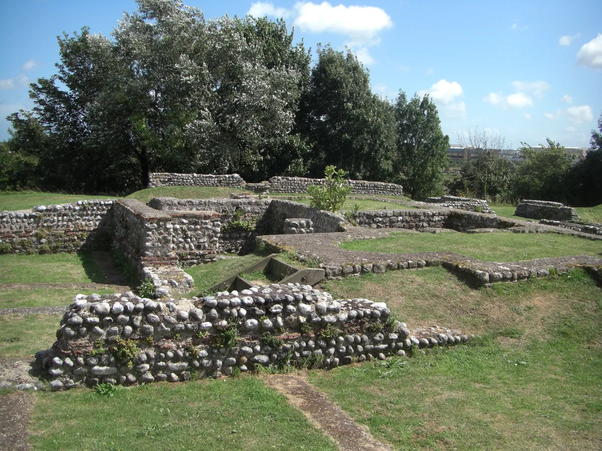
Castrum Anderitum
Castrum Anderitum — 3rd century Roman fort in the province of Britannia.
 Flagship📷 10
Hill forts · South East England
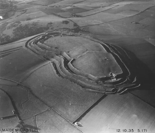
Maiden Castle
Maiden Castle — Iron Age hill fort in Dorset, England, UK.
 Flagship📷 10
Hill forts · South East England
Portus Adurni
Portus Adurni is a hill fort in the United Kingdom.
 Flagship📷 10
Hill forts · South East England
Richborough Roman Fort
Richborough Roman Fort — Roman fort at Richborough, Ash, United Kingdom.
Frequently asked questions
- Where is Blewburton Hill?
- Blewburton Hill is in Oxfordshire, South-East England, United Kingdom (postcode OX11 9HQ), in the parish of Aston Upthorpe.
- Is Blewburton Hill a listed building?
- Blewburton Hill is officially recognised as scheduled monument listed.
- Is Blewburton Hill a protected site?
- Yes — Blewburton Hill is part of the North Wessex Downs National Landscape (AONB).
- Is Blewburton Hill free to visit?
- Yes, Blewburton Hill is free to enter.
- How do I get to Blewburton Hill?
- The nearest railway station is Cholsey, about 3.7 km away. Drivers can navigate to postcode OX11 9HQ.