Towns & cities · West Midlands
Bladon
Bladon — village and civil parish on the River Glyme in West Oxfordshire, England.

Wikimedia Commons contributors — see linked file page for photographer and licence licence
Plan your visit
- Typical visit
- 3 h–6 h
- Nearest railway station
- Walled Garden Station · 0.8 km
- Free entry
- Family-friendly
- Dog-friendly
About
Bladon is a town, city, village or settlement in the United Kingdom. Recent population estimates put it at around 831 people. Address: OX20. Wikidata describes it as: "village and civil parish on the River Glyme in West Oxfordshire, England". Coordinates: 51.8320°, -1.3510°.
Photo gallery
From the Wikipedia article
Bladon is a village and civil parish on the River Glyme about 6+1⁄2 miles (10.5 km) northwest of Oxford, Oxfordshire, England. It is where Sir Winston Churchill is buried. The 2011 Census recorded the parish's population as 898.
Excerpt from Wikipedia under CC BY-SA 4.0. See the source article linked in Sources below.
- Coordinates
- 51.8320, -1.3510
- County
- Oxfordshire
- District
- West Oxfordshire
- Parish
- Bladon
- Postcode
- OX20
- Parliamentary constituency
- Bicester and Woodstock
- Population
- 831
- Nearest railway station
- Walled Garden Station — 0.8 km
- Official site
- bladon-pc.gov.uk
Sources
- wikidata: Q951740 (CC0)
- wikipedia: Bladon (CC BY-SA 4.0)
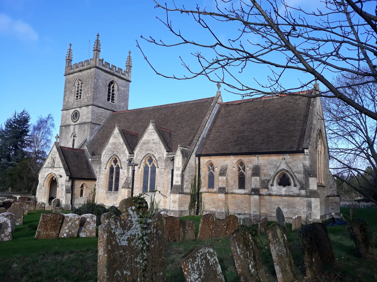
- commons: Bladon StMartin south.JPG (CC BY-SA 4.0)
Other places nearby
Loading nearby places…
Nearby
 📷 3
📷 3Natural landmarks · West Midlands
Winston Churchill
Winston Churchill — a other in england-west-midlands, United Kingdom.
 📷 5
📷 5Historic churches · West Midlands
St Martin's Church, Bladon
St Martin's Church, Bladon — church in Bladon near Woodstock, Oxfordshire, England, UK.
 📷 3
📷 3Memorials & monuments · West Midlands
Temple of Health
Temple of Health — a memorial in england-west-midlands, United Kingdom.
 📷 3
📷 3Historic bridges · West Midlands
Swiss Bridge, Approximately 890 Metres South South West Of Blenheim Palace
Swiss Bridge, Approximately 890 Metres South South West Of Blenheim Palace — Grade II listed building-listed bridge in england-west-midlands, United Kingdom.
 📷 3
📷 3Historic bridges · West Midlands
Hanborough Bridge And Flanking Walls (That Part In Bladon Civil Parish) Hanborough Bridge And Flanking Walls (That Part In Hanborough Civil Parish)
Hanborough Bridge And Flanking Walls (That Part In Bladon Civil Parish) Hanborough Bridge And Flanking Walls (That Part In Hanborough Civil Parish) — Grade II listed building-listed bridge in england
 📷 4
📷 4Historic bridges · West Midlands
Folly Bridge
Folly Bridge — Grade II listed building-listed bridge in england-west-midlands, United Kingdom.
More towns in this region
 Flagship📷 3
Towns & cities · West Midlands
Adderbury
Adderbury — village and civil parish in Cherwell district, Oxfordshire, England.
 Flagship📷 3
Towns & cities · West Midlands
Admington
Admington — village in Warwickshire, England, UK.
 Flagship📷 3
Towns & cities · West Midlands
Aldington
Aldington — village in Worcestershire, United Kingdom.
 Flagship📷 5
Towns & cities · West Midlands
Anstey
Anstey — large village in Leicestershire, England.
Frequently asked questions
- Where is Bladon?
- Bladon is in Oxfordshire, the West Midlands, United Kingdom (postcode OX20), in the parish of Bladon.
- Is Bladon free to visit?
- Yes, Bladon is free to enter.
- How do I get to Bladon?
- The nearest railway station is Walled Garden Station, about 0.8 km away. Drivers can navigate to postcode OX20.