Towns & cities · West Midlands
Binley Woods
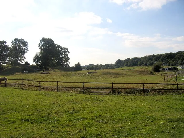
Binley Woods — village in Warwickshire, England, UK.

Wikimedia Commons contributors — see linked file page for photographer and licence licence
Plan your visit
- Typical visit
- 3 h–6 h
- Nearest railway station
- Copsewood Miniature Railway · 3.0 km
- Free entry
- Family-friendly
- Dog-friendly
About
Binley Woods is a town, city, village or settlement in the United Kingdom. It covers approximately 293 km². Recent population estimates put it at around 2,570 people. Wikidata describes it as: "village in Warwickshire, England, UK". Coordinates: 52.3940°, -1.4200°.
Photo gallery
From the Wikipedia article
Binley Woods is a suburban village and civil parish in Warwickshire, England. The village lies marginally beyond the eastern outskirts of Coventry, outside the formal city boundaries. Binley Woods is within the Borough of Rugby, although the town of Rugby is around 7 miles (11 km) to the east. In the 2021 census the parish had a population of 2,568. The village is 5 miles (8 km) east of central Coventry, on the A428 road, east of the junction with the A46 road. The small village of Brandon lies 1.5 miles (2.4 km) to the east, with the larger village of Wolston a further one-half mile (0.8 km) to the south.
Excerpt from Wikipedia under CC BY-SA 4.0. See the source article linked in Sources below.
Background
History
Binley Woods is a relatively modern village. Settlement began in the 1920s, when some of the estates of Coombe Abbey were sold off and people began to settle and build homes in the area, which was then known as Binley Common. In the early years, the village lacked modern amenities such as paved roads, street lighting, piped water or mains drainage; though these were gradually provided from the 1930s onwards, some of the side roads were not paved or lighted until the 1960s. During the 1940s, many people trekked to Binley Woods from Coventry to avoid air raids, often living in shacks and caravans. The village adopted its current name of Binley Woods in 1961 after a vote by villagers. The name…
Sourced from Wikipedia under CC BY-SA 4.0.
- Coordinates
- 52.3940, -1.4200
- County
- Warwickshire
- District
- Rugby
- Parish
- Binley Woods
- Postcode
- CV3 2DD
- Parliamentary constituency
- Rugby
- Population
- 2,570
- Nearest railway station
- Copsewood Miniature Railway — 3 km
Sources
- wikidata: Q1772258 (CC0)
- wikipedia: Binley Woods (CC BY-SA 4.0)
- commons: Binley Woods Village Hall - geograph.org.uk - 29352.jpg (CC BY-SA 4.0)
Other places nearby
Loading nearby places…
Nearby
 📷 3
📷 3Stadiums · West Midlands
Brandon Stadium
Brandon Stadium — sports venue in Warwickshire, England.
 📷 3
📷 3Castles · West Midlands
Brandon Castle
Brandon Castle — castle in Warwickshire, England, UK.
 📷 5
📷 5Historic bridges · West Midlands
Brandon Viaduct
Brandon Viaduct is a historic bridge in the United Kingdom.
 📷 5
📷 5Historic churches · West Midlands
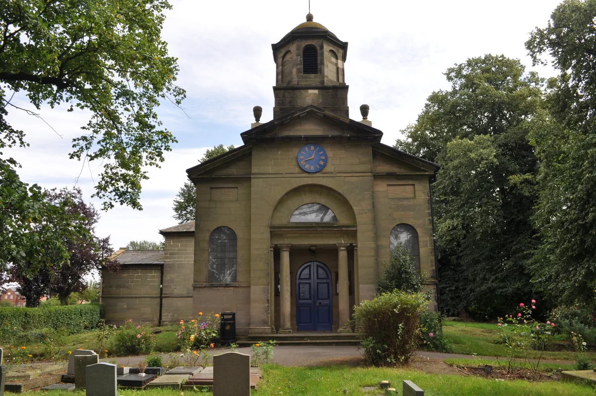
St Bartholomew's Church, Binley
St Bartholomew's Church, Binley — Grade I listed church in Coventry, West Midlands, England, UK.
 📷 3
📷 3Historic bridges · West Midlands
Wolston Bridge
Wolston Bridge — Grade II listed building-listed bridge in england-west-midlands, United Kingdom.
 📷 5
📷 5Wildlife reserves · West Midlands
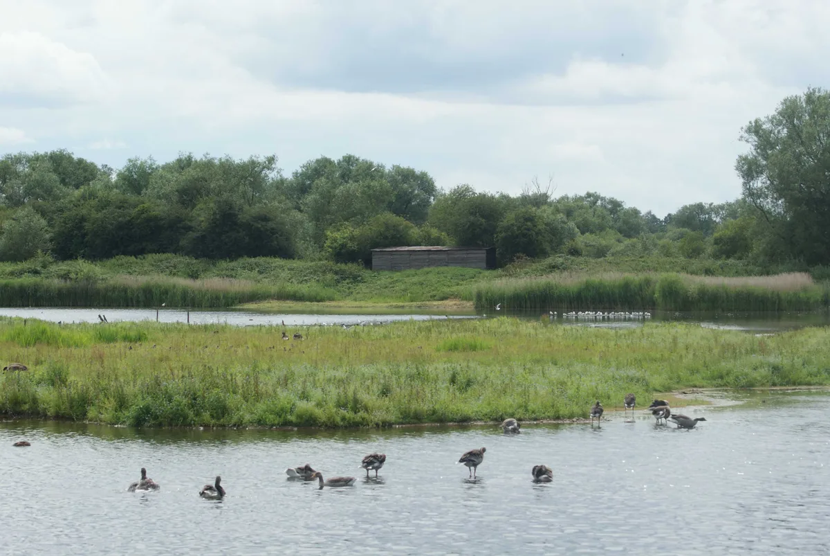
Brandon Marsh
Brandon Marsh — nature reserve in the United Kingdom.
More towns in this region
 Flagship📷 3
Towns & cities · West Midlands
Adderbury
Adderbury — village and civil parish in Cherwell district, Oxfordshire, England.
 Flagship📷 3
Towns & cities · West Midlands
Admington
Admington — village in Warwickshire, England, UK.
 Flagship📷 3
Towns & cities · West Midlands
Aldington
Aldington — village in Worcestershire, United Kingdom.
 Flagship📷 5
Towns & cities · West Midlands
Anstey
Anstey — large village in Leicestershire, England.
Frequently asked questions
- Where is Binley Woods?
- Binley Woods is in Warwickshire, the West Midlands, United Kingdom (postcode CV3 2DD), in the parish of Binley Woods.
- Is Binley Woods free to visit?
- Yes, Binley Woods is free to enter.
- How do I get to Binley Woods?
- The nearest railway station is Copsewood Miniature Railway, about 3.0 km away. Drivers can navigate to postcode CV3 2DD.