Mountains & hills · North Wales
Bera Mawr
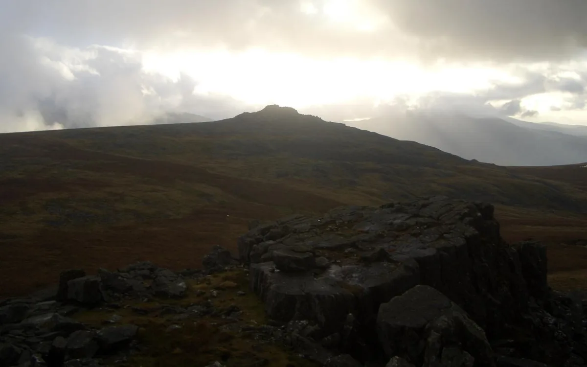
Bera Mawr — Named summit at 794 m.

Wikimedia Commons contributors — see linked file page for photographer and licence licence
Plan your visit
- Typical visit
- 3 h–8 h
- Best time of year
- Late spring – early autumn (May–Oct)
- Nearest railway station
- Llanfairfechan · 6.9 km
- Free entry
- Dog-friendly
About
Bera Mawr is a named summit in the United Kingdom. Wikidata describes it as: "Named summit at 794 m.". Coordinates: 53.1954°, -3.9852°.
Photo gallery
From the Wikipedia article
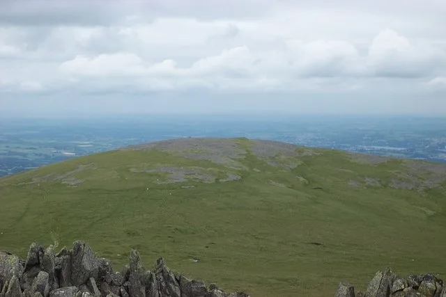
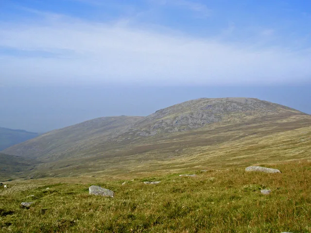
Bera Mawr is a summit in the Carneddau mountains in north Wales, height 794 metres. It and Bera Bach are together known as the Berau, or northern Carneddau. The summit is a large rock tor, characteristic of the western Carneddau. There are views of Llwytmor and Foel-fras to the north-east, Garnedd Uchaf to the south-east, Bera Bach to the south, Drosgl to the west and the Menai to the north-west. The Berau lie to the northwest of the two highest mountains in the Carneddau range: Carnedd Llewelyn and Carnedd Dafydd, both are named after 13th century Princes of Wales, Llywelyn the Great (1172-1240), and his grandson Prince Dafydd ap Gruffudd (1238-1283). It was in a bog in the northern foothills of Bera Mawr, at a place called Nanhysglain, that Prince Dafydd ap Gruffudd and his family were betrayed and captured in June 1283 during the Conquest of Wales by Edward I. In October, Dafydd was executed at Shrewsbury on the orders of Edward I. His death marked the end of the 700-year rule of Gwynedd by the family descended from Cunedda Wledig and an independent Wales.
Excerpt from Wikipedia under CC BY-SA 4.0. See the source article linked in Sources below.
- Coordinates
- 53.1954, -3.9852
- Address
- Gwynedd, Wales
- Nearest railway station
- Llanfairfechan — 6.9 km
Sources
- osm: n332215843 (ODbL)
- wikipedia: Bera Mawr (CC BY-SA 4.0)
- commons: Bera Mawr from the Summit of Yr Aryg - geograph.org.uk - 223084.jpg (CC BY-SA 4.0)
Other places nearby
Loading nearby places…
Nearby
 📷 3
📷 3Mountains & hills · North Wales
Bera Bach
Bera Bach — Named summit at 807 m.
 📷 3
📷 3Natural landmarks · North Wales
Drosgl
Drosgl — mountain (756.9m) in Gwynedd.
 📷 3
📷 3Natural landmarks · North Wales
Llwytmor
Llwytmor — mountain (849m) in Gwynedd.
 📷 3
📷 3Mountains & hills · North Wales
Llwytmor
Llwytmor — Named summit at 849 m.
 📷 3
📷 3Natural landmarks · North Wales
Y Rhaeadr Fawr
Y Rhaeadr Fawr — a other in wales-north, United Kingdom.
 📷 4
📷 4Historic bridges · North Wales
Aber Falls
Aber Falls (Welsh: Rhaeadr Fawr, lit. 'big waterfall') is a waterfall located about two miles (3 km) south of the village of Abergwyngregyn, Gwynedd, Wales. The waterfall is formed as the Afon Goch pl
More mountains in this region
 📷 5
📷 5Mountains & hills · North Wales
Cemlyn Bay and lagoon
Cemlyn Bay and lagoon — Site of Special Scientific Interest in Wales.
 📷 3
📷 3Mountains & hills · North Wales
Aberffraw Bay
Aberffraw Bay — bay on the west coast of Anglesey, in Wales, UK.
 📷 3
📷 3Mountains & hills · North Wales
Allt-fawr
Allt-fawr — Named summit at 698 m.
 📷 3
📷 3Mountains & hills · North Wales
Aran Benllyn
Aran Benllyn — Named summit at 884 m.
Frequently asked questions
- Where is Bera Mawr?
- Bera Mawr is in North Wales, United Kingdom.
- Is Bera Mawr free to visit?
- Yes, Bera Mawr is free to enter.
- How do I get to Bera Mawr?
- The nearest railway station is Llanfairfechan, about 6.9 km away.