Forests & woodlands · South East England
Benfield Hill Local Nature Reserve
Benfield Hill Local Nature Reserve is a forest or woodland in the United Kingdom.

Wikimedia Commons contributors — see linked file page for photographer and licence licence
Plan your visit
- Typical visit
- 1 h–3 h
- Nearest railway station
- Portslade · 2.2 km
- Free entry
- Family-friendly
- Dog-friendly
About
Benfield Hill Local Nature Reserve is a named forest, woodland or nature reserve in the United Kingdom. Coordinates: 50.8557°, -0.2088°.
Photo gallery
From the Wikipedia article
Benfield Hill is an 11.8-hectare (29-acre) Local Nature Reserve (LNR) on the northern outskirts of Hove in East Sussex and is within the boundaries of the South Downs National Park. It is owned and managed by Brighton and Hove City Council.
Excerpt from Wikipedia under CC BY-SA 4.0. See the source article linked in Sources below.
Background
History
Like the rest of the South Downs, Benfield Hill was used for sheep farming for 6000 years. The result was the creation of a hugely biodiverse chalk grassland, which biologist call a rainforest in miniature because of the forty or so different flowers that can be found in a square metre. Unfortunately, since the second world war most areas of the Downs are now intensively farmed and the rich wildlife these areas once supported has now gone. However, unlike other areas, the rich, grazed, biodiverse chalk grassland of Benfield Hill has been maintained by the Benfield Wildlife and Conservation group, which was set up in 1991. Benfield Hill was designated as a Local Nature Reserve in 1993 as a…
Sourced from Wikipedia under CC BY-SA 4.0.
- Coordinates
- 50.8557, -0.2088
- District
- Brighton and Hove
- Parish
- Brighton and Hove, unparished area
- Postcode
- BN3 8EX
- Parliamentary constituency
- Hove and Portslade
- Nearest railway station
- Portslade — 2.2 km
Sources
- osm: w955355324 (ODbL)
- wikipedia: Benfield Hill (CC BY-SA 4.0)
- commons: Benfield Hill - geograph.org.uk - 1656357.jpg (CC BY-SA 4.0)
Other places nearby
Loading nearby places…
Nearby
 📷 5
📷 5Historic churches · South East England
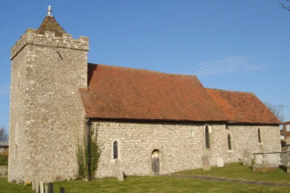
St Helen's Church, Hangleton
St Helen's Church, Hangleton — church in Brighton and Hove, East Sussex, England, UK.
 📷 5
📷 5Museums · South East England
Foredown Tower
Foredown Tower — a museum in england-south-east, United Kingdom.
 📷 5
📷 5Stately homes · South East England
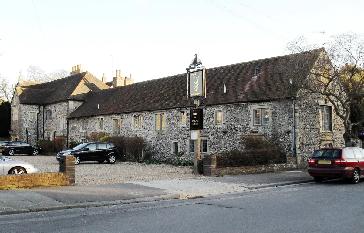
Hangleton Manor Inn
Hangleton Manor Inn — historic manor house in Hove, Sussex, England, UK.
 📷 5
📷 5Towns & cities · South East England
Hangleton
Hangleton — suburban erea of Brighton and Hove, England.
.jpg?width=1200) 📷 5
📷 5Historic pubs · South East England
Hangleton Manor
Hangleton Manor — Historic pub — listed building or notable heritage status.
 📷 5
📷 5Stately homes · South East England
Portslade Manor
Portslade Manor — former manor house in East Sussex, England, UK.
More forests in this region
 📷 5
📷 5Forests & woodlands · South East England
Alice Holt Forest
Alice Holt Forest is a forest or woodland in the United Kingdom.
.jpg?width=1200) 📷 5
📷 5Forests & woodlands · South East England
Alverstone Mead Nature Reserve
Alverstone Mead Nature Reserve is a forest or woodland in the United Kingdom.
 📷 5
📷 5Forests & woodlands · South East England
Ambarrow Court
Ambarrow Court is a forest or woodland in the United Kingdom.
 📷 5
📷 5Forests & woodlands · South East England
Ancells Farm Nature Reserve
Ancells Farm Nature Reserve is a forest or woodland in the United Kingdom.
Frequently asked questions
- Where is Benfield Hill Local Nature Reserve?
- Benfield Hill Local Nature Reserve is in South-East England, United Kingdom (postcode BN3 8EX), in the parish of Brighton and Hove, unparished area.
- Who owns Benfield Hill Local Nature Reserve?
- Benfield Hill Local Nature Reserve is owned by Brighton and Hove City Council.
- Is Benfield Hill Local Nature Reserve free to visit?
- Yes, Benfield Hill Local Nature Reserve is free to enter.
- How do I get to Benfield Hill Local Nature Reserve?
- The nearest railway station is Portslade, about 2.2 km away. Drivers can navigate to postcode BN3 8EX.