Historic churches · West Midlands
Belton-in-Rutland
Belton-in-Rutland is a village and civil parish in the county of Rutland in the East Midlands of England. The population at the 2001 census was 345 increasing to 348 at the 2011 census. It is situated

Alan Murray-Rust — CC BY-SA 2.0 via Wikimedia Commons licence
Plan your visit
- Typical visit
- 30 min–1 h
- Free entry
About
Belton-in-Rutland is a village and civil parish in the county of Rutland in the East Midlands of England. The population at the 2001 census was 345 increasing to 348 at the 2011 census. It is situated about six miles (9.6 km) southwest of Oakham and about four miles (6.4 km) west of Uppingham and overlooks the A47. The Eye Brook forms the county boundary with Leicestershire. The village's name probably means 'farm/settlement near a beacon or funeral pyre'. Then again, 'Bel' may likewise address a component signifying 'island' or 'glade'. Belton was renamed Belton-in-Rutland in 1982 to distinguish the village from Belton in Leicestershire. In May 1776 the village was nearly destroyed by a fire that was fought with the help of Rutland Militia men who were then doing annual training at Oakham. The fire had been started by a servant girl throwing discarded coals from a window and was put out as it reached the church. St Peter's Church is a Grade II* listed building. The Old Hall and Westbourne House are also Grade II*. The village has one public house, The Sun Inn. Belton is part of the Braunston & Martinsthorpe ward which elects two councillors to Rutland County Council.
Photo gallery
From the Wikipedia article
Belton-in-Rutland is a village and civil parish in the county of Rutland in the East Midlands of England. The population at the 2001 census was 345 increasing to 348 at the 2011 census. It is situated about six miles (9.6 km) southwest of Oakham and about four miles (6.4 km) west of Uppingham and overlooks the A47. The Eye Brook forms the county boundary with Leicestershire. The village's name probably means 'farm/settlement near a beacon or funeral pyre'. Then again, 'Bel' may likewise address a component signifying 'island' or 'glade'. Belton was renamed Belton-in-Rutland in 1982 to distinguish the village from Belton in Leicestershire.
In May 1776 the village was nearly destroyed by a fire that was fought with the help of Rutland Militia men who were then doing annual training at Oakham. The fire had been started by a servant girl throwing discarded coals from a window and was put out as it reached the church. St Peter's Church is a Grade II* listed building. The Old Hall and Westbourne House are also Grade II*. The village has one public house, The Sun Inn. Belton is part of the Braunston & Martinsthorpe ward which elects two councillors to Rutland County Council.
Excerpt from Wikipedia under CC BY-SA 4.0. See the source article linked in Sources below.
- Coordinates
- 52.6000, -0.8000
- District
- Rutland
- Parish
- Belton-in-Rutland
- Postcode
- LE15 9LE
- Parliamentary constituency
- Rutland and Stamford
- Official site
- www.visionofbritain.org.uk
Sources
- wikipedia: Belton-in-Rutland (CC BY-SA 4.0)
Other places nearby
Loading nearby places…
Nearby
 📷 3
📷 3Historic houses · West Midlands
Old Hall
Old Hall — house in Belton-in-Rutland, Rutland, England, UK.
 📷 5
📷 5Historic churches · West Midlands
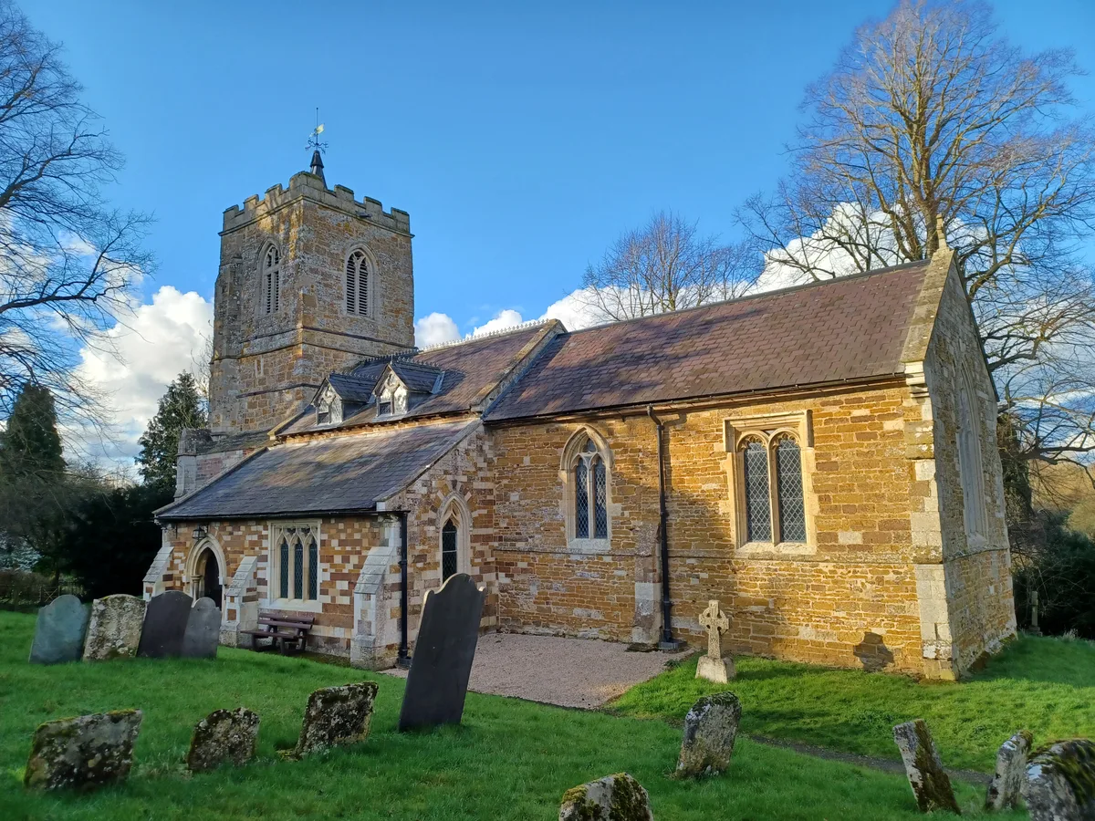
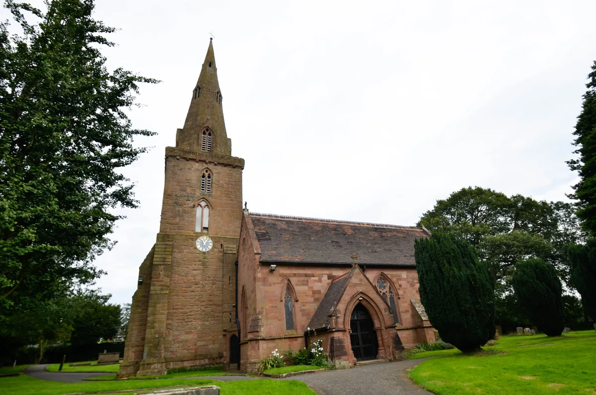
St Peter's Church, Belton-in-Rutland
St Peter's Church, Belton-in-Rutland — a church in england-west-midlands, United Kingdom.
 📷 3
📷 3Memorials & monuments · West Midlands
Belton-in-Rutland War Memorial
Belton-in-Rutland War Memorial — Grade II listed building-listed memorial in england-west-midlands, United Kingdom.
 📷 3
📷 3Historic churches · West Midlands
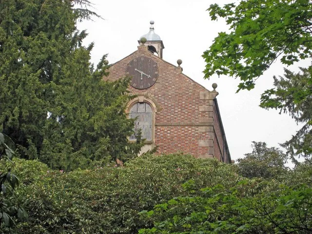
St Peter's Church, Allexton
St Peter's Church, Allexton — church in Harborough, United Kingdom.
 Flagship📷 4
Towns & cities · West Midlands
Wardley
Wardley — village and civil parish in Rutland, England, UK.
 📷 5
📷 5Historic churches · West Midlands
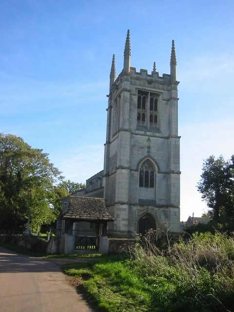
St Botolph's Church, Wardley
St Botolph's Church, Wardley — a church in england-west-midlands, United Kingdom.
More places in this region
 📷 3
📷 3Historic churches · West Midlands
All Saints Chapel, Somerford
All Saints Chapel, Somerford — church in Cheshire East, Cheshire, England, UK.
 📷 4
📷 4Historic churches · West Midlands
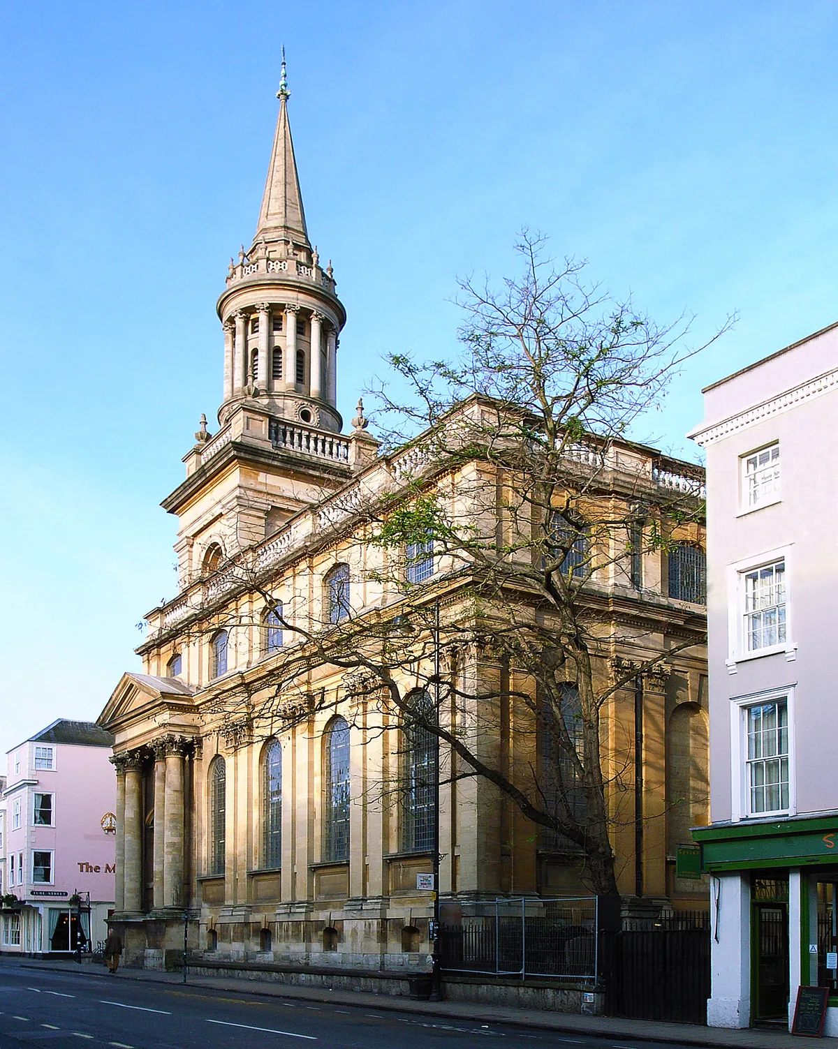
All Saints Church
All Saints Church — church building in Oxford, UK.
 📷 3
📷 3Historic churches · West Midlands
All Saints Church, Aldwincle
All Saints Church, Aldwincle — church in Aldwincle, Northamptonshire, UK.
 📷 3
📷 3Historic churches · West Midlands
All Saints Church, Allesley
All Saints Church, Allesley — Grade I listed church in Coventry, West Midlands, England, UK.
Frequently asked questions
- Where is Belton-in-Rutland?
- Belton-in-Rutland is in the West Midlands, United Kingdom (postcode LE15 9LE), in the parish of Belton-in-Rutland.
- Is Belton-in-Rutland free to visit?
- Yes, Belton-in-Rutland is free to enter.
- How do I get to Belton-in-Rutland?
- Drivers can navigate to postcode LE15 9LE. It sits within the Rutland and Stamford parliamentary constituency.