Natural landmarks · Scottish Highlands
Beinn a' Chaisteil
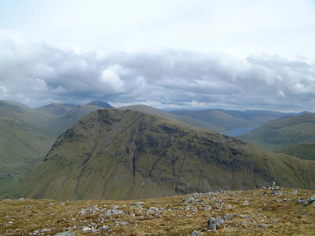
Beinn a' Chaisteil — 886m mountain on the Argyll and Bute, and Perth and Kinross border, Scotland, UK.

Wikimedia Commons contributors — see linked file page for photographer and licence licence
Plan your visit
- Typical visit
- 1 h–2 h
- Nearest railway station
- Bridge of Orchy · 5.6 km
- Free entry
- Dog-friendly
About
Beinn a' Chaisteil is a named natural landmark in the United Kingdom. Wikidata describes it as: "886m mountain on the Argyll and Bute, and Perth and Kinross border, Scotland, UK". Coordinates: 56.4910°, -4.6848°.
Photo gallery
From the Wikipedia article
Beinn a' Chaisteil is a mountain in the southern Highlands of Scotland, it is located 6.25 km north of Tyndrum on the border of Perth and Kinross and Argyll and Bute council areas. This hill is not to be confused with another Beinn a' Chaisteil, above Loch Vaich in Highland Council area.
Excerpt from Wikipedia under CC BY-SA 4.0. See the source article linked in Sources below.
Background
Description
Beinn a' Chaisteil reaches a height of 886 metres (2907 feet) making it the 39th highest Corbett and the 259th highest Marilyn in the UK. The mountain is well seen from the A82 road at Auch where its western flank is seen as huge wall standing sentinel at the entrance to the Auch Glen. The West Highland Railway travels across the base of the mountain on its western side as it loops dramatically over the Auch Glen and Glen Coralan on two viaducts. Beinn a' Chaisteil is usually climbed with the adjoining Beinn nam Fuaran to which it is joined by a col with a height of 546 metres. Strong walkers will include the mountain in the traverse of the "Auch Corbetts", an 18 km walk with almost 2000…
Sourced from Wikipedia under CC BY-SA 4.0.
- Coordinates
- 56.4910, -4.6848
- Address
- Perth and Kinross/Argyll and Bute, Scotland
- Nearest railway station
- Bridge of Orchy — 5.6 km
Sources
- wikidata: Q3776205 (CC0)
- wikipedia: Beinn a' Chaisteil (CC BY-SA 4.0)
- commons: Beinn a Chaisteil from Beinn Odhar.jpg (CC BY-SA 4.0)
Other places nearby
Loading nearby places…
Nearby
 📷 3
📷 3Mountains & hills · Scottish Highlands
Beinn a' Chaisteil
Beinn a' Chaisteil — Named summit at 886 m.
 ★ Iconic📷 4
Natural landmarks · Scottish Highlands
West Highland Way
Scotland's classic 96-mile long-distance walk — Milngavie to Fort William.
 📷 3
📷 3Natural landmarks · Scottish Highlands
Eas nam Beatach
Eas nam Beatach in Scotland Islands, United Kingdom.
 📷 3
📷 3Mountains & hills · Scottish Highlands
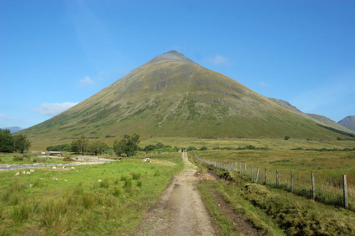
Beinn nam Fuaran
Beinn nam Fuaran — a mountain in scotland-highlands, United Kingdom.
 📷 5
📷 5Historic bridges · Scottish Highlands
Allt Kinglass bridge
Allt Kinglass bridge — category B listed building-listed bridge in scotland-highlands, United Kingdom.
 📷 5
📷 5Mountains & hills · Scottish Highlands
Beinn Dorain
Beinn Dorain — Named summit at 1076 m.
More natural landmarks in this region
 Flagship📷 3
Natural landmarks · Scottish Highlands
Dunalastair Water
Dunalastair Water — lake in Perth and Kinross, Scotland, UK, on the River Tummel.
 Flagship📷 3
Natural landmarks · Scottish Highlands
Loch Arkaig
Loch Arkaig — lake in Highland, Scotland, UK, outflows east to River Arkaig.
 Flagship📷 3
Natural landmarks · Scottish Highlands
Loch Assynt
Loch Assynt — lake in Highland, Scotland, UK, outflows to the River Inver and Loch na Garbh Uidhe.
 Flagship📷 3
Natural landmarks · Scottish Highlands
Loch Awe
Loch Awe — lake in Argyll and Bute, Scotland, UK, outflows to the River Awe.
Frequently asked questions
- Where is Beinn a' Chaisteil?
- Beinn a' Chaisteil is in the Scottish Highlands, United Kingdom.
- Is Beinn a' Chaisteil free to visit?
- Yes, Beinn a' Chaisteil is free to enter.
- How do I get to Beinn a' Chaisteil?
- The nearest railway station is Bridge of Orchy, about 5.6 km away.