Mountains & hills · East Midlands
Beacon Hill
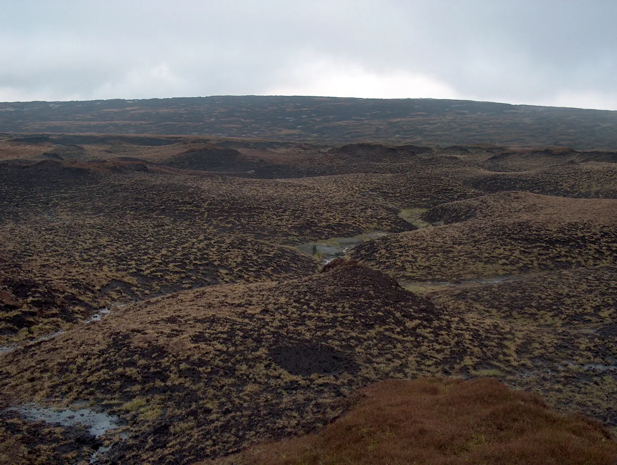
Beacon Hill — Named summit at 105 m.
Wikimedia Commons contributors — see linked file page for photographer and licence licence
.JPG)
Plan your visit
- Typical visit
- 3 h–8 h
- Best time of year
- Late spring – early autumn (May–Oct)
- Nearest railway station
- West Runton · 1.1 km
- Free entry
- Dog-friendly
About
Beacon Hill is a named summit in the United Kingdom. Wikidata describes it as: "Named summit at 105 m.". Coordinates: 52.9258°, 1.2471°.
Photo gallery
Protected designations
- Area of Outstanding Natural Beauty: Norfolk Coast
Designations sourced from Natural England open data under OGL v3.
From the Wikipedia article
Beacon Hill is the highest point in the English county of Norfolk. The hill is located 0.75 miles (1.2 km) south of the village of West Runton on the North Norfolk coast. At its summit the hill is 105 metres (344 ft) above sea level. The hill is also known as Roman Camp. The summit and surrounding woodlands are now in the care of the National Trust. A track, named Calves Well Lane, running west from Sandy Lane leads to a car park which is maintained by donations made to the National Trust collection box provide on the edge of the car park. Litter bins and benches make Beacon Hill an ideal location for picnics. There are several footpaths to follow across the area.
Excerpt from Wikipedia under CC BY-SA 4.0. See the source article linked in Sources below.
Background
Description
On the summit of Beacon Hill there is an earthwork enclosure. This area is known as Roman camp, a name which it is believed was coined around the turn of the 19th century by local horse drawn cab drivers as a means to make this place more appealing for tourists using the already existing earthworks to justify this 'assertion'. Despite its name there is no evidence of any Roman occupation on this site. The earthworks, or enclosure, was once a coastal signal station and probably of earlier beacons(s) although the exact location of this beacon(s) is not known. There have been several archeological excavations in this area but none of these have specifically investigated the earthworks at…
Sourced from Wikipedia under CC BY-SA 4.0.
- Coordinates
- 52.9258, 1.2471
- County
- Norfolk
- District
- North Norfolk
- Parish
- Aylmerton
- Postcode
- NR27 9ND
- Parliamentary constituency
- North Norfolk
- Nearest railway station
- West Runton — 1.1 km
Sources
- osm: n3428802150 (ODbL)
- wikipedia: Beacon Hill, Norfolk (CC BY-SA 4.0)
- commons: 6th April 2008, Beacon Hill, Roman Camp (4).JPG (CC BY-SA 4.0)
Other places nearby
Loading nearby places…
Nearby
Caravan parks · East Midlands
Roman Camp Caravan Park
Roman Camp Caravan Park — a caravan park in england east midlands.
Campsites · East Midlands
Moorland Park
Moorland Park — a campsite in england east midlands.
Campsites · East Midlands
West Runton
West Runton — a campsite in england east midlands.
Caravan parks · East Midlands
Grove Farm
Grove Farm — a caravan park in england east midlands.
Caravan parks · East Midlands
Incleborough Fields
Incleborough Fields — a caravan park in england east midlands.
Hotels · East Midlands
The Links Hotel
The Links Hotel — a hotel in england east midlands.
More mountains in this region
 📷 3
📷 3Mountains & hills · East Midlands
Axe Edge Moor
Axe Edge Moor — Named summit at 551 m.
Mountains & hills · East Midlands
Beacon Hill
Beacon Hill — Named summit at 244.5 m.
 📷 3
📷 3Mountains & hills · East Midlands
Black Edge - Summit
Black Edge - Summit — Named summit at 506.7 m.
 📷 5
📷 5Mountains & hills · East Midlands
Bleaklow Head
Bleaklow Head — Named summit at 633 m.
Frequently asked questions
- Where is Beacon Hill?
- Beacon Hill is in Norfolk, the East Midlands, United Kingdom (postcode NR27 9ND), in the parish of Aylmerton.
- Is Beacon Hill a protected site?
- Yes — Beacon Hill is part of the Norfolk Coast National Landscape (AONB).
- Is Beacon Hill free to visit?
- Yes, Beacon Hill is free to enter.
- How do I get to Beacon Hill?
- The nearest railway station is West Runton, about 1.1 km away. Drivers can navigate to postcode NR27 9ND.