Mountains & hills · London
Cambridgeshire County Top
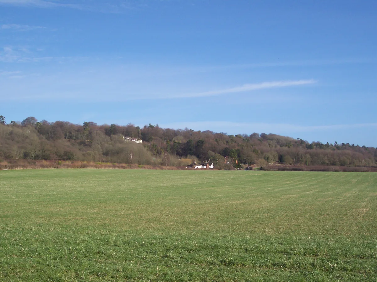
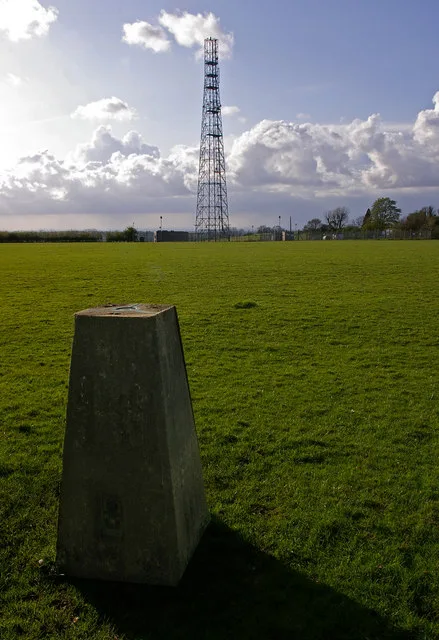
Cambridgeshire County Top — Named summit at 146 m.

Wikimedia Commons contributors — see linked file page for photographer and licence licence
Plan your visit
- Typical visit
- 3 h–8 h
- Best time of year
- Late spring – early autumn (May–Oct)
- Nearest railway station
- Royston · 7.5 km
- Free entry
- Dog-friendly
About
Cambridgeshire County Top is a named summit in the United Kingdom. Wikidata describes it as: "Named summit at 146 m.". Coordinates: 52.0299°, 0.0754°.
Photo gallery
From the Wikipedia article
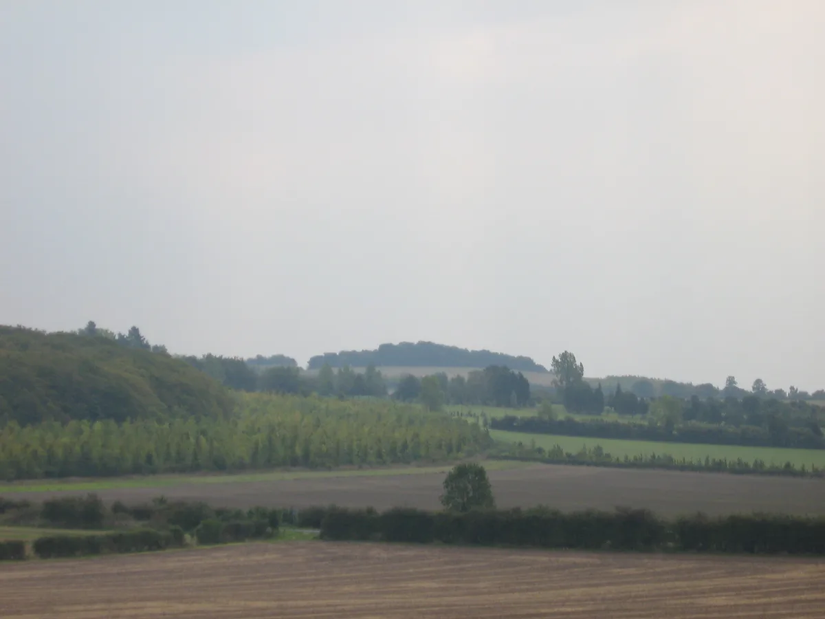
Great Chishill () is a village and former civil parish, now in the parish of Great and Little Chishill, in the South Cambridgeshire district, in the county of Cambridgeshire, England. The village is about 1 mile (1.6 km) east of the county boundary with Hertfordshire and about 4 miles (6 km) east of Royston. In 1961 the parish had a population of 293. The 2011 Census recorded Great and Little Chishill's population as 678. The parish was part of Essex until 1895, when the county boundary was revised. On 26 January 1929 the parish was renamed from "Great Chishall" to "Great Chishill". On 1 April 1968 the parish was abolished to form "Great and Little Chishill". The highest point of the current administrative county of Cambridgeshire, 146 m (479 ft) above sea level, is about 1⁄2 mile (800 m) east of St Swithun's parish church. However, as Great Chishill was historically a part of Essex (having been moved in boundary changes in 1895), the historic county top of Cambridgeshire is about 13 miles (21 km) to the east of Great Chishill close to the village of Castle Camps where a point on the disused RAF airfield reaches a height of 128 metres (420 ft) above sea level (grid reference TL 63282 41881). The highest point of Essex, Chrishall Common and the triple point of Cambridgeshire, Essex and Hertfordshire are near each other about 1.2 miles (2 km) south of Great Chishill.
Excerpt from Wikipedia under CC BY-SA 4.0. See the source article linked in Sources below.
- Coordinates
- 52.0299, 0.0754
- County
- Cambridgeshire
- District
- South Cambridgeshire
- Parish
- Great and Little Chishill
- Postcode
- SG8 8SQ
- Parliamentary constituency
- South Cambridgeshire
- Nearest railway station
- Royston — 7.5 km
- Official site
- greatchishill.org.uk
Sources
- osm: n9733114524 (ODbL)
- wikipedia: Great Chishill (CC BY-SA 4.0)
- commons: Great Chishill mill.JPG (CC BY-SA 4.0)
Other places nearby
Loading nearby places…
Nearby
 📷 5
📷 5Forests & woodlands · London
Wood Green Animal Shelter (Heydon)
Wood Green Animal Shelter (Heydon) — a other in england-london, United Kingdom.
 📷 5
📷 5Windmills · London
Great Chishill
Great Chishill is a windmill in the United Kingdom.
 📷 5
📷 5Towns & cities · London
Little Chishill
Little Chishill — village in Cambridgeshire, United Kingdom.
 📷 5
📷 5Manor houses · London
Mincingbury Manor
Mincingbury Manor — Grade II listed building-listed manor in england-london, United Kingdom.
 📷 5
📷 5Public art & sculpture · London
Chrishall Village Sign
Chrishall Village Sign — a public art in england-london, United Kingdom.
 📷 5
📷 5Memorials & monuments · London
Chrishall War Memorial
Chrishall War Memorial — a memorial in england-london, United Kingdom.
More mountains in this region
 📷 5
📷 5Mountains & hills · London
Betsom's Hill
Betsom's Hill — Named summit at 251 m.
 📷 5
📷 5Mountains & hills · London
Botley Hill
Botley Hill — Named summit at 269.6 m.
 📷 5
📷 5Mountains & hills · London
Little Trees Hill
Little Trees Hill — Named summit at 74 m.
 📷 5
📷 5Mountains & hills · London
Parliament Hill
Parliament Hill — Named summit at 93 m.
Frequently asked questions
- Where is Cambridgeshire County Top?
- Cambridgeshire County Top is in Cambridgeshire, London, United Kingdom (postcode SG8 8SQ), in the parish of Great and Little Chishill.
- Is Cambridgeshire County Top free to visit?
- Yes, Cambridgeshire County Top is free to enter.
- How do I get to Cambridgeshire County Top?
- The nearest railway station is Royston, about 7.5 km away. Drivers can navigate to postcode SG8 8SQ.