Mountains & hills · South Wales
Beacon Hill
Beacon Hill — Named summit at 306 m.
Wikimedia Commons contributors — see linked file page for photographer and licence licence
Plan your visit
- Typical visit
- 3 h–8 h
- Best time of year
- Late spring – early autumn (May–Oct)
- Nearest railway station
- Perrygrove · 7.9 km
- Free entry
- Dog-friendly
About
Beacon Hill is a named summit in the United Kingdom. Wikidata describes it as: "Named summit at 306 m.". Coordinates: 51.7449°, -2.7079°.
Photo gallery
Protected designations
- Site of Special Scientific Interest: River Wye SSSI
- Site of Special Scientific Interest: Severn Estuary SSSI
- Area of Outstanding Natural Beauty: Wye Valley
- Ramsar wetland: Severn Estuary
Designations sourced from Natural England open data under OGL v3.
From the Wikipedia article
Beacon Hill is the highest hill in eastern Monmouthshire, South Wales. It is located 0.6 miles (0.97 km) due east of the village of Trellech, and 1 mile (1.6 km) north-west of Llandogo. Its crowning point at 306m / 1006 ft above sea level is marked by an Ordnance Survey triangulation pillar. The summit, eastern slopes and uppermost western slopes are owned by Natural Resources Wales which manages the area not only for timber production but for recreation also.
Excerpt from Wikipedia under CC BY-SA 4.0. See the source article linked in Sources below.
Background
Visiting
All freehold land owned by the former Forestry Commission Wales (now succeeded by Natural Resources Wales) was dedicated as access land under the Countryside and Rights of Way Act 2000 and is thus freely available to those on foot. Numerous forest tracks cross the hill's slopes. A car park has been provided on the western side and information panels installed at the site to assist visitors to interpret the extensive views from breaks in the woodland cover.
Sourced from Wikipedia under CC BY-SA 4.0.
- Coordinates
- 51.7449, -2.7079
- District
- Monmouthshire
- Parish
- Trellech United
- Postcode
- NP25 4QB
- Parliamentary constituency
- Monmouthshire
- Nearest railway station
- Perrygrove — 7.9 km
Sources
- osm: n571623010 (ODbL)
- wikipedia: Beacon Hill, Monmouthshire (CC BY-SA 4.0)
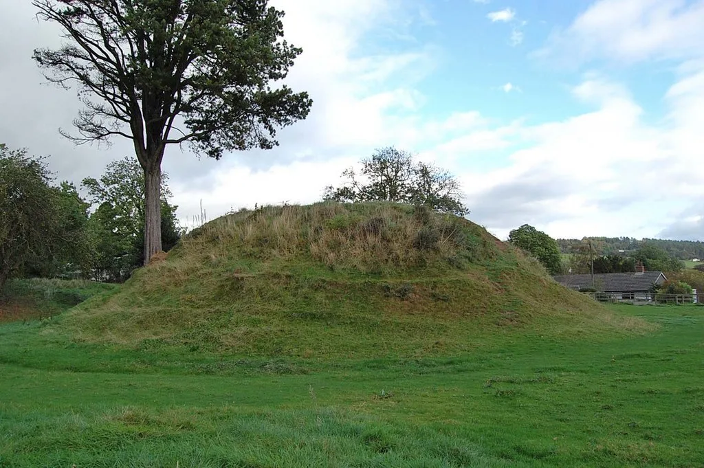
- commons: Beacon Hill picnic area - geograph.org.uk - 480796.jpg (CC BY-SA 4.0)
Other places nearby
Loading nearby places…
Nearby
Campsites · South Wales
Heather Dean
Heather Dean — a campsite in wales south.
 📷 3
📷 3Archaeological sites · South Wales
Lost City of Trellech
Lost City of Trellech — a archaeological in wales-south, United Kingdom.
 📷 5
📷 5National landscapes (AONB) · South Wales
Trellech
Trellech (occasionally spelt Trelech, Treleck or Trelleck; Welsh: Tryleg) is a village and parish in Monmouthshire, south-east Wales. Located 5 miles (8 km) south of Monmouth and 4 miles (6.4 km) nort
 📷 3
📷 3Castles · South Wales
Tump Terret Castle
Tump Terret Castle — archaeological site in Trellech, Monmouthshire, Wales, UK.
 📷 3
📷 3Archaeological sites · South Wales
Tump Terrett
Tump Terrett — a archaeological in wales-south, United Kingdom.
 📷 3
📷 3Archaeological sites · South Wales
Harold's Stones
Harold's Stones — a archaeological in wales-south, United Kingdom.
More mountains in this region
 Flagship📷 3
Mountains & hills · South Wales
Milford Haven Waterway
Milford Haven Waterway — ria, or flooded valley, in Pembrokeshire, south-west Wales, UK.
 📷 5
📷 5Mountains & hills · South Wales
Ogof Ffynnon Ddu
Ogof Ffynnon Ddu — cave in the Upper Swansea Valley in South Wales.
 📷 3
📷 3Mountains & hills · South Wales
Abereiddi Bay
Abereiddi Bay — bay in the United Kingdom.
 📷 3
📷 3Mountains & hills · South Wales
Allt Lwyd
Allt Lwyd — Named summit at 653 m.
Frequently asked questions
- Where is Beacon Hill?
- Beacon Hill is in South Wales, United Kingdom (postcode NP25 4QB), in the parish of Trellech United.
- Is Beacon Hill a protected site?
- Yes — Beacon Hill is part of the River Wye SSSI Site of Special Scientific Interest and the Severn Estuary SSSI Site of Special Scientific Interest.
- Is Beacon Hill free to visit?
- Yes, Beacon Hill is free to enter.
- How do I get to Beacon Hill?
- The nearest railway station is Perrygrove, about 7.9 km away. Drivers can navigate to postcode NP25 4QB.