Natural landmarks · North Wales
Arenig Fawr
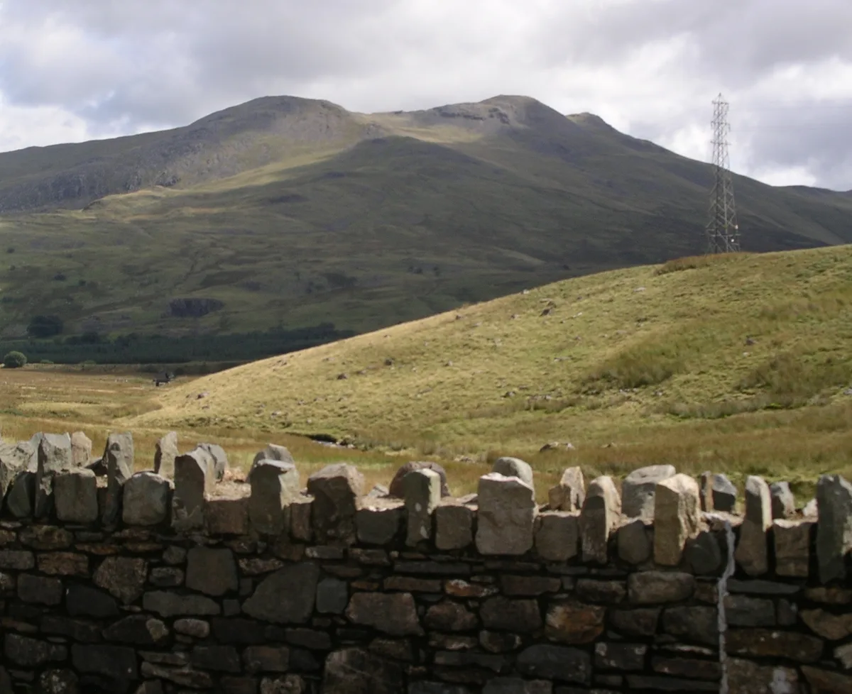
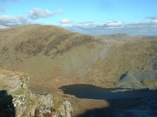
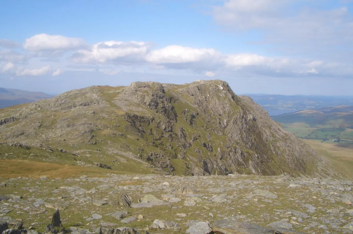
Arenig Fawr — mountain (854m) in Gwynedd, Wales.

Wikimedia Commons contributors — see linked file page for photographer and licence licence
Plan your visit
- Typical visit
- 1 h–2 h
- Nearest railway station
- Llanuwchllyn · 8.7 km
- Free entry
- Dog-friendly
About
Arenig Fawr is a named natural landmark in the United Kingdom. Wikidata describes it as: "mountain (854m) in Gwynedd, Wales". Coordinates: 52.9171°, -3.7459°.
Photo gallery
From the Wikipedia article
Arenig Fawr (Welsh for 'great high ground') is a mountain in Snowdonia, North Wales, close to Llyn Celyn reservoir, alongside the A4212 between Trawsfynydd and Bala.
Excerpt from Wikipedia under CC BY-SA 4.0. See the source article linked in Sources below.
- Coordinates
- 52.9171, -3.7459
- Address
- Gwynedd, Wales
- Nearest railway station
- Llanuwchllyn — 8.7 km
Sources
- wikidata: Q4789023 (CC0)
- wikipedia: Arenig Fawr (CC BY-SA 4.0)
- commons: Arenig Fawr w.JPG (CC BY-SA 4.0)
Other places nearby
Loading nearby places…
Nearby
 📷 3
📷 3Mountains & hills · North Wales
Arenig Fawr
Arenig Fawr — Named summit at 854 m.
 📷 3
📷 3Memorials & monuments · North Wales
Flying Fortress Crash August 1943
Flying Fortress Crash August 1943 — a memorial in wales-north, United Kingdom.
 📷 3
📷 3Mountains & hills · North Wales
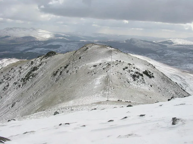
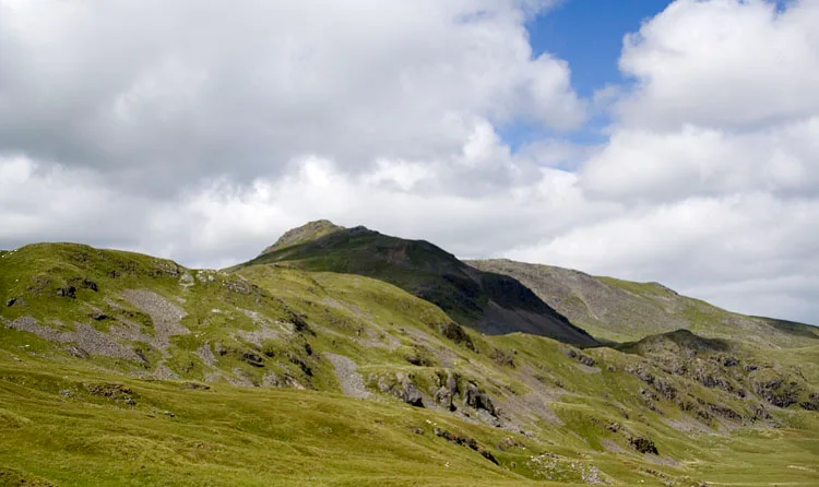
Arenig Fawr South Top
Arenig Fawr South Top — Named summit at 836 m.
 📷 3
📷 3Mountains & hills · North Wales
Moel Llechwedd
Moel Llechwedd — a mountain in wales-north, United Kingdom, 817 m.
 📷 3
📷 3Mountains & hills · North Wales
Carreg y Diocyn
Carreg y Diocyn — a mountain in wales-north, United Kingdom, 673 m.
 📷 3
📷 3Mountains & hills · North Wales
Arenig Fawr South Ridge Top
Arenig Fawr South Ridge Top — Named summit at 712 m.
More natural landmarks in this region
 Flagship📷 5
Natural landmarks · North Wales
Llyn Llydaw
Llyn Llydaw is a natural landmark in the United Kingdom.
 📷 5
📷 5Natural landmarks · North Wales
Llyn Tegid
Llyn Tegid is a natural landmark in the United Kingdom.
 📷 3
📷 3Natural landmarks · North Wales
Allt-fawr
Allt-fawr — mountain (698m) in Gwynedd, Wales.
 📷 3
📷 3Natural landmarks · North Wales
Aran Benllyn
Aran Benllyn — mountain (885m) in Gwynedd.
Frequently asked questions
- Where is Arenig Fawr?
- Arenig Fawr is in North Wales, in the United Kingdom — coordinates 52.9171°, -3.7459°. The nearest railway station is Llanuwchllyn, around 8.7 km away.
- Is Arenig Fawr free to visit?
- Yes — admission to Arenig Fawr is free.