Historic churches · London
Addington, Kent
Addington is a village in the English county of Kent. It is close to the M20 motorway, and between the villages of Wrotham Heath and West Malling. In the Domesday Book of 1086 it is called Eddintune.

David Anstiss — CC BY-SA 2.0 via Wikimedia Commons licence
Plan your visit
- Typical visit
- 30 min–1 h
- Free entry
About
Addington is a village in the English county of Kent. It is close to the M20 motorway, and between the villages of Wrotham Heath and West Malling. In the Domesday Book of 1086 it is called Eddintune. The meaning of the village's name is "Æddi's (or Eadda's) estate". The village is notable for the long barrows, Neolithic chamber tombs. Its parish covers a little under 700 acres (2.8 km2), containing 291 houses. Addington Brook runs through the parish.
Photo gallery
From the Wikipedia article
Addington is a village in the English county of Kent. It is close to the M20 motorway, and between the villages of Wrotham Heath and West Malling. In the Domesday Book of 1086 it is called Eddintune. The meaning of the village's name is "Æddi's (or Eadda's) estate". The village is notable for the long barrows, Neolithic chamber tombs. Its parish covers a little under 700 acres (2.8 km2), containing 291 houses. Addington Brook runs through the parish.
Excerpt from Wikipedia under CC BY-SA 4.0. See the source article linked in Sources below.
Background
History
Addington has been continuously inhabited for over 5,000 years. Many Neolithic artifacts have been extracted from the village, but much archaeological evidence has been lost to mechanical digging. Some sites were excavated during the building of the motorway. It had two mills at the time of the Domesday survey. There was a watermill powered by the Addington Brook (TQ 656 587 ), demolished in the nineteenth century; the site now lies within West Malling Golf Course. The remains of an old structure named the Addington Place were visible until the early 21st century, now beneath a golf course and stables. During the Black Death, Addington was severely affected, and four of the church rectors…
Description
The village has one pub, the Angel. There are rumours of a tunnel running from the pub's basement to the church, located 750 m away. Addington does not have a school, so children attend schools in nearby villages. Addington is divided by the M20 and M26 motorways. There are sandpits and quarries on both sides of the motorways, which are now almost entirely worked out. The village is home to Addington Village Cricket Club, which has two Saturday teams and a 1st XI that plays in Division 2 of the Kent League (1st XI). The parish church is dedicated to St. Margaret, and dates back to 1403. It is part of a combined benefice with All Saints Birling, St. Martin Ryarsh and St. Peter & St. Paul…
Sourced from Wikipedia under CC BY-SA 4.0.
- Coordinates
- 51.2980, 0.3520
- County
- Kent
- District
- Tonbridge and Malling
- Parish
- Addington
- Postcode
- ME19 5BT
- Parliamentary constituency
- Tonbridge
Sources
- wikipedia: Addington, Kent (CC BY-SA 4.0)
Other places nearby
Loading nearby places…
Nearby
Campsites · London
Gate House Wood Touring Park
Gate House Wood Touring Park — a campsite in england london.
 📷 5
📷 5Public art & sculpture · London
Richard Hochfeld
Richard Hochfeld — a public art in england-london, United Kingdom.
 📷 5
📷 5Historic houses · London
Nepicar House
Nepicar House — house in Platt, Tonbridge and Malling, England, UK.
 📷 5
📷 5Forts · London
Obelisk 20 Yards To East Of Addington Church
Obelisk 20 Yards To East Of Addington Church — a martello broad in england-london, United Kingdom.
 📷 5
📷 5Burial mounds & barrows · London
Chestnuts Long Barrow
Chestnuts Long Barrow — a burial mound in england-london, United Kingdom.
 📷 5
📷 5Burial mounds & barrows · London
Addington Long Barrow
Addington Long Barrow — a burial mound in england-london, United Kingdom.
More places in this region
 📷 5
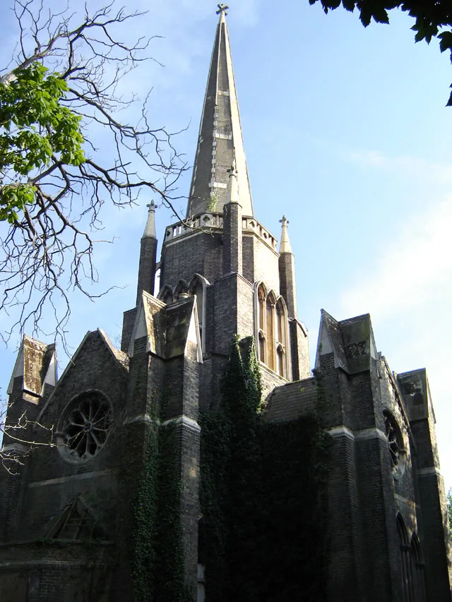
📷 5Historic churches · London
Abney Park Chapel
Abney Park Chapel — grade II listed church in the London Borough of Hackney, England,UK.
 📷 5
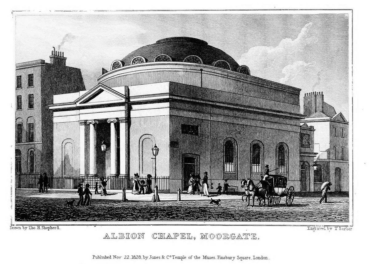
📷 5Historic churches · London
Albion Chapel
Albion Chapel — church in London, UK.
 📷 5
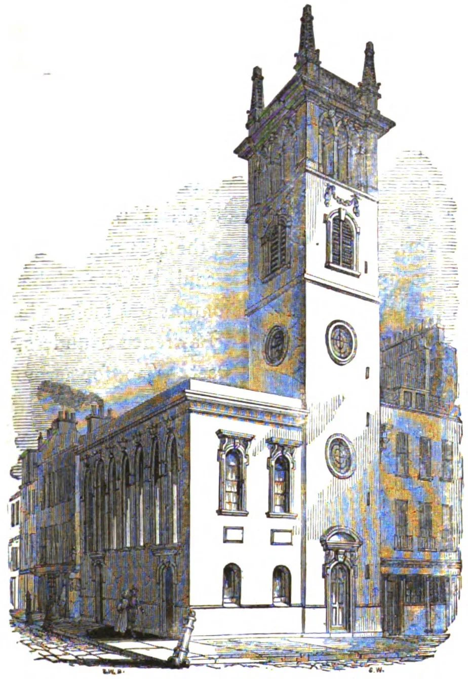
📷 5Historic churches · London
All Hallows Bread Street
All Hallows Bread Street — church in City of London, UK.
 📷 5
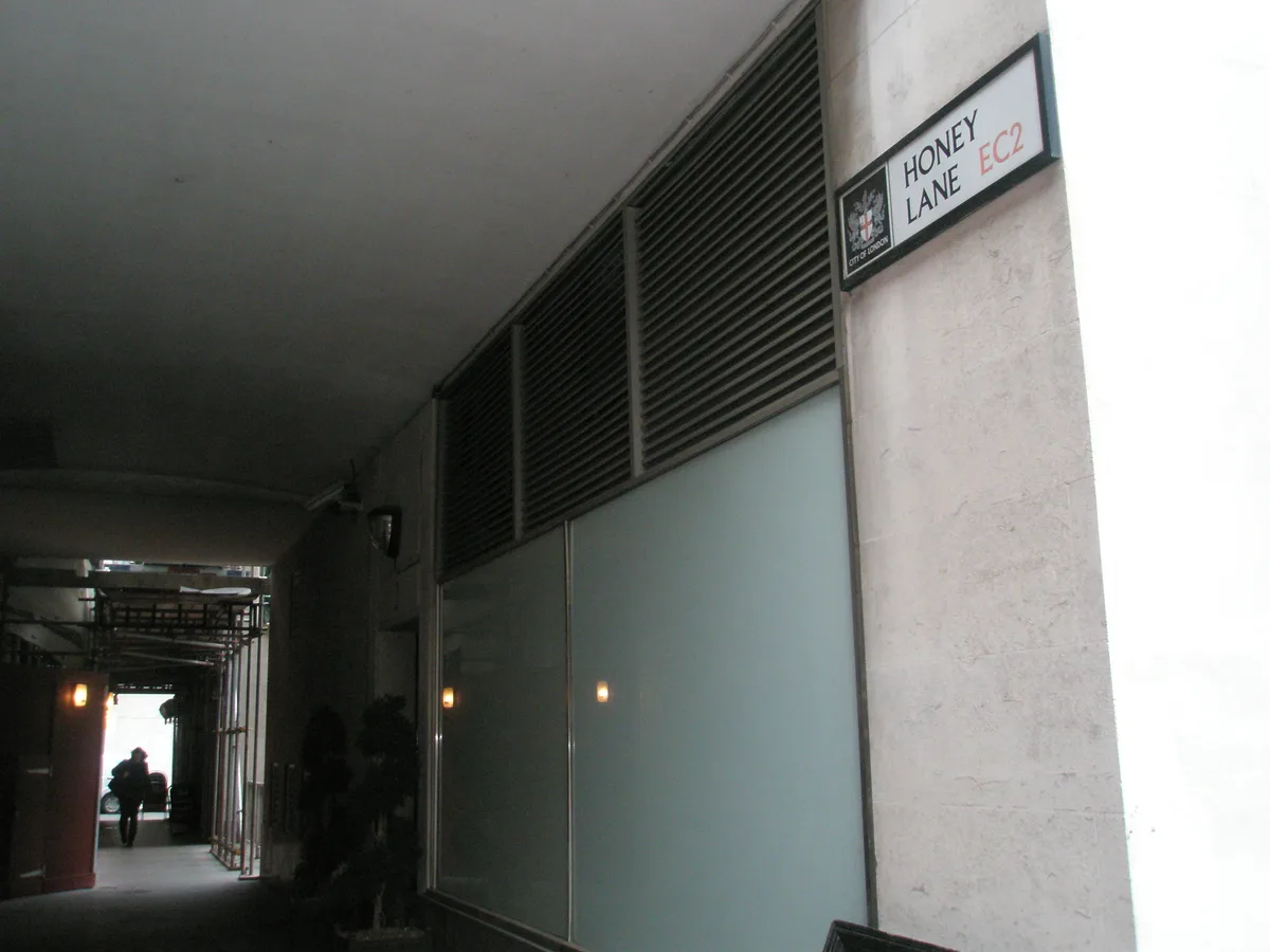
📷 5Historic churches · London
All Hallows Honey Lane
All Hallows Honey Lane — church in City of London, UK.
Frequently asked questions
- Where is Addington, Kent?
- Addington, Kent is in Kent, London, United Kingdom (postcode ME19 5BT), in the parish of Addington.
- Is Addington, Kent free to visit?
- Yes, Addington, Kent is free to enter.
- How do I get to Addington, Kent?
- Drivers can navigate to postcode ME19 5BT. It sits within the Tonbridge parliamentary constituency.