Category
National parks
The fifteen designated landscapes of England, Scotland and Wales. The big walks, the big views.
15 places in this category.
National parks by region
- 2 national parks in South Wales
- 2 national parks in Scottish Highlands
- 2 national parks in South West England
- 2 national parks in South East England
- 2 national parks in East Midlands
- 1 national parks in North Wales
- 1 national parks in North East England
- 1 national parks in Yorkshire & the Humber
- 1 national parks in Scottish Lowlands
- 1 national parks in North West England
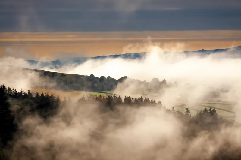
Highlights
National parks · South Wales
Bannau Brycheiniog (Brecon Beacons)
Bannau Brycheiniog (Brecon Beacons) is a National park in Wales.
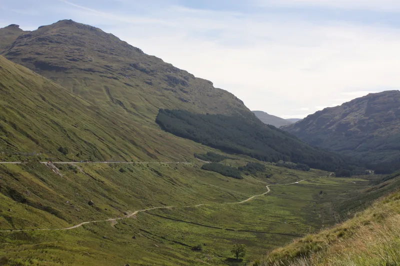
National parks · Scottish Highlands
Cairngorms National Park
Cairngorms National Park is a National park in Scotland.
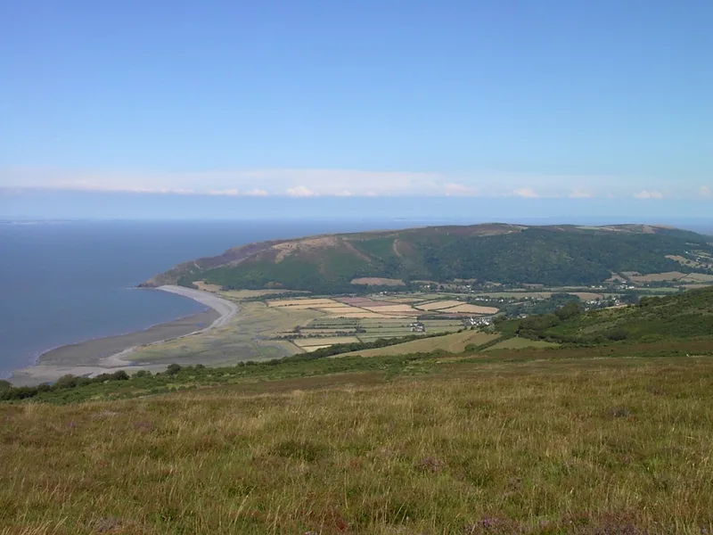
National parks · South West England
Dartmoor
Dartmoor is a National park in South West England.
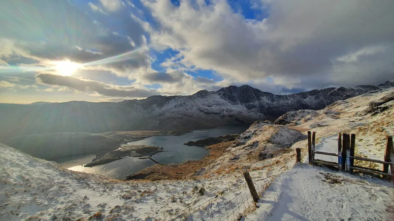
National parks · North Wales
Eryri (Snowdonia)
Eryri (Snowdonia) is a Mountainous region and national park in North Wales.
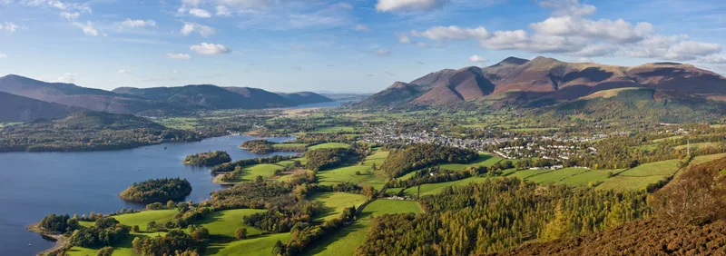
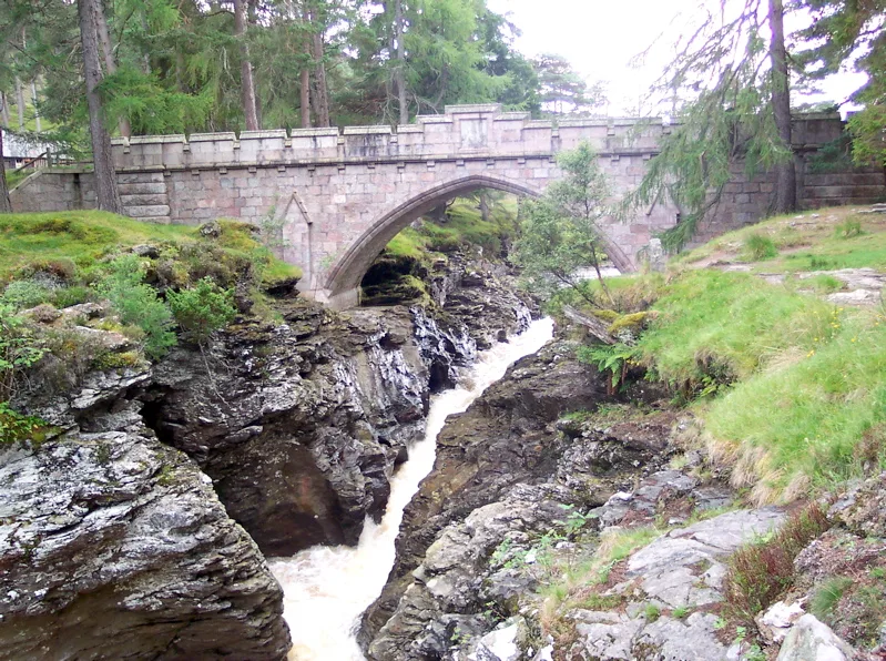
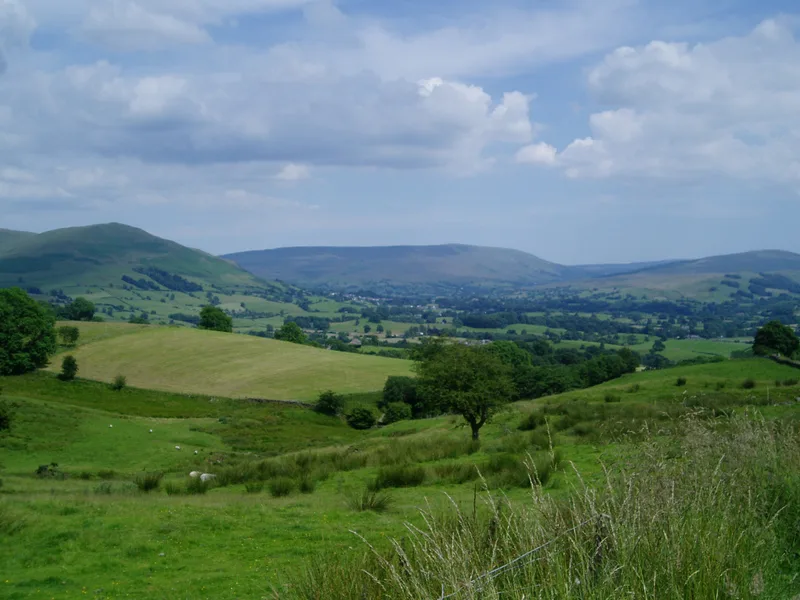
National parks · North East England
Lake District
Lake District is a Mountainous region and national park in North West England.
All national parks
National parks · Scottish Highlands
Loch Lomond and The Trossachs National Park
Loch Lomond and The Trossachs National Park is a National park in Scotland.
National parks · Yorkshire & the Humber
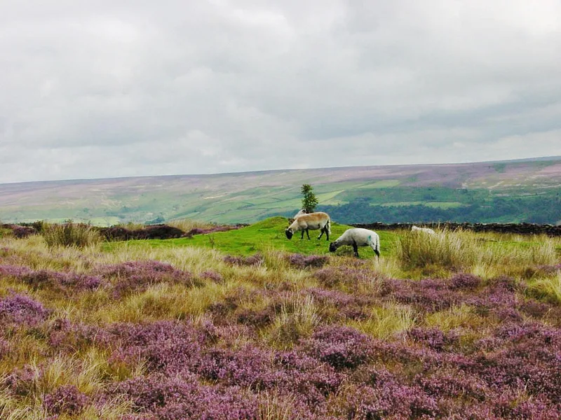
North York Moors
North York Moors is a Upland area in North Yorkshire, England.
National parks · Scottish Lowlands
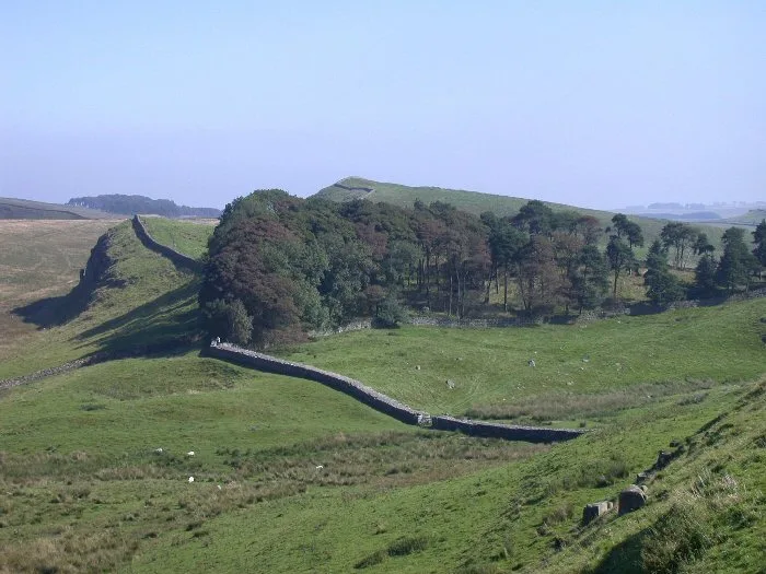
Northumberland National Park
Northumberland National Park is a National park in Northumberland, England.
National parks · East Midlands
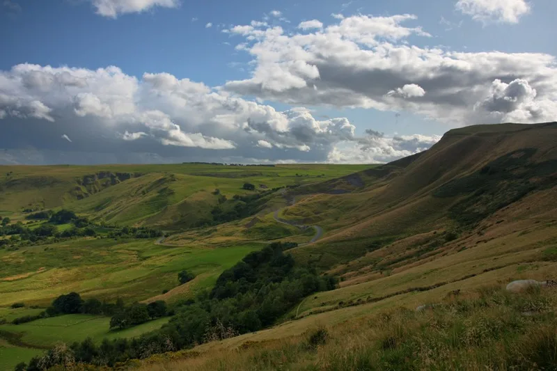
Peak District
Peak District is a Upland area in England.
National parks · South Wales
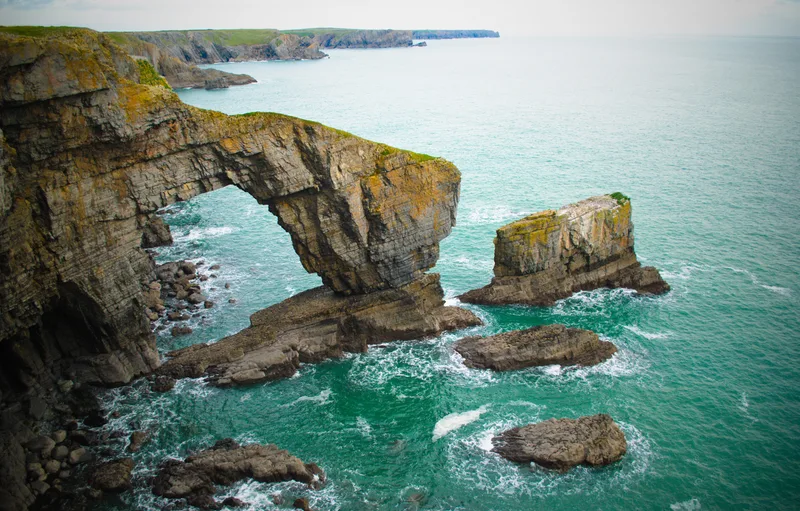
Pembrokeshire Coast National Park
Pembrokeshire Coast National Park is a National park in Wales.
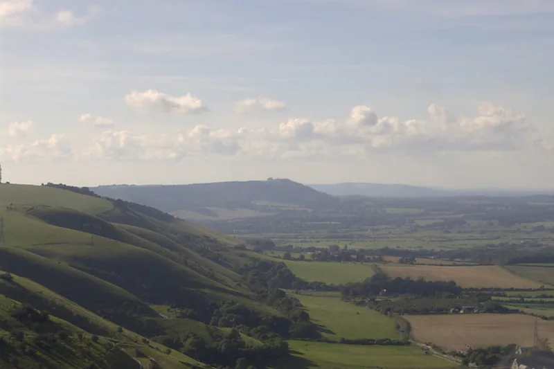
National parks · South East England
South Downs National Park
South Downs National Park is a National park in South East England.
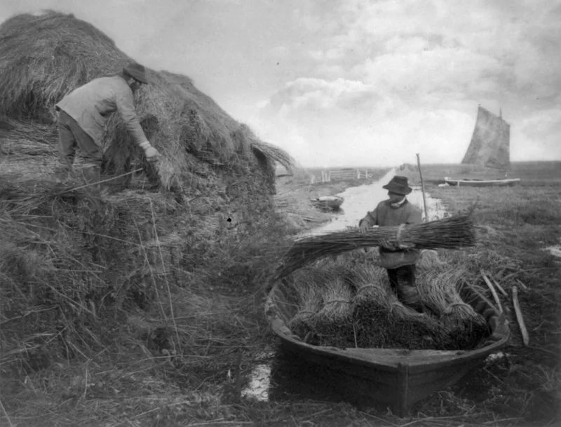
National parks · East Midlands
The Broads
The Broads is a Network of rivers and lakes in East Anglia.
National parks · North West England
Yorkshire Dales
Yorkshire Dales is a Upland area of the Pennines in Northern England.
Browse national parks by region
Frequently asked questions
- How many national parks are there in the UK?
- There are 15 designated national parks: 10 in England, 3 in Wales, and 2 in Scotland. Northern Ireland has no national parks but does have several Areas of Outstanding Natural Beauty.
- Which is the largest UK national park?
- The Cairngorms National Park in Scotland is the largest at 4,528 km² — bigger than every English national park combined.
- Are the national parks free?
- All UK national parks are free to enter and walk in — the right to roam and public footpath networks mean there are no entry fees. Car parks and visitor centres often charge.
- Are these places free to visit?
- Many places in the guide are free to enter — almost every national museum, every public park and garden, every parish church and cathedral. Castles, historic houses and theme parks usually charge admission; National Trust and English Heritage members visit those properties free.
- Where does the data come from?
- Every entry is built from open data: OpenStreetMap (locations, tags, opening hours), Wikipedia (descriptions), Wikidata (structured facts and operator information), Wikimedia Commons (images), ONS open data (population). The site never makes runtime API calls — everything is fetched at build time and committed.
- How often is this updated?
- A weekly automated job re-fetches the upstream sources and rebuilds the site. Manual editorial corrections are applied as overlays on top of the open data.