National parks · Scottish Highlands
Loch Lomond and The Trossachs National Park
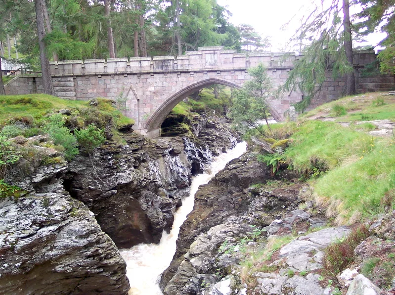
Loch Lomond and The Trossachs National Park is a National park in Scotland.

Photo by Postdlf (Wikimedia Commons, CC BY-SA 3.0) licence
Plan your visit
- Typical visit
- 4 h–8 h
- Best time of year
- Spring – autumn (Apr–Oct)
- Nearest railway station
- Arrochar and Tarbet · 8.4 km
- Free entry
- Family-friendly
- Dog-friendly
- Limited wheelchair access
About
Loch Lomond and The Trossachs National Park is a national park in the United Kingdom. It covers approximately 1865 km². Designated in 2002. According to Wikipedia: "Loch Lomond and The Trossachs National Park is a national park in Scotland centred on Loch Lomond and the hills and glens of the Trossachs, along with several other ranges of hills.". It is one of fifteen designated national parks across England, Scotland, and Wales, protected for its landscape and recreation value.
Photo gallery
From the Wikipedia article
Loch Lomond and The Trossachs National Park (Scottish Gaelic: Pàirc Nàiseanta Loch Laomainn is nan Tròisichean) is a national park in Scotland centred on Loch Lomond and the hills and glens of the Trossachs, along with several other ranges of hills. It was the first of the two national parks established by the Scottish Parliament in 2002, the second being the Cairngorms National Park. The park extends to cover much of the western part of the southern highlands, lying to the north of the Glasgow conurbation, and contains many mountains and lochs. It is the fourth-largest national park in the British Isles, with a total area of 1,865 km2 (720 sq mi) and a boundary of some 350 km (220 mi) in length. It features 21 Munros (including Ben Lomond, Ben Lui, Beinn Challuim, Ben More and two peaks called Ben Vorlich) and 20 Corbetts. The park straddles the Highland Boundary Fault, which divides it into two distinct regions - lowland and highland - that differ in underlying geology, soil types and topography. The change in rock type can most clearly be seen at Loch Lomond itself, as the fault runs across the islands of Inchmurrin, Creinch, Torrinch and Inchcailloch and over the ridge of Conic Hill. To the south lie green fields and cultivated land; to the north, mountains. The Loch Lomond and The Trossachs National Park lies close to Scotland's heavily populated Central Belt, and the area has long been popular with visitors. Principal attractions are viewing scenery and wildlife, walking, climbing, water sports, and other outdoor activities. In 2017, there were 2.9 million visits to the park, of which 2.1 million were day visits and 783,000 were made by visitors staying overnight within the park.
Excerpt from Wikipedia under CC BY-SA 4.0. See the source article linked in Sources below.
- Coordinates
- 56.2500, -4.6167
- District
- Stirling
- Postcode
- FK8 3TX
- Parliamentary constituency
- Stirling and Strathallan
- Established
- 2002
- Nearest railway station
- Arrochar and Tarbet — 8.4 km
- Official site
- www.lochlomond-trossachs.org
Sources
- wikidata: Q116661 (CC0)
- wikipedia: Loch Lomond and The Trossachs National Park (CC BY-SA 4.0)
- commons: Argyll Forest Park 008.jpg (CC BY-SA 3.0)
Featured in these 2 guides
Other places nearby
Loading nearby places…
Nearby
 📷 3
📷 3Reservoirs & lochs · Scottish Highlands
Loch Arklet
Loch Arklet — reservoir in Stirling, Scotland, UK, outflows west via Arklet Water to Loch Ness, and east via a tunnel to Loch Katrine.
 📷 5
📷 5Historic bridges · Scottish Highlands
Loch Arklet Dam Bridge
Loch Arklet Dam Bridge — category A listed building-listed bridge in scotland-highlands, United Kingdom.
 📷 3
📷 3Mountains & hills · Scottish Highlands
Maol Mòr
Maol Mòr — a mountain in scotland-highlands, United Kingdom, 693 m.
 📷 3
📷 3Mountains & hills · Scottish Highlands
Stob an Fhainne
Stob an Fhainne — a mountain in scotland-highlands, United Kingdom.
Hotels · Scottish Highlands
Inversnaid Bunkhouse
Inversnaid Bunkhouse — a hotel in scotland highlands.
 📷 3
📷 3Viewpoints · Scottish Highlands
Loch Lomond View
Loch Lomond View is a viewpoint in the United Kingdom.
More national parks in this region
 Flagship📷 5
National parks · Scottish Highlands
Cairngorms National Park
Cairngorms National Park is a National park in Scotland.
 📷 5
📷 5National parks · Scottish Highlands
Whistlefield
Whistlefield in Scotland Islands, United Kingdom.
 📷 4
📷 4National parks · Scottish Highlands
Coylet
Coylet in Scotland Islands, United Kingdom.
 📷 3
📷 3National parks · Scottish Highlands
Rashfield
Rashfield in Scotland Islands, United Kingdom.
Frequently asked questions
- Where is Loch Lomond and The Trossachs National Park?
- Loch Lomond and The Trossachs National Park is in the Scottish Highlands, United Kingdom (postcode FK8 3TX).
- When was Loch Lomond and The Trossachs National Park built?
- Built or established in 2002.
- Who owns Loch Lomond and The Trossachs National Park?
- Loch Lomond and The Trossachs National Park is owned by National park authority.
- Is Loch Lomond and The Trossachs National Park free to visit?
- Yes, Loch Lomond and The Trossachs National Park is free to enter.
- How do I get to Loch Lomond and The Trossachs National Park?
- Drivers can navigate to postcode FK8 3TX. It sits within the Stirling and Strathallan parliamentary constituency.