Caravan parks · Yorkshire & the Humber
Yorkshire Wolds Way Caravan & Camping
Yorkshire Wolds Way Caravan & Camping — a caravan park in england yorkshire.
Plan your visit
- Typical visit
- 1 h–2 h
About
Yorkshire Wolds Way Caravan & Camping is a caravan park located in england yorkshire. Address: West Knapton, YO17 8JE. Caravan park listed with verified location and OSM metadata. Touring pitches, static availability and seasonal opening vary — confirm directly with the park.
- Coordinates
- 54.1579, -0.6255
- Postcode
- YO17 8JE
Sources
- osm: w176758154 (ODbL)
Other places nearby
Loading nearby places…
Nearby
 📷 3
📷 3Historic churches · Yorkshire & the Humber
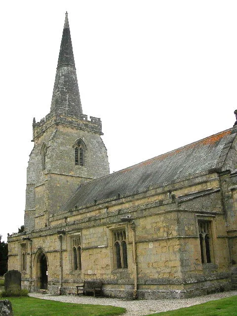
St Peter's Church, Wintringham
St Peter's Church, Wintringham — church in Ryedale, UK.
 📷 3
📷 3Natural landmarks · Yorkshire & the Humber
Wolds Way Lavender
Wolds Way Lavender — a other in england-yorkshire, United Kingdom.
 📷 3
📷 3Historic bridges · Yorkshire & the Humber
Scampston Bridge
Scampston Bridge is a historic bridge in the United Kingdom.
 📷 5
📷 5Archaeological sites · Yorkshire & the Humber
supposed camp
supposed camp — a archaeological in england-yorkshire, United Kingdom.
 📷 3
📷 3Historic bridges · Yorkshire & the Humber
Palladian Bridge
Palladian Bridge is a historic bridge in the United Kingdom.
 📷 5
📷 5Historic churches · Yorkshire & the Humber
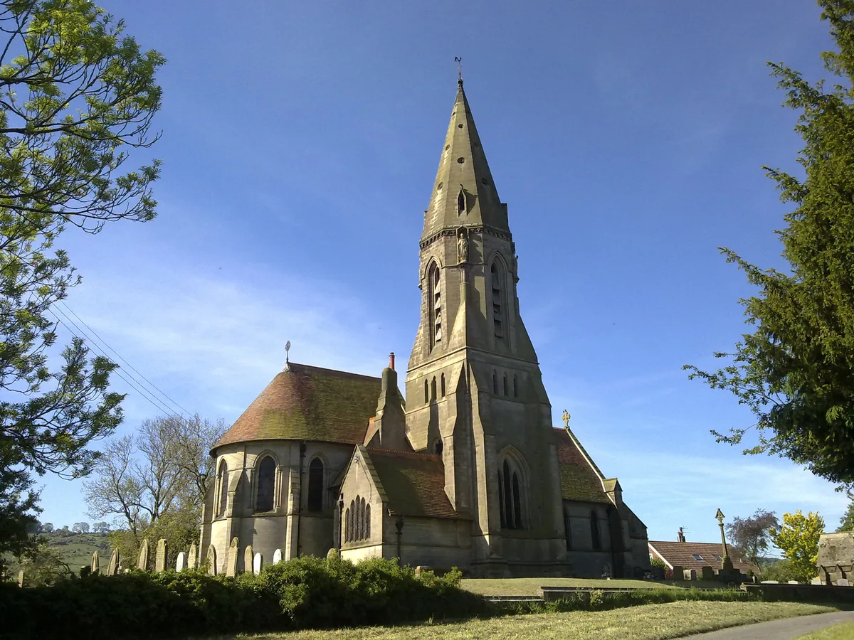
St Andrew's Church
St Andrew's Church — church in East Heslerton, North Yorkshire, England, UK.
More places in this region
Caravan parks · Yorkshire & the Humber
Hen Flatts Farm
Hen Flatts Farm — a caravan park in england yorkshire.
Caravan parks · Yorkshire & the Humber
Silver Birch Holiday Home Park
Silver Birch Holiday Home Park — a caravan park in england yorkshire.
Caravan parks · Yorkshire & the Humber
Scalm Park
Scalm Park — a caravan park in england yorkshire.
Caravan parks · Yorkshire & the Humber
Heathfield Farm
Heathfield Farm — a caravan park in england yorkshire.
Frequently asked questions
- Where is Yorkshire Wolds Way Caravan & Camping?
- Yorkshire Wolds Way Caravan & Camping is in Yorkshire & the Humber, in the United Kingdom — coordinates 54.1579°, -0.6255°.