Mountains & hills · Yorkshire & the Humber
Yorkshire Bridge
Yorkshire Bridge is a small hamlet at grid reference SK200850 near the Ladybower Reservoir dam in the English county of Derbyshire. Administratively the area forms part of the civil parish of Bamford

Wayland Smith — CC BY-SA 2.0 via Wikimedia Commons licence
Plan your visit
- Typical visit
- 3 h–8 h
- Best time of year
- Late spring – early autumn (May–Oct)
- Free entry
- Dog-friendly
About
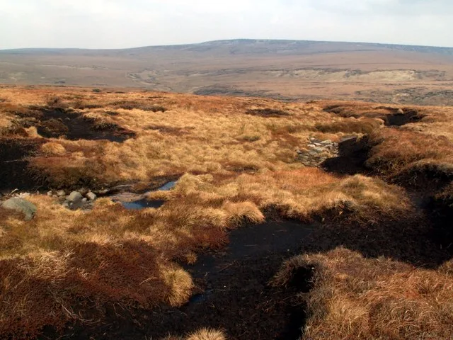
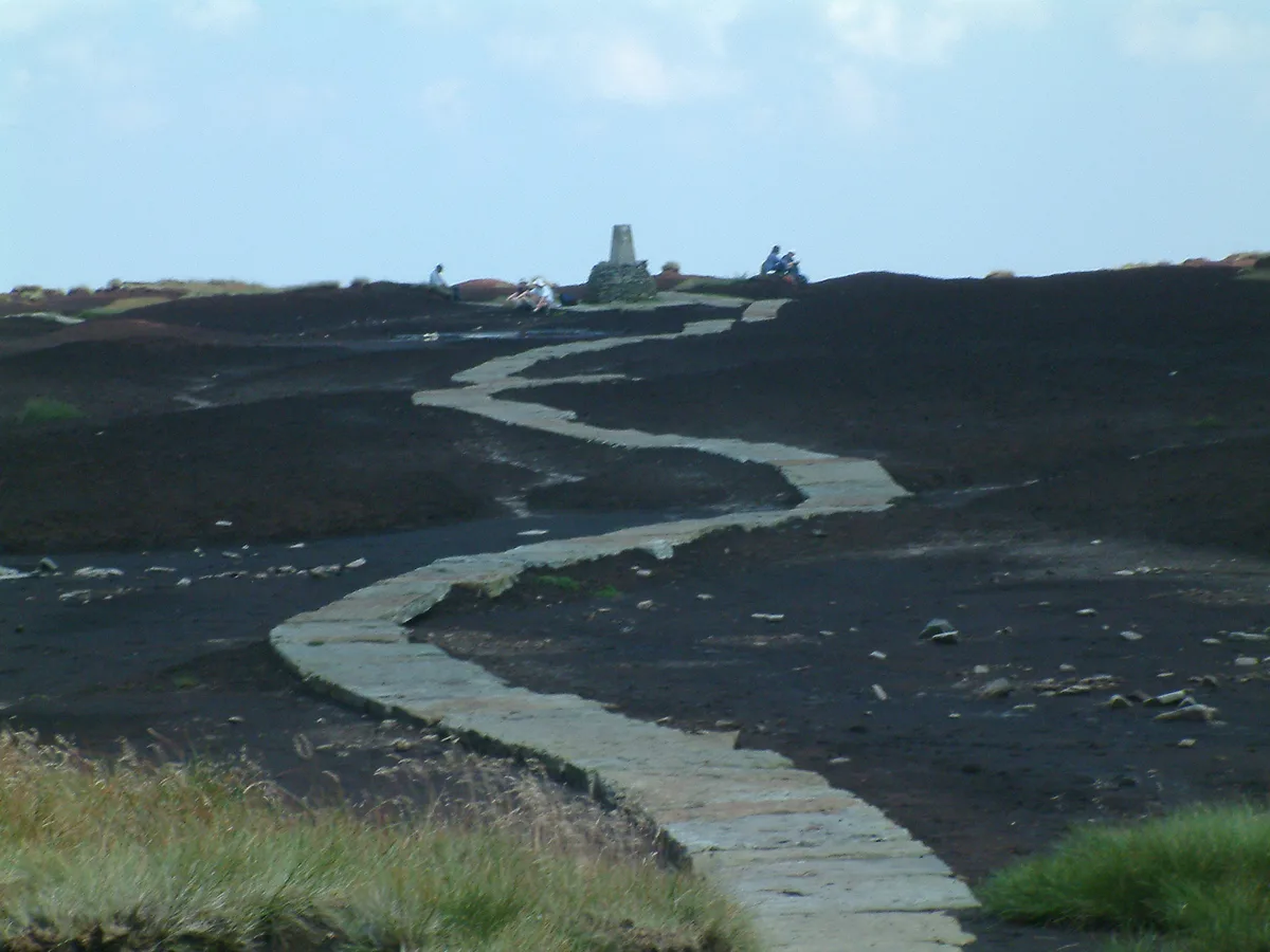
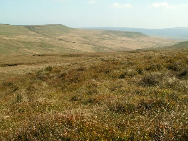
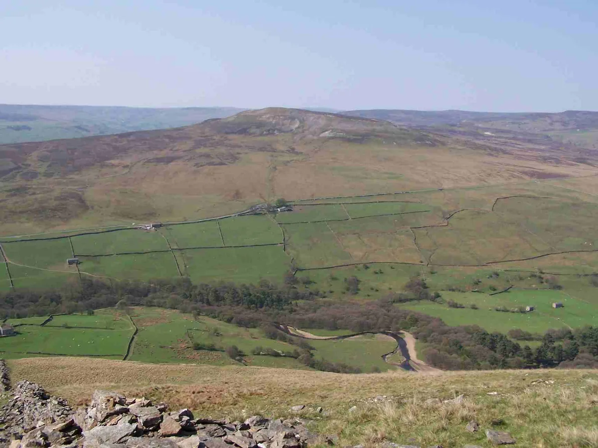
Yorkshire Bridge is a small hamlet at grid reference SK200850 near the Ladybower Reservoir dam in the English county of Derbyshire. Administratively the area forms part of the civil parish of Bamford and the district of High Peak. The people who built the Ladybower Dam wall lived in the houses at Yorkshire Bridge. The settlement is named after a packhorse bridge, which crosses the River Derwent to the south of the dam of the Ladybower Reservoir from which the river has emerged and north of the village of Thornhill. It has also given its name to a public house on the nearby A6013 road that is popular with walkers. The Derwent Valley Heritage Way has its northern terminus in the woods overlooking the reservoir.
Photo gallery
From the Wikipedia article
Yorkshire Bridge is a small hamlet at grid reference SK200850 near the Ladybower Reservoir dam in the English county of Derbyshire. Administratively the area forms part of the civil parish of Bamford and the district of High Peak. The people who built the Ladybower Dam wall lived in the houses at Yorkshire Bridge. The settlement is named after a packhorse bridge, which crosses the River Derwent to the south of the dam of the Ladybower Reservoir from which the river has emerged and north of the village of Thornhill. It has also given its name to a public house on the nearby A6013 road that is popular with walkers. The Derwent Valley Heritage Way has its northern terminus in the woods overlooking the reservoir.
Excerpt from Wikipedia under CC BY-SA 4.0. See the source article linked in Sources below.
- Coordinates
- 53.3610, -1.7040
- County
- Derbyshire
- District
- High Peak
- Parish
- Bamford
- Postcode
- S33 0BP
- Parliamentary constituency
- High Peak
Sources
- wikipedia: Yorkshire Bridge (CC BY-SA 4.0)
Other places nearby
Loading nearby places…
Nearby
 📷 4
📷 4Memorials & monuments · East Midlands
Derwent Valley Water Board
Derwent Valley Water Board — a memorial in england-east-midlands, United Kingdom.
 📷 3
📷 3Public art & sculpture · East Midlands
Pine Marten
Pine Marten — a public art in england-east-midlands, United Kingdom.
 📷 5
📷 5Historic bridges · Yorkshire & the Humber
Bamford Edge
Bamford Edge is an overhang of gritstone rock that sticks out north of the village of Bamford, Hope Valley, in the English county of Derbyshire. The first ascent of "Smoked Salmon", which is graded as
 📷 4
📷 4Public art & sculpture · East Midlands
Osprey
Osprey — a public art in england-east-midlands, United Kingdom.
 📷 4
📷 4Viewpoints · East Midlands
Great Tor
Great Tor — Named viewpoint at 400 m elevation.
Climbing & bouldering crags · East Midlands
Bamford Edge
Bamford Edge — a climbing crag in england east midlands.
More mountains in this region
 📷 3
📷 3Mountains & hills · Yorkshire & the Humber
Black Chew Head
Black Chew Head — Named summit at 542 m.
 📷 3
📷 3Mountains & hills · Yorkshire & the Humber
Black Hill
Black Hill — Named summit at 582 m.
 📷 3
📷 3Mountains & hills · Yorkshire & the Humber
Britland Edge Hill
Britland Edge Hill — Named summit at 523 m.
 📷 3
📷 3Mountains & hills · Yorkshire & the Humber
Calver Hill
Calver Hill — Named summit at 493 m.
Frequently asked questions
- Where is Yorkshire Bridge?
- Yorkshire Bridge is in Derbyshire, Yorkshire, United Kingdom (postcode S33 0BP), in the parish of Bamford.
- Is Yorkshire Bridge free to visit?
- Yes, Yorkshire Bridge is free to enter.
- How do I get to Yorkshire Bridge?
- Drivers can navigate to postcode S33 0BP. It sits within the High Peak parliamentary constituency.