Mountains & hills · North West England
Yewbarrow
Yewbarrow — Named summit at 628.7 m.

Wikimedia Commons contributors — see linked file page for photographer and licence licence
Plan your visit
- Typical visit
- 3 h–8 h
- Best time of year
- Late spring – early autumn (May–Oct)
- Nearest railway station
- Dalegarth · 7.7 km
- Free entry
- Dog-friendly
About
Yewbarrow is a named summit in the United Kingdom. Wikidata describes it as: "Named summit at 628.7 m.". Coordinates: 54.4649°, -3.2768°.
Photo gallery
From the Wikipedia article
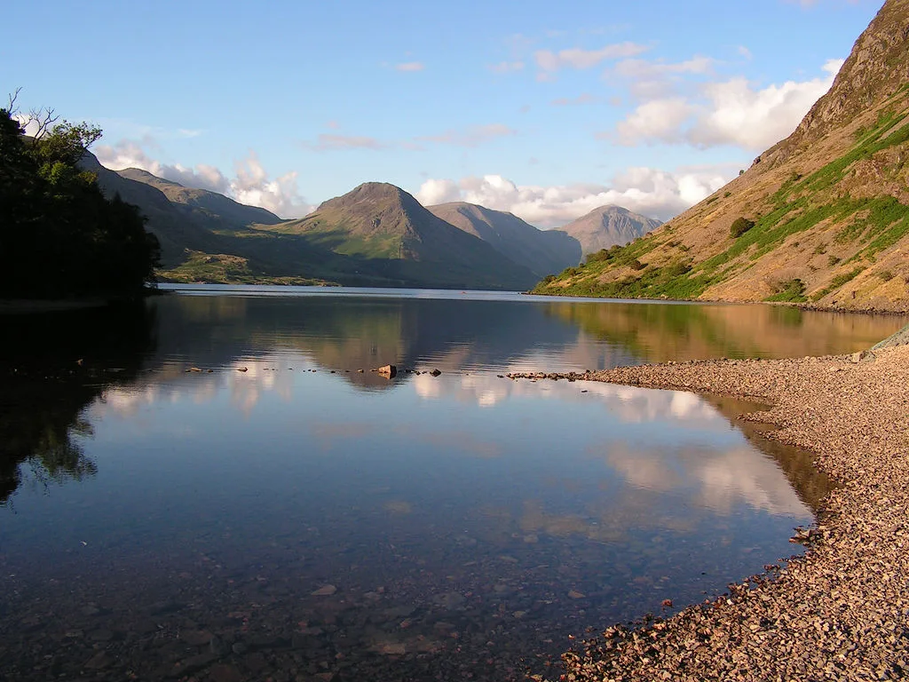
Yewbarrow is a fell, in the English Lake District, which lies immediately north of the head of Wast Water. It is 628 metres (2,060 feet) high and in shape resembles the upturned hull of a boat or a barrow. Yewbarrow is on the left in the classic view of Great Gable and Wast Water. The top of Stirrup Crag forms a second summit 616 metres (2,021 feet) high, one-half mile (0.80 km) north of the main summit. The Hewitt and Nuttall lists classify the Yewbarrow North Top as a separate summit. The name is derived from the past prevalence of yew trees on the fell and its "barrow" shape.
Excerpt from Wikipedia under CC BY-SA 4.0. See the source article linked in Sources below.
- Coordinates
- 54.4649, -3.2768
- District
- Cumberland
- Parish
- Wasdale
- Postcode
- CA20 1EX
- Parliamentary constituency
- Whitehaven and Workington
- Nearest railway station
- Dalegarth — 7.7 km
Sources
- osm: n29961854 (ODbL)
- wikipedia: Yewbarrow (CC BY-SA 4.0)
- commons: Yewbarrow - geograph.org.uk - 1874.jpg (CC BY-SA 4.0)
Other places nearby
Loading nearby places…
Nearby
Campsites · North West England
Wasdale Campsite
Wasdale Campsite — a campsite in england north west.
Campsites · North West England
Wasdale Head Campsite
Wasdale Head Campsite — a campsite in england north west.
 📷 3
📷 3Memorials & monuments · North West England
Fell And Rock Climbing Club
Fell And Rock Climbing Club — a memorial in england-north-west, United Kingdom.
 📷 3
📷 3Historic churches · North West England
Church of St Olaf
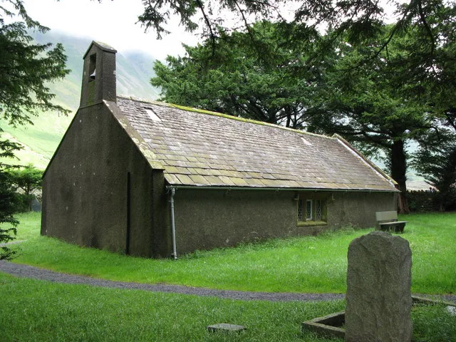
Church of St Olaf — grade II listed church in Wasdale Head, Cumbria, England, UK.
📷 5Historic churches · North West England
St Olaf's Church, Wasdale
St Olaf's Church, Wasdale — a other in england-north-west, United Kingdom.
 ★ Iconic📷 4
Wild swimming spots · North West England
Wast Water
England's deepest lake — 79m deep, iconic view, popular wild swim.
More mountains in this region
 📷 3
📷 3Mountains & hills · North West England
Allen Crags
Allen Crags — Named summit at 785 m.
 📷 3
📷 3Mountains & hills · North West England
Alum Pot
Alum Pot — Open shaft pothole in North Yorkshire.
 📷 3
📷 3Mountains & hills · North West England
Arnside Knott
Arnside Knott — Named summit at 159 m.
 📷 3
📷 3Mountains & hills · North West England
Aye Gill Pike
Aye Gill Pike — Named summit at 556.3 m.
Frequently asked questions
- Where is Yewbarrow?
- Yewbarrow is in North-West England, United Kingdom (postcode CA20 1EX), in the parish of Wasdale.
- Is Yewbarrow free to visit?
- Yes, Yewbarrow is free to enter.
- How do I get to Yewbarrow?
- The nearest railway station is Dalegarth, about 7.7 km away. Drivers can navigate to postcode CA20 1EX.