Mountains & hills · North West England
Yarlside
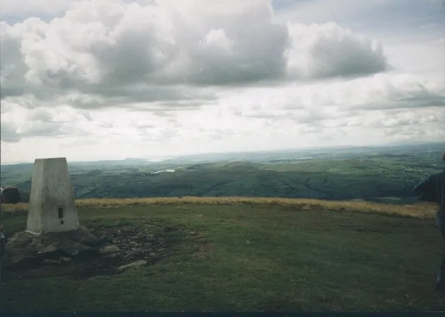
Yarlside — Named summit at 639.2 m.

Wikimedia Commons contributors — see linked file page for photographer and licence licence
Plan your visit
- Typical visit
- 3 h–8 h
- Best time of year
- Late spring – early autumn (May–Oct)
- Free entry
- Dog-friendly
About
Yarlside is a named summit in the United Kingdom. Wikidata describes it as: "Named summit at 639.2 m.". Coordinates: 54.3813°, -2.4858°.
Photo gallery
Protected designations
- Site of Special Scientific Interest: Langdale, Bowderdale and Carlin Gill SSSI
- Site of Special Scientific Interest: River Eden and Tributaries SSSI
Designations sourced from Natural England open data under OGL v3.
From the Wikipedia article
Yarlside is a hill in the Howgill Fells, Cumbria (historically Westmorland), England. This fell is not to be confused with the Yarlside area near Barrow-in-Furness, once served by the Yarlside Iron Mines tramway. That lies 33 miles (53 km) to the west. Nor should it be confused with Great Yarlside and Little Yarlside on the eastern fringes of the Lake District, 11 miles (18 km) to the northwest.
Excerpt from Wikipedia under CC BY-SA 4.0. See the source article linked in Sources below.
- Coordinates
- 54.3813, -2.4858
- District
- Westmorland and Furness
- Parish
- Ravenstonedale
- Postcode
- LA10 5NF
- Parliamentary constituency
- Westmorland and Lonsdale
Sources
- osm: n8959265086 (ODbL)
- wikipedia: Yarlside (CC BY-SA 4.0)
- commons: Yarlside summit carn - geograph.org.uk - 543236.jpg (CC BY-SA 4.0)
Other places nearby
Loading nearby places…
Nearby
 📷 3
📷 3Mountains & hills · North West England
Randygill Top
Randygill Top — a mountain in england-north-west, United Kingdom, 624 m.
 📷 3
📷 3Other places · North West England
Red Gill Washfold
Red Gill Washfold — Public artwork (sculpture) by Andy Goldsworthy.
Cafés · North West England
The Cross Keys Temperance Inn
The Cross Keys Temperance Inn — a café in england north west.
 📷 3
📷 3Burial mounds & barrows · North East England
Howgill Fells
Howgill Fells in England North East, United Kingdom.
 📷 3
📷 3Mountains & hills · North West England
The Calf
The Calf — Named summit at 676.7 m.
 📷 3
📷 3Natural landmarks · North West England
The Calf
The Calf — mountain in Cumbria, United Kingdom.
More mountains in this region
 📷 3
📷 3Mountains & hills · North West England
Allen Crags
Allen Crags — Named summit at 785 m.
 📷 3
📷 3Mountains & hills · North West England
Alum Pot
Alum Pot — Open shaft pothole in North Yorkshire.
 📷 3
📷 3Mountains & hills · North West England
Arnside Knott
Arnside Knott — Named summit at 159 m.
 📷 3
📷 3Mountains & hills · North West England
Aye Gill Pike
Aye Gill Pike — Named summit at 556.3 m.
Frequently asked questions
- Where is Yarlside?
- Yarlside is in North-West England, United Kingdom (postcode LA10 5NF), in the parish of Ravenstonedale.
- Is Yarlside a protected site?
- Yes — Yarlside is part of the Langdale, Bowderdale and Carlin Gill SSSI Site of Special Scientific Interest and the River Eden and Tributaries SSSI Site of Special Scientific Interest.
- Is Yarlside free to visit?
- Yes, Yarlside is free to enter.
- How do I get to Yarlside?
- Drivers can navigate to postcode LA10 5NF. It sits within the Westmorland and Lonsdale parliamentary constituency.