Natural landmarks · North Wales
Y Cnicht
Also known as: Cnicht
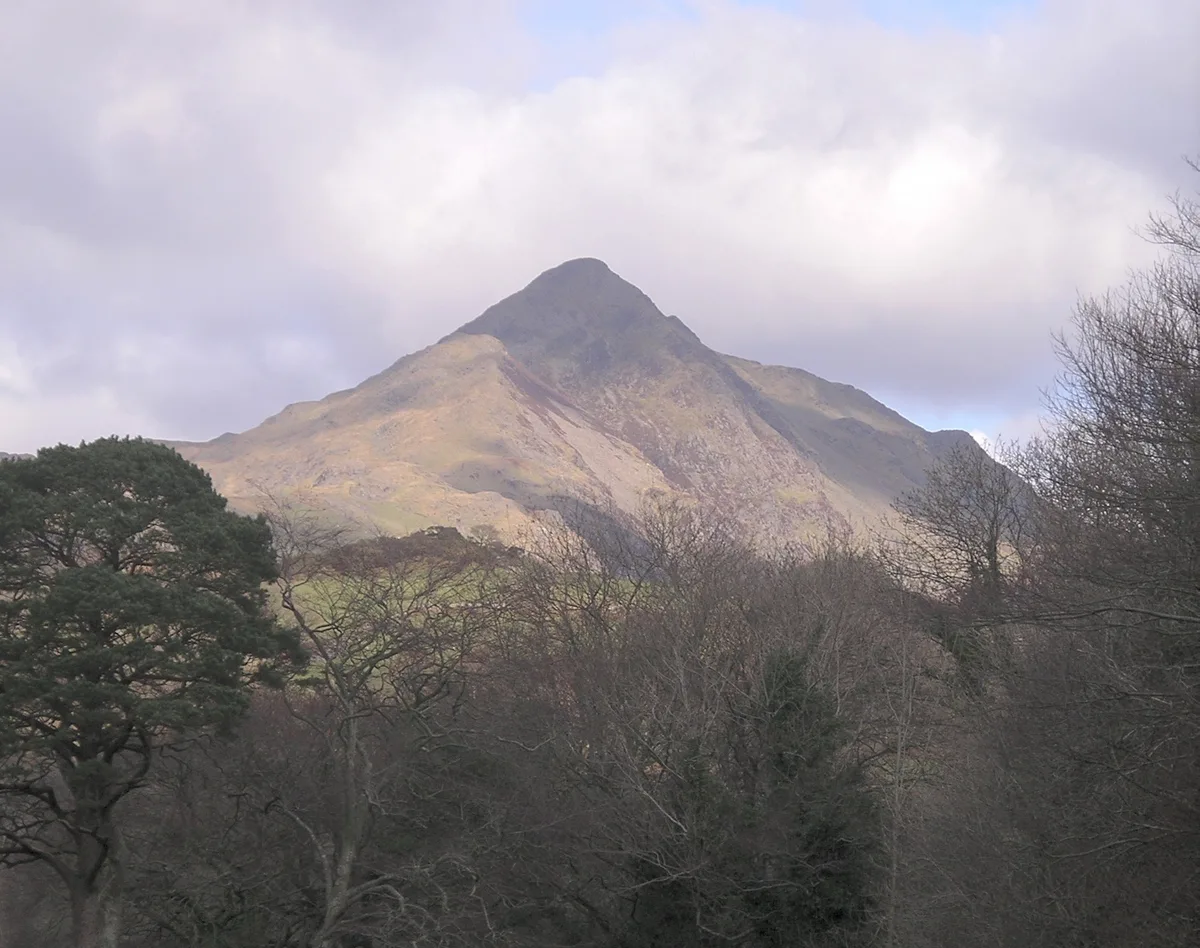
Y Cnicht — mountain (689m) in Gwynedd.

Wikimedia Commons contributors — see linked file page for photographer and licence licence
Plan your visit
- Typical visit
- 1 h–2 h
- Nearest railway station
- Tanygrisiau · 4.1 km
- Free entry
- Dog-friendly
About
Y Cnicht is a named natural landmark in the United Kingdom. Wikidata describes it as: "mountain (689m) in Gwynedd". Coordinates: 52.9997°, -4.0199°.
Photo gallery
From the Wikipedia article
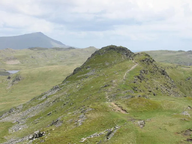
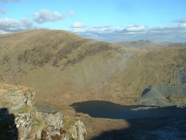
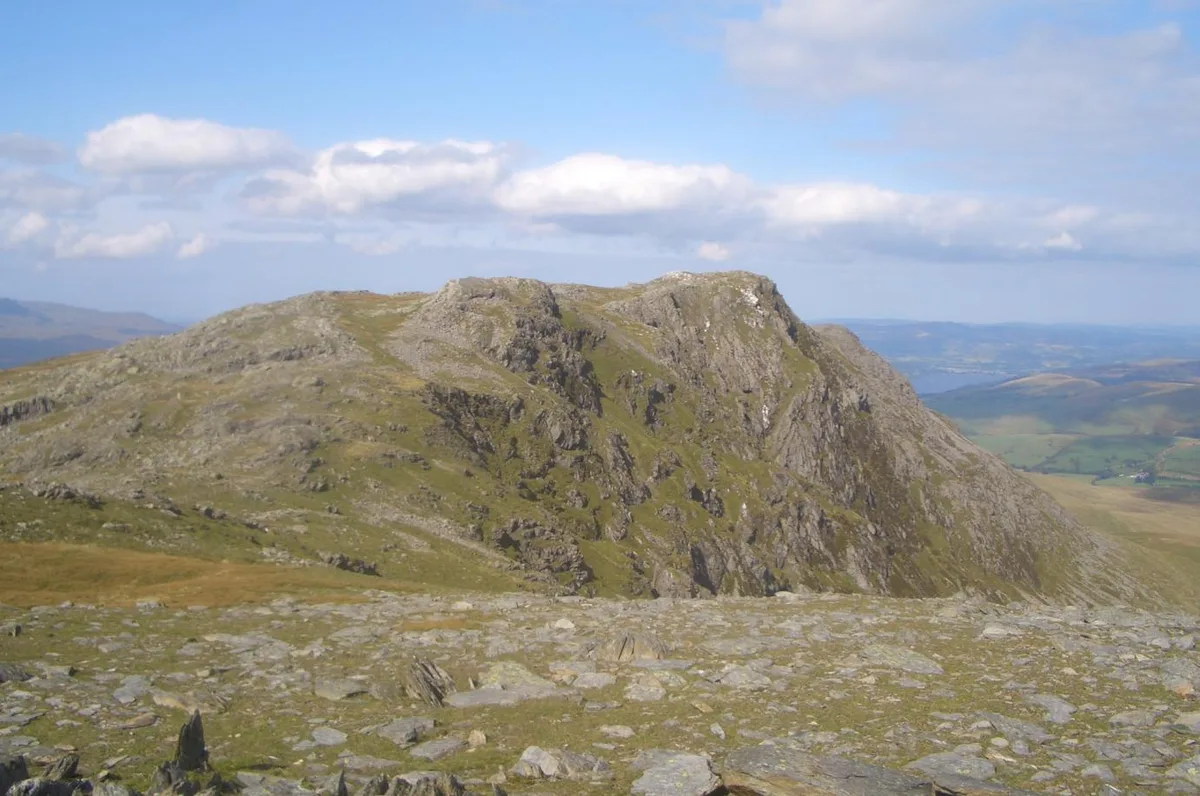
Cnicht is a mountain in Snowdonia which forms part of the Moelwynion mountain range.
Excerpt from Wikipedia under CC BY-SA 4.0. See the source article linked in Sources below.
Background
Description
Its appearance when viewed from the south-west, i.e., from the direction of Porthmadog, has earned it the sobriquet the "Matterhorn of Wales", albeit being 3,787 metres lower. In reality, Cnicht is a long ridge and, at 691 m, is the fifth-highest peak in the Moelwynion mountain range. It can be easily ascended from Croesor, the village at its foot, or, with more difficulty, from Nant Gwynant to the northwest. Although regarded by some as a mountain in its own right, Cnicht does not have the required 150m of topographic prominence to be classed as a Marilyn.
Sourced from Wikipedia under CC BY-SA 4.0.
- Coordinates
- 52.9997, -4.0199
- District
- Gwynedd
- Parish
- Llanfrothen
- Postcode
- LL48 6SS
- Parliamentary constituency
- Dwyfor Meirionnydd
- Nearest railway station
- Tanygrisiau — 4.1 km
- Official site
- www.hill-bagging.co.uk
Sources
- wikidata: Q5137364 (CC0)
- wikipedia: Cnicht (CC BY-SA 4.0)
- commons: Cnicht from west.jpg (CC BY-SA 4.0)
Other places nearby
Loading nearby places…
Nearby
 📷 5
📷 5Mountains & hills · North Wales
Cnicht
Cnicht — Named summit at 689 m.
 📷 3
📷 3Mountains & hills · North Wales
Cnicht North Top
Cnicht North Top — Named summit at 688 m.
 📷 3
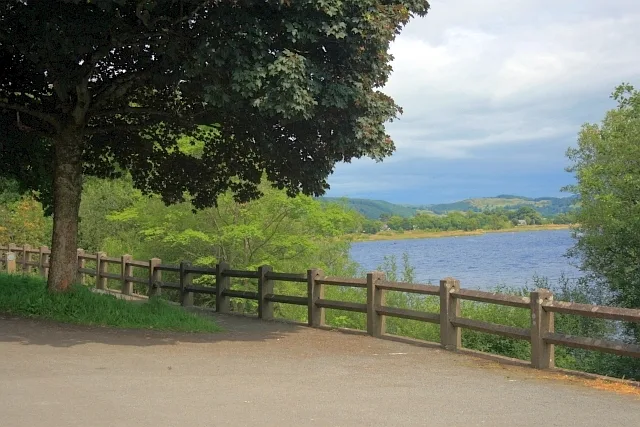
📷 3Reservoirs & lochs · North Wales
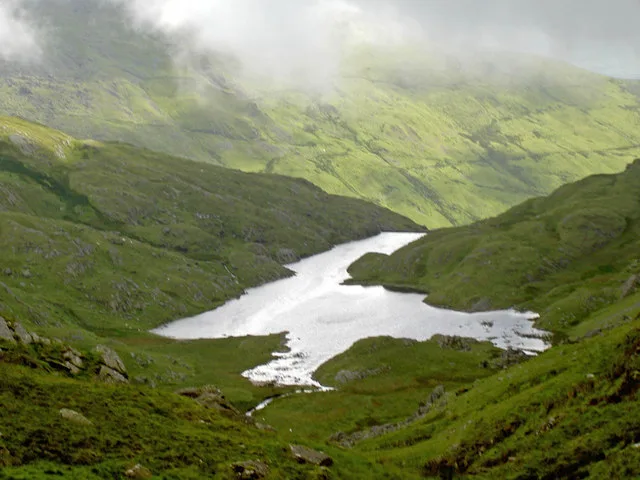
Llyn Cwm y Foel
Llyn Cwm y Foel — lake in Gwynedd, Wales.
 📷 3
📷 3Mountains & hills · North Wales
Cerrig-y-myllt East Top
Cerrig-y-myllt East Top — a mountain in wales-north, United Kingdom, 458 m.
 📷 3
📷 3Historic houses · North Wales
Brakesman's Shelter
Brakesman's Shelter — a historic house in wales-north, United Kingdom.
📷 3Historic houses · North Wales
Incline Drumhead
Incline Drumhead — a historic house in wales-north, United Kingdom.
More natural landmarks in this region
 Flagship📷 5
Natural landmarks · North Wales
Llyn Llydaw
Llyn Llydaw is a natural landmark in the United Kingdom.
 📷 5
📷 5Natural landmarks · North Wales
Llyn Tegid
Llyn Tegid is a natural landmark in the United Kingdom.
 📷 3
📷 3Natural landmarks · North Wales
Allt-fawr
Allt-fawr — mountain (698m) in Gwynedd, Wales.
 📷 3
📷 3Natural landmarks · North Wales
Aran Benllyn
Aran Benllyn — mountain (885m) in Gwynedd.
Frequently asked questions
- Where is Y Cnicht?
- Y Cnicht is in North Wales, United Kingdom (postcode LL48 6SS), in the parish of Llanfrothen.
- Is Y Cnicht free to visit?
- Yes, Y Cnicht is free to enter.
- How do I get to Y Cnicht?
- The nearest railway station is Tanygrisiau, about 4.1 km away. Drivers can navigate to postcode LL48 6SS.