Archaeological sites · West Midlands
Wyre Forest
Wyre Forest — large, semi-natural woodland in England.

Wikimedia Commons contributors — see linked file page for photographer and licence licence
Plan your visit
- Typical visit
- 45 min–1.5 h
- Nearest railway station
- Northwood Halt · 3.0 km
- Free entry
- Dog-friendly
About
Wyre Forest is an archaeological site in the United Kingdom. Wikidata describes it as: "large, semi-natural woodland in England". Coordinates: 52.3850°, -2.3686°.
Photo gallery
Protected designations
- Site of Special Scientific Interest: Wyre Forest SSSI
- Site of Special Scientific Interest: River Teme SSSI
- National Nature Reserve: WYRE FOREST
Designations sourced from Natural England open data under OGL v3.
From the Wikipedia article
Wyre Forest is a large, semi-natural (partially unmanaged) woodland and forest measuring 26.34 square kilometres (10.17 sq mi) which straddles the borders of Worcestershire and Shropshire, England. Knowles Mill, a former corn mill owned by the National Trust lies within the forest.
Excerpt from Wikipedia under CC BY-SA 4.0. See the source article linked in Sources below.
Background
History
The historic extent of the Wyre Forest is debatable. It is thought that it once stretched from Worcester to Bridgnorth along the west bank of the River Severn, but evidence for that is thin. Wyre Forest has none of the legal peculiarities of a historic forest at all, instead has those of a chase (of common land) with hunting rights belonging to the Mortimer family, who had the title Earl of March from 1328, as holders for centuries of the manor and liberty of Cleobury Mortimer, which technically still enjoys such hunting rights. How far north the Mortimer family's hunting rights extended is debatable, but it may have included the whole area in south east Shropshire of which they were…
Sourced from Wikipedia under CC BY-SA 4.0.
- Coordinates
- 52.3850, -2.3686
- District
- Shropshire
- Parish
- Kinlet
- Postcode
- DY12 3EF
- Parliamentary constituency
- South Shropshire
- Nearest railway station
- Northwood Halt — 3 km
Sources
- wikidata: Q8040451 (CC0)
- wikipedia: Wyre Forest (CC BY-SA 4.0)
- commons: Wyre Forest.jpg (CC BY-SA 4.0)
Other places nearby
Loading nearby places…
Nearby
Mountain bike trails · West Midlands
Wyre Forest Blue Route
Wyre Forest Blue Route — a mtb trail in england west midlands.
 📷 4
📷 4Watermills · West Midlands
Knowles Mill
Knowles Mill is a watermill in the United Kingdom.
 📷 3
📷 3Natural landmarks · West Midlands
The Withy Pear
The Withy Pear — a other in england-west-midlands, United Kingdom.
 ★ Iconic📷 5
Heritage railways · West Midlands
Severn Valley Railway
16-mile preserved steam railway from Kidderminster to Bridgnorth, since 1970.
Mountain bike trails · West Midlands
Wyre Forest Green Route
Wyre Forest Green Route — a mtb trail in england west midlands.
Campsites · West Midlands
Hopleys Family Camping
Hopleys Family Camping — a campsite in england west midlands.
More archaeological sites in this region
 📷 3
📷 3Archaeological sites · West Midlands
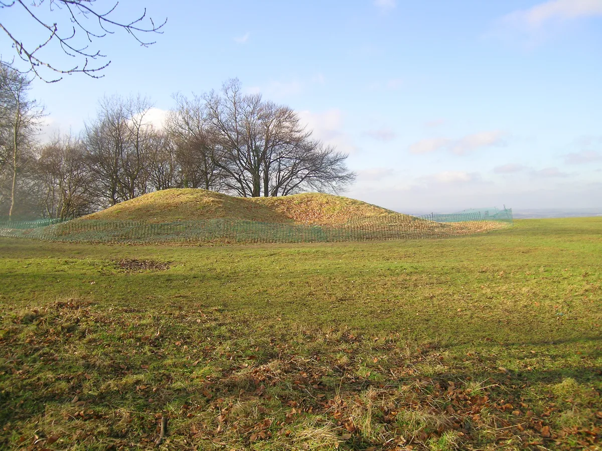
A Neolithic barrow on Whiteleaf Hill, 50m east of Whiteleaf Cross
A Neolithic barrow on Whiteleaf Hill, 50m east of Whiteleaf Cross — archaeological site in Princes Risborough, Buckinghamshire, England, UK.
 📷 3
📷 3Archaeological sites · West Midlands
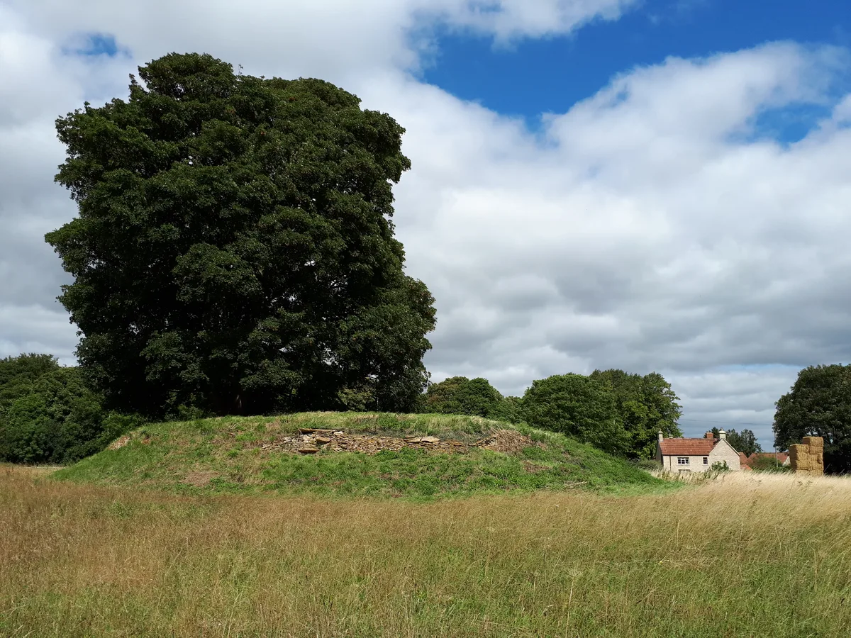
Asthall Barrow: an Anglo-Saxon burial mound 100m SSW of Barrow Farm
Asthall Barrow: an Anglo-Saxon burial mound 100m SSW of Barrow Farm — archaeological site in Asthall, West Oxfordshire, England, UK.
 📷 3
📷 3Archaeological sites · West Midlands
Barnhill moated site at Hambleton
Barnhill moated site at Hambleton — archaeological site in Hambleton, Rutland, England, UK.
 📷 2
📷 2Archaeological sites · West Midlands
Bottom Wood
Bottom Wood — English nature reserve.
Frequently asked questions
- Where is Wyre Forest?
- Wyre Forest is in the West Midlands, United Kingdom (postcode DY12 3EF), in the parish of Kinlet.
- Is Wyre Forest a protected site?
- Yes — Wyre Forest is part of the Wyre Forest SSSI Site of Special Scientific Interest and the River Teme SSSI Site of Special Scientific Interest.
- How do I get to Wyre Forest?
- The nearest railway station is Northwood Halt, about 3.0 km away. Drivers can navigate to postcode DY12 3EF.