Towns & cities · London
Wyboston
Wyboston — village in Bedfordshire, England, UK.

Wikimedia Commons contributors — see linked file page for photographer and licence licence
Plan your visit
- Typical visit
- 3 h–6 h
- Nearest railway station
- St Neots · 5.4 km
- Free entry
- Family-friendly
- Dog-friendly
About
Wyboston is a town, city, village or settlement in the United Kingdom. Address: MK44. Wikidata describes it as: "village in Bedfordshire, England, UK". Coordinates: 52.1950°, -0.2990°.
Photo gallery
From the Wikipedia article
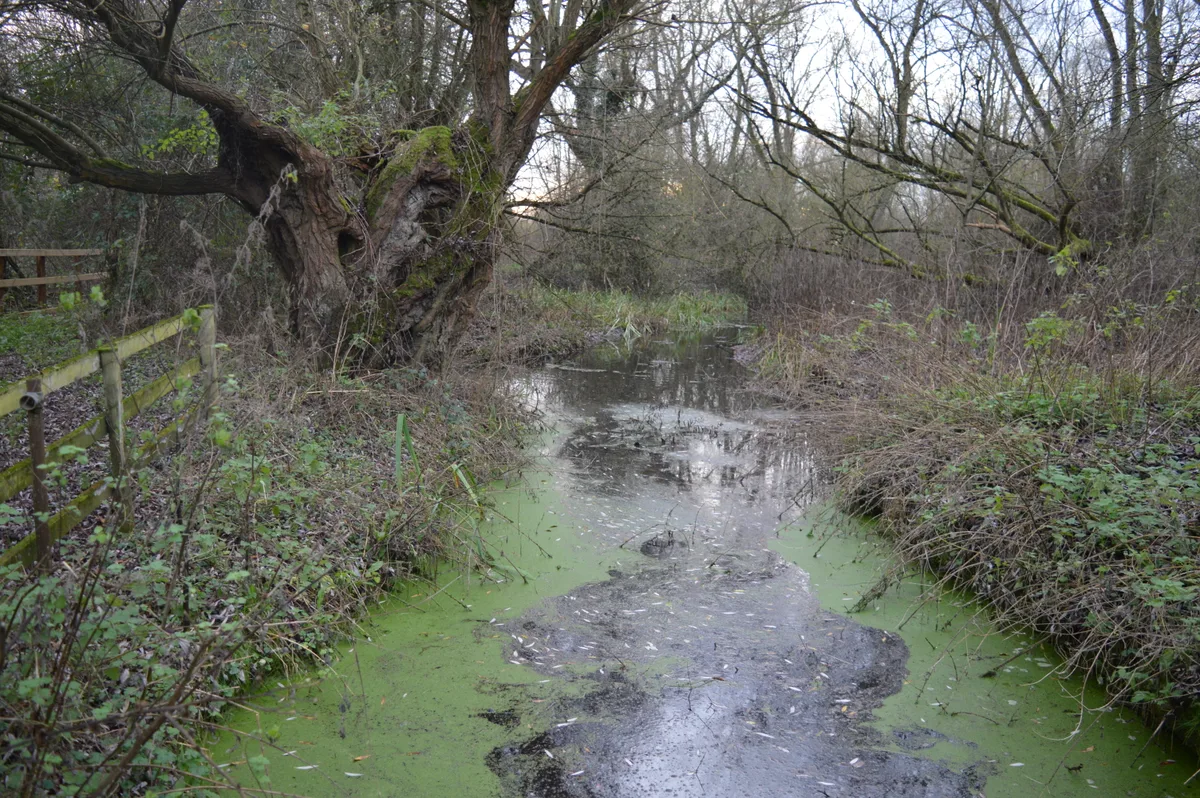
Wyboston is a village in the English county of Bedfordshire, close to the town of St Neots and the Cambridgeshire border. The eastern part of the village is dominated by the A1 Great North Road. Approaching the Black Cat roundabout from the Bedford direction, the parish boundary is in the centre of the A421 road. The northern junction of these roads is grade-separated. Wyboston is in the civil parish of Wyboston, Chawston and Colesden. The remainder of Wyboston is horticultural and agricultural as a result of the proximity of the River Great Ouse. Wyboston Lakes Resort at the edge of the village includes a golf course, hotel, spa, serviced offices and conference and training facilities. Wyboston is also the location of a conference centre owned and operated by Cambridge University's Robinson College. There is a service station which includes a BP garage with a Londis shop attached, Subway and a 24-hour McDonald's. Wyboston is the location of the Black Cat roundabout, where the Bedford Road joins the A1 road. In the 1930s the location was the site of a cafe and fuel station, and was a notable stopping point for motorists. The name stuck for the road junction, and when the road system was improved in 2010 a black cat artwork was erected on the roundabout.
Excerpt from Wikipedia under CC BY-SA 4.0. See the source article linked in Sources below.
- Coordinates
- 52.1950, -0.2990
- District
- Bedford
- Parish
- Wyboston, Chawston and Colesden
- Postcode
- MK44
- Parliamentary constituency
- North Bedfordshire
- Nearest railway station
- St Neots — 5.4 km
Sources
- wikidata: Q1518941 (CC0)
- wikipedia: Wyboston (CC BY-SA 4.0)
- commons: Haulage Yard, Wyboston - geograph.org.uk - 1284299.jpg (CC BY-SA 4.0)
Other places nearby
Loading nearby places…
Nearby
 📷 5
📷 5Wildlife reserves · London
Begwary Brook
Begwary Brook — nature reserve in the United Kingdom.
Campsites · London
The Birches
The Birches — a campsite in england london.
 📷 5
📷 5Towns & cities · London
Chawston
Chawston — village in Bedfordshire, England, UK.
 📷 5
📷 5Memorials & monuments · London
Black Cat Roundabout
Black Cat Roundabout — Monument, dating to 2004-01.
 📷 5
📷 5Historic churches · London
St Denys' Church, Little Barford
St Denys' Church, Little Barford — redundant Anglican church in the village of Little Barford, Bedfordshire, England, UK.
 📷 5
📷 5Memorials & monuments · London
The Eaton Socon Brewery
The Eaton Socon Brewery — a memorial in england-london, United Kingdom.
More towns in this region
 Flagship📷 10
Towns & cities · London
Aldenham
Aldenham — village and civil parish in Hertfordshire, England.
 Flagship📷 10
Towns & cities · London
Ashdon
Ashdon — village and civil parish in Essex, UK.
 Flagship📷 10
Towns & cities · London
Betchworth
Betchworth — village and civil parish in the Mole Valley district of Surrey, England.
 Flagship📷 10
Towns & cities · London
Boxley
Boxley — village and civil parish in Maidstone District, Kent, England, UK.
Frequently asked questions
- Where is Wyboston?
- Wyboston is in London, United Kingdom (postcode MK44), in the parish of Wyboston, Chawston and Colesden.
- Is Wyboston free to visit?
- Yes, Wyboston is free to enter.
- How do I get to Wyboston?
- The nearest railway station is St Neots, about 5.4 km away. Drivers can navigate to postcode MK44.