Historic houses · South East England
WW2 Mulberry Harbour unit
WW2 Mulberry Harbour unit — a historic house in england-south-east, United Kingdom.

Ray Stanton — CC BY-SA 2.0 via Wikimedia Commons licence
Plan your visit
- Typical visit
- 1 h–2 h
- Family-friendly
- Limited wheelchair access
About
WW2 Mulberry Harbour unit is a historic house located in england-south-east, United Kingdom. Sourced from OpenStreetMap (ODbL licence); see local listings for visitor information, opening hours and admission details.
Photo gallery
Place summary
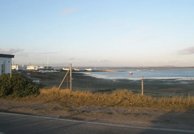
The WW2 Mulberry Harbour unit is located in South-East England. This historic site is significant for its role in the D-Day landings, featuring remnants of the floating harbours used to facilitate the Allied invasion of Normandy.
AI-generated from the structured facts on this page (operator, designation, listing, era). Not a substitute for visiting.
- Coordinates
- 50.7990, -1.0248
- County
- Hampshire
- District
- Havant
- Parish
- Havant, unparished area
- Postcode
- PO11 0DG
- Parliamentary constituency
- Havant
Sources
- osm: node/4335314258 (ODbL)
Other places nearby
Loading nearby places…
Nearby
 📷 5
📷 5Archaeological sites · South East England
Remains of Hayling Billy railway embankment (original route)
Remains of Hayling Billy railway embankment (original route) — a archaeological in england-south-east, United Kingdom.
 📷 5
📷 5Wildlife reserves · South East England
The Kench, Hayling Island
The Kench, Hayling Island is a wildlife reserve in the United Kingdom.
 📷 5
📷 5Forts · South East England
Fort Cumberland
Fort Cumberland is a fort in the United Kingdom.
_poster.jpg?width=1200) 📷 4
📷 4Beaches · South East England
Sword Sands
Sword Sands is a beach in the United Kingdom.
 📷 5
📷 5Viewpoints · South East England
Footpath Along the Beach
Footpath Along the Beach is a viewpoint in the United Kingdom.
.jpg?width=1200) 📷 5
📷 5Wildlife reserves · South East England
Milton Locks
Milton Locks is a wildlife reserve in the United Kingdom.
More historic houses in this region
 Flagship📷 9
Historic houses · South East England
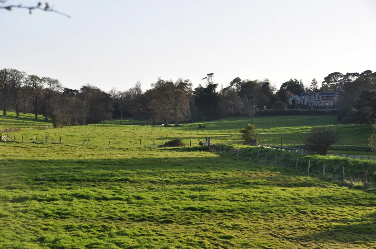
Old Arlesford House
Old Arlesford House — country house in Old Alresford, England.
 Flagship📷 10
Historic houses · South East England
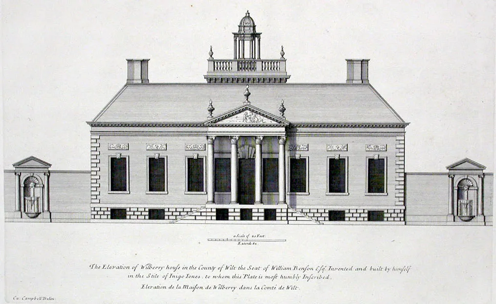
Wilbury House
Wilbury House — Grade I listed house in Newton Tony, Wiltshire, England, UK.
 📷 10
📷 10Historic houses · South East England
Woodlands Vale
Woodlands Vale — house in Seaview, Isle of Wight, England, UK.
 📷 5
📷 5Historic houses · South East England
1 South Parade
1 South Parade — Grade I listed house in Bath, Somerset, England, UK.
Frequently asked questions
- Where is WW2 Mulberry Harbour unit?
- WW2 Mulberry Harbour unit is in South East England, in the United Kingdom — coordinates 50.7990°, -1.0248°.
- Is WW2 Mulberry Harbour unit wheelchair accessible?
- Partially — OpenStreetMap notes limited wheelchair access at WW2 Mulberry Harbour unit. Check ahead for specific facilities.