Towns & cities · East Midlands
Wingerworth
Wingerworth — village and civil parish in North East Derbyshire, England.

Wikimedia Commons contributors — see linked file page for photographer and licence licence
Plan your visit
- Typical visit
- 3 h–6 h
- Nearest railway station
- Chesterfield · 4.0 km
- Free entry
- Family-friendly
- Dog-friendly
About
Wingerworth is a town, city, village or settlement in the United Kingdom. Recent population estimates put it at around 6,533 people. Wikidata describes it as: "village and civil parish in North East Derbyshire, England". Coordinates: 53.2033°, -1.4347°.
Photo gallery
From the Wikipedia article
Wingerworth is a large village and parish in North East Derbyshire, England. Its population, according to the 2011 census, was 6,533. Wingerworth is 3 miles (4.8 km) southwest of Chesterfield, 15 miles (24 km) south of Sheffield and 150 miles (240 km) north of London. Tupton, Clay Cross, Grassmoor and Ashover are nearby.
Excerpt from Wikipedia under CC BY-SA 4.0. See the source article linked in Sources below.
Background
History
Wingerworth is first recorded in the Domesday Book of 1086 as a community of fourteen houses of freemen. In the book it is called Wingreurde, an Anglo-Saxon name meaning "King's Land." For the bulk of the Middle Ages, the lords of Wingerworth Manor were the Brailsfords. After their stewardship, the lordship descended in a relatively uncertain manner to the Curzons of Kedleston Hall until finally coming under the lordship of the Hunloke Family. The seat of the Hunloke Family was at Wingerworth Hall, which was demolished in 1927 to make way for housing developments, as a buyer could not be found for the property. The Hall was also used as a Roundhead garrison during the English Civil War.
Sourced from Wikipedia under CC BY-SA 4.0.
- Coordinates
- 53.2033, -1.4347
- County
- Derbyshire
- District
- North East Derbyshire
- Parish
- Wingerworth
- Postcode
- S42 6PR
- Parliamentary constituency
- North East Derbyshire
- Population
- 6,533
- Nearest railway station
- Chesterfield — 4 km
Sources
- wikidata: Q1860823 (CC0)
- wikipedia: Wingerworth (CC BY-SA 4.0)
- commons: Barley Mow, Wingerworth 194070.jpg (CC BY-SA 4.0)
Other places nearby
Loading nearby places…
Nearby
 📷 3
📷 3Historic churches · East Midlands
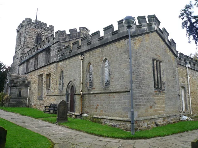
Church of All Saints
Church of All Saints — Anglican church in Wingerworth, Derbyshire, England, UK.
 📷 3
📷 3Theatres · East Midlands
Cineworld Cinema Chesterfield
Cineworld Cinema Chesterfield in England East Midlands, United Kingdom.
 📷 3
📷 3Bowling alleys · East Midlands
Chesterfield Bowl
Chesterfield Bowl — a bowling in england-east-midlands, United Kingdom.
 📷 5
📷 5Towns & cities · East Midlands
Tupton
Tupton — village and civil parish in North East Derbyshire, England.
 📷 3
📷 3Theatres · East Midlands
The Playhouse
The Playhouse is a theatre in the United Kingdom.
 📷 3
📷 3Towns & cities · East Midlands
Grassmoor
Grassmoor — village in Derbyshire, England, UK.
More towns in this region
 Flagship📷 3
Towns & cities · East Midlands
Aldborough
Aldborough — village in Norfolk, England, UK.
 Flagship📷 4
Towns & cities · East Midlands
Alderford
Alderford — village and civil parish in Norfolk, UK.
 Flagship📷 5
Towns & cities · East Midlands
Ashmanhaugh
Ashmanhaugh — village in Norfolk, England, UK.
 Flagship📷 3
Towns & cities · East Midlands
Attlebridge
Attlebridge — a village located in Broadland, United Kingdom.
Frequently asked questions
- Where is Wingerworth?
- Wingerworth is in Derbyshire, the East Midlands, United Kingdom (postcode S42 6PR), in the parish of Wingerworth.
- Is Wingerworth free to visit?
- Yes, Wingerworth is free to enter.
- How do I get to Wingerworth?
- The nearest railway station is Chesterfield, about 4.0 km away. Drivers can navigate to postcode S42 6PR.