Climbing & bouldering crags · East Midlands
Wind Hill Farm Outcrop
Wind Hill Farm Outcrop — a climbing crag in england east midlands.
Plan your visit
- Typical visit
- 1 h–2 h
About
Wind Hill Farm Outcrop is a climbing crag located in england east midlands, mapped by OpenStreetMap contributors. Detailed amenities and visitor information may vary; check the OSM page for the latest tagged metadata.
- Coordinates
- 53.4825, -1.6345
Sources
- osm: w804352547 (ODbL)
Other places nearby
Loading nearby places…
Nearby
 📷 5
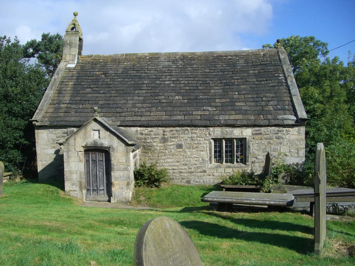
📷 5Historic churches · East Midlands
St James' Church, Midhopestones
St James' Church, Midhopestones — church in Bradfield, Sheffield, South Yorkshire, England, UK.
 📷 3
📷 3Historic bridges · East Midlands
Midhopestones Bridge
Midhopestones Bridge — Grade II listed building-listed bridge in england-east-midlands, United Kingdom.
 📷 3
📷 3Public art & sculpture · East Midlands
Coppice Close
Coppice Close — a public art in england-east-midlands, United Kingdom.
 📷 5
📷 5Reservoirs & lochs · East Midlands
Midhope Reservoir
Midhope Reservoir — reservoir in South Yorkshire, England.
 📷 3
📷 3Viewpoints · East Midlands
Steel Project View Point
Steel Project View Point is a viewpoint in the United Kingdom.
 📷 3
📷 3Public art & sculpture · East Midlands
Grandad Fox
Grandad Fox — a public art in england-east-midlands, United Kingdom.
More places in this region
 ★ Iconic📷 5
Climbing & bouldering crags · East Midlands
Stanage Edge
Britain's biggest climbing crag — four miles of Peak District gritstone.
Climbing & bouldering crags · East Midlands
Stanage End
Stanage End — a climbing crag in england east midlands.
Climbing & bouldering crags · East Midlands
Marble Wall
Marble Wall — a climbing crag in england east midlands.
Climbing & bouldering crags · East Midlands
Crow Chin
Crow Chin — a climbing crag in england east midlands.
Frequently asked questions
- Where is Wind Hill Farm Outcrop?
- Wind Hill Farm Outcrop is in East Midlands, in the United Kingdom — coordinates 53.4825°, -1.6345°.