Towns & cities · South East England
Whitehill
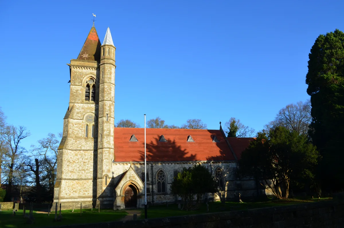
Whitehill — village and civil parish in Hampshire, UK.

Wikimedia Commons licence
Plan your visit
- Typical visit
- 3 h–6 h
- Nearest railway station
- Liphook · 5.9 km
- Free entry
- Family-friendly
- Dog-friendly
About
Whitehill is a town, city, village or settlement in the United Kingdom. Recent population estimates put it at around 13,259 people. Wikidata describes it as: "village and civil parish in Hampshire, UK". Coordinates: 51.1018°, -0.8691°.
Photo gallery
Protected designations
- National Nature Reserve: WEALDEN HEATHS
Designations sourced from Natural England open data under OGL v3.
From the Wikipedia article
Whitehill is a village and civil parish in the East Hampshire district of Hampshire, England, on the historic route (now the A325) between Petersfield and Farnham. It is 0.7 miles (1.1 km) south of Bordon and covers an area of approximately 8 square miles. The nearest railway station is Liss, 4 miles (6.4 km) south of the village. For more information on Whitehill-Bordon and the eco-town proposal, see Bordon.
Excerpt from Wikipedia under CC BY-SA 4.0. See the source article linked in Sources below.
Background
History
Lying on the main road between Petersfield and Farnham, now the A325, there had been a hostelry, the Prince of Wales, at what was to become Whitehill. With the development of Bordon Camp and Longmoor Military Camp between 1899 and 1903, Whitehill, lying between the two, began to develop. Whitehill became a civil parish in 1928, having formerly been part of the parishes of Headley and Selborne. By 1931, the population of the civil parish was 4,661 in 631 households. In 1932 a police station and court house were built, but courts were later held at Alton.
Sourced from Wikipedia under CC BY-SA 4.0.
- Coordinates
- 51.1018, -0.8691
- County
- Hampshire
- District
- East Hampshire
- Parish
- Whitehill
- Postcode
- GU35 9BT
- Parliamentary constituency
- Farnham and Bordon
- Population
- 13,259
- Nearest railway station
- Liphook — 5.9 km
- Official site
- www.neighbourhood.statistics.gov.uk
Sources
- wikidata: Q647998 (CC0)
- wikipedia: Whitehill, Hampshire (CC BY-SA 4.0)
Other places nearby
Loading nearby places…
Nearby
 📷 5
📷 5Archaeological sites · South East England
Tumulas
Tumulas — a archaeological in england-south-east, United Kingdom.
.jpg?width=1200) 📷 5
📷 5Wildlife reserves · South East England
Deadwater Valley
Deadwater Valley — nature reserve in Hampshire, England, UK.
Caravan parks · South East England
Whitehill Park
Whitehill Park — a caravan park in england south east.
 📷 5
📷 5Museums · South East England
Bordon
Bordon is a town in the East Hampshire district of Hampshire, England. It lies in the interior of the royal Woolmer Forest, about 5 miles (8.0 km) southeast of Alton. The town forms a part of the civi
 📷 5
📷 5Abbeys & priories · South East England
St Matthew's Church
St Matthew's Church — church in Blackmoor, Hampshire, England, UK.
 📷 5
📷 5Cathedrals · South East England
St Matthew's Church
St Matthew's Church is a cathedral in the United Kingdom.
More towns in this region
 Flagship📷 10
Towns & cities · South East England
Aldermaston
Aldermaston — village and civil parish in West Berkshire in England, UK.
 Flagship📷 10
Towns & cities · South East England
Aldingbourne
Aldingbourne — village and civil parish in Arun, West Sussex, UK.
 Flagship📷 10
Towns & cities · South East England
Aldington
Aldington — village and civil parish in the Ashford District of Kent, England.
 Flagship📷 10
Towns & cities · South East England
Aldworth
Aldworth — village and civil parish in the English county of Berkshire.
Frequently asked questions
- Where is Whitehill?
- Whitehill is in Hampshire, South-East England, United Kingdom (postcode GU35 9BT), in the parish of Whitehill.
- Is Whitehill a protected site?
- Yes — Whitehill is part of the WEALDEN HEATHS National Nature Reserve.
- Is Whitehill free to visit?
- Yes, Whitehill is free to enter.
- How do I get to Whitehill?
- The nearest railway station is Liphook, about 5.9 km away. Drivers can navigate to postcode GU35 9BT.