Forests & woodlands · London
West Pit
West Pit is a forest or woodland in the United Kingdom.

Wikimedia Commons contributors — see linked file page for photographer and licence licence
Plan your visit
- Typical visit
- 1 h–3 h
- Nearest railway station
- Cambridge · 2.6 km
- Free entry
- Family-friendly
- Dog-friendly
About
West Pit is a named forest, woodland or nature reserve in the United Kingdom. Coordinates: 52.1799°, 0.1673°. This entry is part of The Great Britain Guide, a free, ad-free, open-data tourist directory.
Photo gallery
Protected designations
- Site of Special Scientific Interest: Cherry Hinton Pit SSSI
Designations sourced from Natural England open data under OGL v3.
From the Wikipedia article
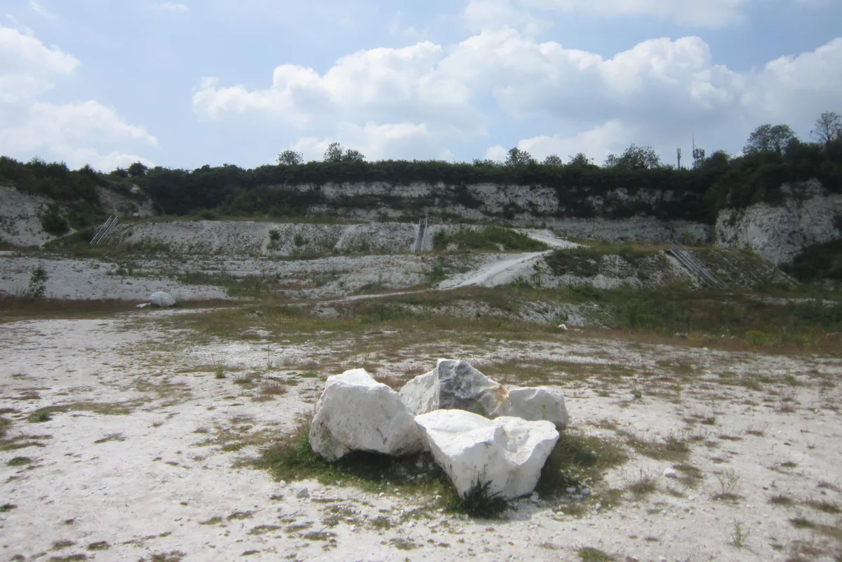
West Pit is a 4.3 hectare Local Nature Reserve in Cherry Hinton, on the south-eastern outskirts of Cambridge. It is part of the Cherry Hinton Pit biological Site of Special Scientific Interest (SSSI), which includes the neighbouring East Pit. This former chalk quarry is now steeply sloping woodland with a caravan park in the centre. The woodland has been designated an SSSI due to the presence of a plant on the British Red List of Threatened Species, the moon carrot. The site has been designated a Local Nature Reserve (LNR) by Cambridge City Council, which shows it as one LNR and East Pit and Limekiln Close as another LNR. However, the LNRs are confused on the Natural England website. One is shown as Limekiln Close and West Pit on the details page, but the map only covers Limekiln Close. The other LNR is shown on the details page as East Pit, whereas the map covers both East and West Pits. There is access to the site from the entrance to the caravan park on Limekiln Road.
Excerpt from Wikipedia under CC BY-SA 4.0. See the source article linked in Sources below.
- Coordinates
- 52.1799, 0.1673
- County
- Cambridgeshire
- District
- Cambridge
- Parish
- Cambridge, unparished area
- Postcode
- CB1 8NQ
- Parliamentary constituency
- South Cambridgeshire
- Nearest railway station
- Cambridge — 2.6 km
- Official site
- www.cambridge.gov.uk
Sources
- osm: w684624780 (ODbL)
- wikipedia: West Pit (CC BY-SA 4.0)
- commons: West Pit 5.jpg (CC BY-SA 4.0)
Other places nearby
Loading nearby places…
Nearby
📷 5Forests & woodlands · London
West Pit
West Pit is a forest or woodland in the United Kingdom.
Caravan parks · London
Cambridge Cherry Hinton Caravan and Motorhome Club
Cambridge Cherry Hinton Caravan and Motorhome Club — a caravan park in england london.
Vineyards · London
War Ditches
War Ditches — a UK vineyard in england london, producing English or Welsh wine from cool-climate grape varieties.
 📷 5
📷 5Wildlife reserves · London
Cherry Hinton Pit
Cherry Hinton Pit — nature reserve in the United Kingdom.
 📷 5
📷 5Forests & woodlands · London
East Pit
East Pit is a forest or woodland in the United Kingdom.
📷 5Forests & woodlands · London
Lime Kiln Close
Lime Kiln Close is a forest or woodland in the United Kingdom.
More forests in this region
 📷 5
📷 5Forests & woodlands · London
Ackroyd Drive Green Link
Ackroyd Drive Green Link is a forest or woodland in the United Kingdom.
 📷 5
📷 5Forests & woodlands · London
Adams Road Bird Sanctuary
Adams Road Bird Sanctuary is a forest or woodland in the United Kingdom.
 📷 5
📷 5Forests & woodlands · London
Adelaide Nature Reserve
Adelaide Nature Reserve is a forest or woodland in the United Kingdom.
 📷 5
📷 5Forests & woodlands · London
Angel's Wings
Angel's Wings — Public artwork by Thomas Heatherwick.
Frequently asked questions
- Where is West Pit?
- West Pit is in Cambridgeshire, London, United Kingdom (postcode CB1 8NQ), in the parish of Cambridge, unparished area.
- Who owns West Pit?
- West Pit is owned by Cambridge City Council.
- Is West Pit a protected site?
- Yes — West Pit is part of the Cherry Hinton Pit SSSI Site of Special Scientific Interest.
- Is West Pit free to visit?
- Yes, West Pit is free to enter.
- How do I get to West Pit?
- The nearest railway station is Cambridge, about 2.6 km away. Drivers can navigate to postcode CB1 8NQ.