Towns & cities · South East England
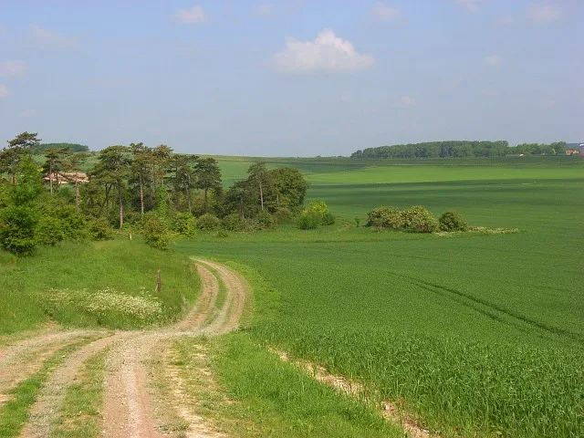
West Ilsley
West Ilsley — a village located in West Berkshire, United Kingdom.

Wikimedia Commons contributors — see linked file page for photographer and licence licence
Plan your visit
- Typical visit
- 3 h–6 h
- Nearest railway station
- Didcot Parkway · 9.5 km
- Free entry
- Family-friendly
- Dog-friendly
About
West Ilsley is a town, city, village or settlement in the United Kingdom. Recent population estimates put it at around 331 people. Wikidata describes it as: "a village located in West Berkshire, United Kingdom". Coordinates: 51.5400°, -1.3190°.
Photo gallery
Protected designations
- Area of Outstanding Natural Beauty: North Wessex Downs
Designations sourced from Natural England open data under OGL v3.
From the Wikipedia article
West Ilsley is a village and civil parish in Berkshire, England. The population of the village at the 2011 Census was 332.
Excerpt from Wikipedia under CC BY-SA 4.0. See the source article linked in Sources below.
Background
History
The word Ilsley is derived from Hilde-Laege which means "Place of conflict", and either West or East Ilsley may be the site of the Battle of Ashdown, Alfred the Great's victory against the Danes. The original Morland Brewery was first set up in West Ilsley in 1711.
Sourced from Wikipedia under CC BY-SA 4.0.
- Coordinates
- 51.5400, -1.3190
- District
- West Berkshire
- Parish
- West Ilsley
- Postcode
- RG20 7AQ
- Parliamentary constituency
- Reading West and Mid Berkshire
- Population
- 331
- Nearest railway station
- Didcot Parkway — 9.5 km
- Official site
- www.westilsley.org.uk
Sources
- wikidata: Q981109 (CC0)
- wikipedia: West Ilsley (CC BY-SA 4.0)
- commons: All Saints, west Ilsley - geograph.org.uk - 1539307.jpg (CC BY-SA 4.0)
Other places nearby
Loading nearby places…
Nearby
 📷 5
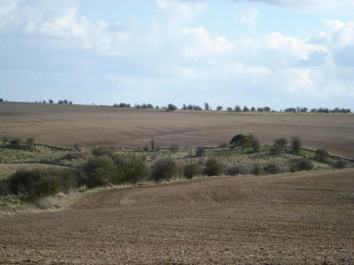
📷 5Archaeological sites · South East England
Grim's Ditch: section 1200yds (1100m) long from Chilton Plantation to Ridge Hill
Grim's Ditch: section 1200yds (1100m) long from Chilton Plantation to Ridge Hill — archaeological site in West Ilsley, Berkshire/Chilton, Oxfordshire, England, UK.
 📷 5
📷 5Archaeological sites · South East England
Grim's Ditch: section W of Chilton Plantation
Grim's Ditch: section W of Chilton Plantation — archaeological site in West Ilsley, Berkshire/Chilton, Oxfordshire, England, UK.
.jpg?width=1200) 📷 5
📷 5Historic houses · South East England
Kennet House
Kennet House — house in East Ilsley, West Berkshire, England, UK.
 📷 5
📷 5Archaeological sites · South East England
Scutchamer Knob (Earthwork)
Scutchamer Knob (Earthwork) — a archaeological in england-south-east, United Kingdom.
 📷 5
📷 5Towns & cities · South East England
Catmore
Catmore — village and civil parish in Berkshire, UK.
 📷 5
📷 5Museums · South East England
R112 Visitors Centre
R112 Visitors Centre — a museum in england-south-east, United Kingdom.
More towns in this region
 Flagship📷 10
Towns & cities · South East England
Aldermaston
Aldermaston — village and civil parish in West Berkshire in England, UK.
 Flagship📷 10
Towns & cities · South East England
Aldingbourne
Aldingbourne — village and civil parish in Arun, West Sussex, UK.
 Flagship📷 10
Towns & cities · South East England
Aldington
Aldington — village and civil parish in the Ashford District of Kent, England.
 Flagship📷 10
Towns & cities · South East England
Aldworth
Aldworth — village and civil parish in the English county of Berkshire.
Frequently asked questions
- Where is West Ilsley?
- West Ilsley is in South-East England, United Kingdom (postcode RG20 7AQ), in the parish of West Ilsley.
- Is West Ilsley a protected site?
- Yes — West Ilsley is part of the North Wessex Downs National Landscape (AONB).
- Is West Ilsley free to visit?
- Yes, West Ilsley is free to enter.
- How do I get to West Ilsley?
- Drivers can navigate to postcode RG20 7AQ. It sits within the Reading West and Mid Berkshire parliamentary constituency.