Forests & woodlands · West Midlands
Warrens Hall Nature Reserve Black Country Geosite
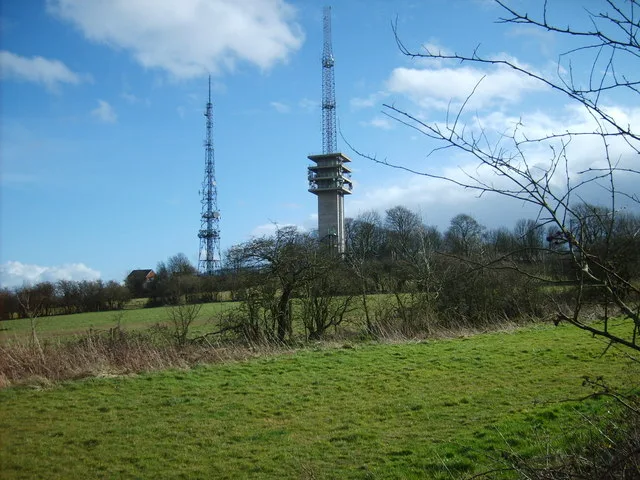
Warrens Hall Nature Reserve Black Country Geosite is a forest or woodland in the United Kingdom.

Wikimedia Commons contributors — see linked file page for photographer and licence licence
Plan your visit
- Typical visit
- 1 h–3 h
- Nearest railway station
- Old Hill · 3.0 km
- Free entry
- Family-friendly
- Dog-friendly
About
Warrens Hall Nature Reserve Black Country Geosite is a named forest, woodland or nature reserve in the United Kingdom. Coordinates: 52.4979°, -2.0625°.
Photo gallery
From the Wikipedia article
Warren's Hall Country Park (also known as Warren's Hall Local Nature Reserve) is a local nature reserve situated in Sandwell Metropolitan Borough in the West Midlands of England. It lies next to Bumble Hole Local Nature Reserve. It includes ponds, canals, grassland, small wooded areas and the entrance to Netherton Canal Tunnel.
Excerpt from Wikipedia under CC BY-SA 4.0. See the source article linked in Sources below.
Background
History
The area comprising the Warren's Hall Local Nature Reserve—like that of its immediate neighbour, the Bumble Hole Local Nature Reserve—was once was a scene of industry, including coal mining. The reserve is laid out partly on farmland and partly on the sites of Windmill Hill and Warren's Hall collieries. The most obvious remains from this period include Cobb's Engine House and the Dudley No. 2 Canal, including the entrance to Netherton Tunnel. The area was declared a local nature reserve in 1996.
Sourced from Wikipedia under CC BY-SA 4.0.
- Coordinates
- 52.4979, -2.0625
- District
- Sandwell
- Parish
- Sandwell, unparished area
- Postcode
- B65 8QD
- Parliamentary constituency
- West Bromwich
- Nearest railway station
- Old Hill — 3 km
Sources
- osm: w1240651299 (ODbL)
- wikipedia: Warren's Hall Country Park (CC BY-SA 4.0)
- commons: Cobb's Engine House.jpg (CC BY-SA 4.0)
Other places nearby
Loading nearby places…
Nearby
📷 3Forests & woodlands · West Midlands
Warrens Hall Nature Reserve Black Country Geosite
Warrens Hall Nature Reserve Black Country Geosite is a forest or woodland in the United Kingdom.
 📷 3
📷 3Historic houses · West Midlands
Cobb's Engine House
Cobb's Engine House — a other in england-west-midlands, United Kingdom.
 📷 3
📷 3Forests & woodlands · West Midlands
Bumble Hole Nature Reserve Black Country Geosite
Bumble Hole Nature Reserve Black Country Geosite is a forest or woodland in the United Kingdom.
 📷 3
📷 3Viewpoints · West Midlands
Darby's Hill Viewpoint
Darby's Hill Viewpoint is a viewpoint in the United Kingdom.
 📷 3
📷 3Canals · West Midlands
Bumble Hole Branch Canal
Bumble Hole Branch Canal is a canal in the United Kingdom.
 📷 3
📷 3Mountains & hills · West Midlands
Turners Hill
Turners Hill — Named summit at 271 m.
More forests in this region
 📷 3
📷 3Forests & woodlands · West Midlands
Abington Meadows Nature Reserve
Abington Meadows Nature Reserve is a forest or woodland in the United Kingdom.
_(geograph_2935627).jpg?width=1200) 📷 3
📷 3Forests & woodlands · West Midlands
Adderbury Lakes
Adderbury Lakes is a forest or woodland in the United Kingdom.
 📷 3
📷 3Forests & woodlands · West Midlands
Alcott Wood
Alcott Wood is a forest or woodland in the United Kingdom.
 📷 3
📷 3Forests & woodlands · West Midlands
Alvecote Meadows Nature Reserve
Alvecote Meadows Nature Reserve is a forest or woodland in the United Kingdom.
Frequently asked questions
- Where is Warrens Hall Nature Reserve Black Country Geosite?
- Warrens Hall Nature Reserve Black Country Geosite is in the West Midlands, United Kingdom (postcode B65 8QD), in the parish of Sandwell, unparished area.
- Who owns Warrens Hall Nature Reserve Black Country Geosite?
- Warrens Hall Nature Reserve Black Country Geosite is owned by Sandwell Metropolitan Borough Council.
- Is Warrens Hall Nature Reserve Black Country Geosite free to visit?
- Yes, Warrens Hall Nature Reserve Black Country Geosite is free to enter.
- How do I get to Warrens Hall Nature Reserve Black Country Geosite?
- The nearest railway station is Old Hill, about 3.0 km away. Drivers can navigate to postcode B65 8QD.