Towns & cities · South West England
Wambrook
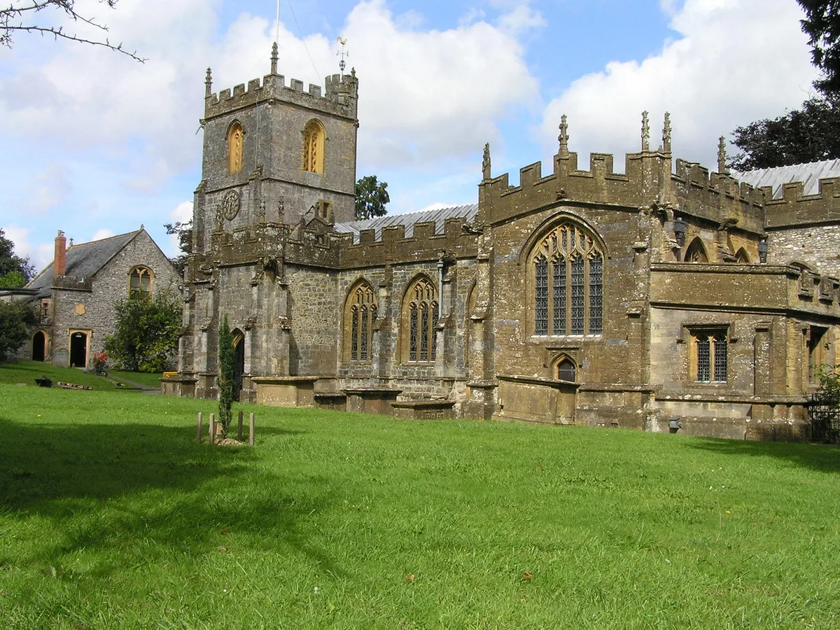
Wambrook — village and civil parish in Somerset, United Kingdom.

Wikimedia Commons contributors — see linked file page for photographer and licence licence
Plan your visit
- Typical visit
- 3 h–6 h
- Nearest railway station
- Axminster · 9.3 km
- Free entry
- Family-friendly
- Dog-friendly
About
Wambrook is a town, city, village or settlement in the United Kingdom. Recent population estimates put it at around 184 people. Wikidata describes it as: "village and civil parish in Somerset, United Kingdom". Coordinates: 50.8626°, -3.0031°.
Photo gallery
Protected designations
- Area of Outstanding Natural Beauty: Blackdown Hills
Designations sourced from Natural England open data under OGL v3.
From the Wikipedia article
Wambrook is a village and civil parish in the Blackdown Hills, Somerset, England. The village lies about 2 miles (3 km) southwest of the town of Chard. The parish includes the hamlets of Higher Wambrook and Lower Wambrook which is sometimes known as Haselcombe. Ferne Animal Sanctuary is in the west of the parish.
Excerpt from Wikipedia under CC BY-SA 4.0. See the source article linked in Sources below.
Background
History
In the west of the parish at Wortheal there are substantial earthworks which may date from the Iron Age. Until 1895 Wambrook was part of the Beaminster Forum and Redhone Hundred in Dorset, only after that becoming part of Somerset.
Sourced from Wikipedia under CC BY-SA 4.0.
- Coordinates
- 50.8626, -3.0031
- District
- Somerset
- Parish
- Wambrook
- Postcode
- TA20 3EL
- Parliamentary constituency
- Yeovil
- Population
- 184
- Nearest railway station
- Axminster — 9.3 km
- Official site
- www.somersetintelligence.org.uk
Sources
- wikidata: Q767517 (CC0)
- wikipedia: Wambrook (CC BY-SA 4.0)
- commons: Wambrook - Wambrook Methodist Chapel - geograph.org.uk - 287988.jpg (CC BY-SA 4.0)
Other places nearby
Loading nearby places…
Nearby
Vineyards · South West England
Bounds Lane
Bounds Lane — a UK vineyard in england south west, producing English or Welsh wine from cool-climate grape varieties.
Caravan parks · South West England
Turnpike Caravan Park
Turnpike Caravan Park — a caravan park in england south west.
 📷 3
📷 3Museums · South West England
Chard Museum
Chard Museum — a museum in england-south-west, United Kingdom.
 📷 3
📷 3Memorials & monuments · South West England
John Stringfellow Monument
John Stringfellow Monument — a memorial in england-south-west, United Kingdom.
 📷 3
📷 3Memorials & monuments · South West England
Chard War Memorial
Chard War Memorial — Grade II listed building-listed memorial in england-south-west, United Kingdom.
 📷 5
📷 5Historic churches · South West England
Church of St Mary the Virgin, Chard
Church of St Mary the Virgin, Chard — church in Chard, Somerset, England, UK.
More towns in this region
 Flagship📷 10
Towns & cities · South West England
All Saints
All Saints — village and civil parish in Devon, England, UK.
 Flagship📷 10
Towns & cities · South West England
Axmouth
Axmouth — village and civil parish in Devon, England, UK.
 ★ Iconic📷 10
Towns & cities · South West England
Beer
Beer — village and civil parish in Devon, UK.
 Flagship📷 10
Towns & cities · South West England
Branscombe
Branscombe — village and civil parish in Devon, UK.
Frequently asked questions
- Where is Wambrook?
- Wambrook is in South-West England, United Kingdom (postcode TA20 3EL), in the parish of Wambrook.
- Is Wambrook a protected site?
- Yes — Wambrook is part of the Blackdown Hills National Landscape (AONB).
- Is Wambrook free to visit?
- Yes, Wambrook is free to enter.
- How do I get to Wambrook?
- Drivers can navigate to postcode TA20 3EL. It sits within the Yeovil parliamentary constituency.