Mountains & hills · North West England
Troutbeck Tongue
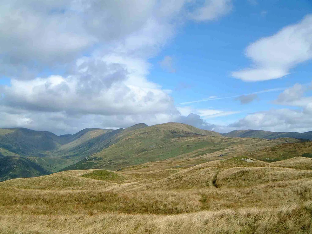
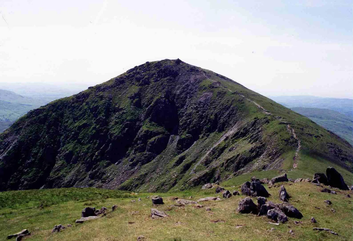
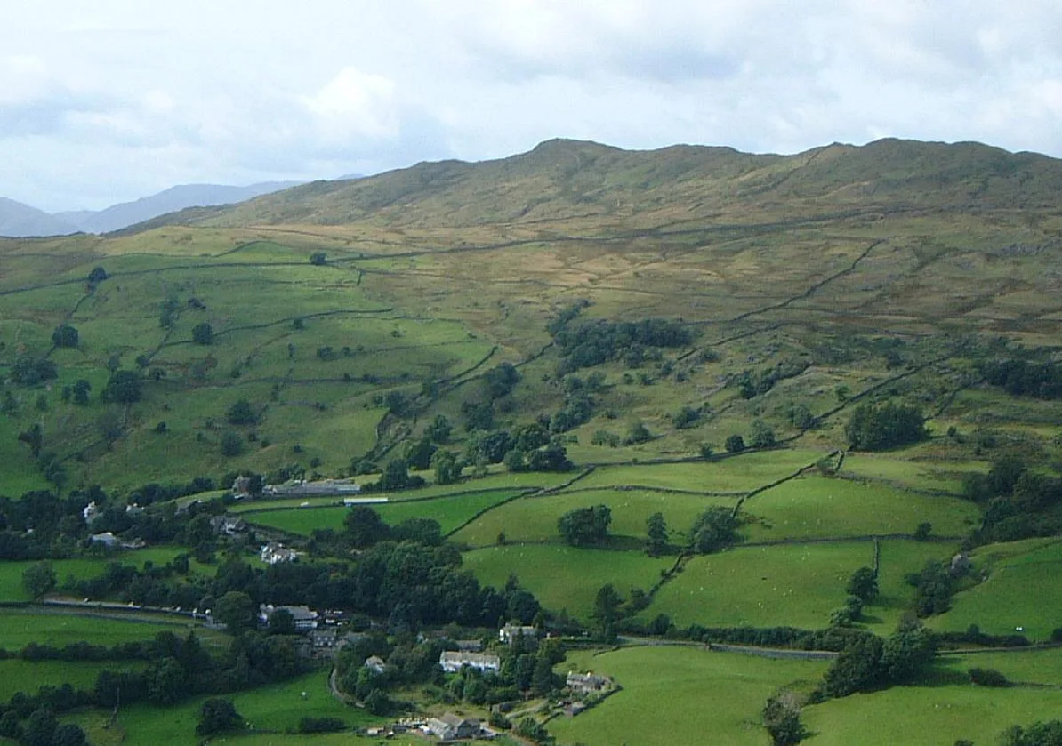
Troutbeck Tongue — Named summit at 364 m.

Wikimedia Commons contributors — see linked file page for photographer and licence licence
Plan your visit
- Typical visit
- 3 h–8 h
- Best time of year
- Late spring – early autumn (May–Oct)
- Nearest railway station
- Windermere · 7.9 km
- Free entry
- Dog-friendly
About
Troutbeck Tongue is a named summit in the United Kingdom. Wikidata describes it as: "Named summit at 364 m.". Coordinates: 54.4500°, -2.8923°.
Photo gallery
Protected designations
- Site of Special Scientific Interest: River Kent and Tributaries SSSI
- Site of Special Scientific Interest: Troutbeck SSSI
- Site of Special Scientific Interest: River Eden and Tributaries SSSI
Designations sourced from Natural England open data under OGL v3.
From the Wikipedia article
Troutbeck Tongue is a small fell in the English Lake District, three miles (five kilometres) ENE of Ambleside. It is one of 214 hills listed in Alfred Wainwright's Pictorial Guides to the Lakeland Fells, making it a popular attraction for walkers aiming to complete the "Wainwrights". Its moderate height and proximity to a main road mean it is a pleasant half-day excursion that can be done when the higher fells are in cloud.
Excerpt from Wikipedia under CC BY-SA 4.0. See the source article linked in Sources below.
- Coordinates
- 54.4500, -2.8923
- District
- Westmorland and Furness
- Parish
- Lakes
- Postcode
- LA23 1PS
- Parliamentary constituency
- Westmorland and Lonsdale
- Nearest railway station
- Windermere — 7.9 km
Sources
- osm: n560045965 (ODbL)
- wikipedia: Troutbeck Tongue (CC BY-SA 4.0)
- commons: Troutbeck Tongue from Troutbeck.jpg (CC BY-SA 4.0)
Other places nearby
Loading nearby places…
Nearby
 📷 3
📷 3Stone circles · North West England
Low Kingate stone circle
Low Kingate stone circle — a stone circle in england-north-west, United Kingdom.
 📷 3
📷 3Mountains & hills · North West England
Yoke
Yoke — Named summit at 707 m.
 📷 3
📷 3Mountains & hills · North West England
Ill Bell
Ill Bell — Named summit at 757 m.
 📷 5
📷 5Mountains & hills · North West England
Wansfell (Baystones)
Wansfell (Baystones) — Named summit at 486.9 m.
 📷 3
📷 3Natural landmarks · North West England
Froswick
Froswick — mountain in United Kingdom.
 📷 3
📷 3Mountains & hills · North West England
Froswick
Froswick — Named summit at 720 m.
More mountains in this region
 📷 3
📷 3Mountains & hills · North West England
Allen Crags
Allen Crags — Named summit at 785 m.
 📷 3
📷 3Mountains & hills · North West England
Alum Pot
Alum Pot — Open shaft pothole in North Yorkshire.
 📷 3
📷 3Mountains & hills · North West England
Arnside Knott
Arnside Knott — Named summit at 159 m.
 📷 3
📷 3Mountains & hills · North West England
Aye Gill Pike
Aye Gill Pike — Named summit at 556.3 m.
Frequently asked questions
- Where is Troutbeck Tongue?
- Troutbeck Tongue is in North-West England, United Kingdom (postcode LA23 1PS), in the parish of Lakes.
- Is Troutbeck Tongue a protected site?
- Yes — Troutbeck Tongue is part of the River Kent and Tributaries SSSI Site of Special Scientific Interest and the Troutbeck SSSI Site of Special Scientific Interest.
- Is Troutbeck Tongue free to visit?
- Yes, Troutbeck Tongue is free to enter.
- How do I get to Troutbeck Tongue?
- The nearest railway station is Windermere, about 7.9 km away. Drivers can navigate to postcode LA23 1PS.