Beaches · North Wales
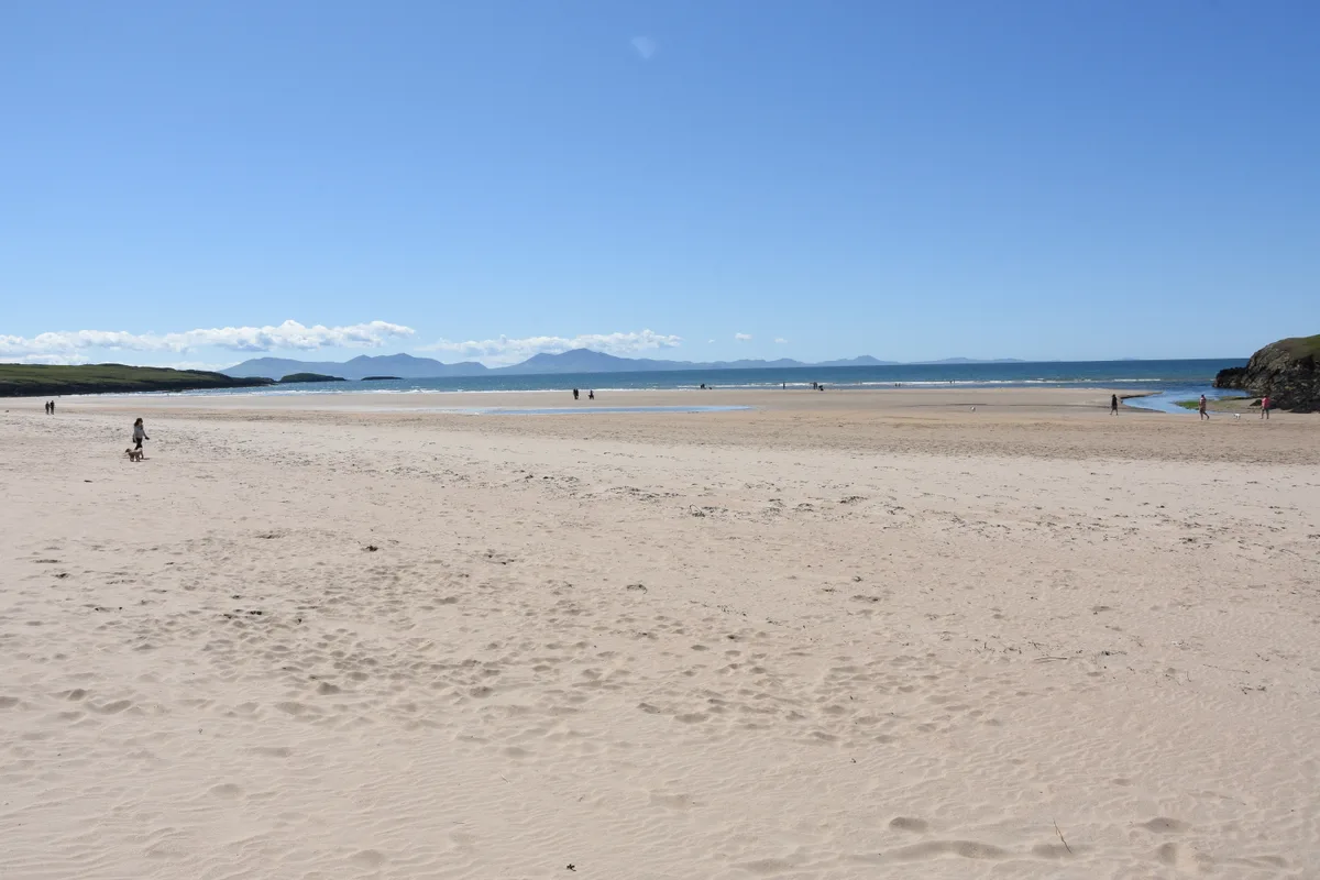
Traeth Mawr
Also known as: Traeth Mawr, Porthmadog
Traeth Mawr is a beach in the United Kingdom.

Eric Jones — CC BY-SA 2.0 via Wikimedia Commons licence
Plan your visit
- Typical visit
- 1 h–3 h
- Best time of year
- Summer (Jun–Aug)
- Free entry
- Family-friendly
- Dog-friendly
About
Traeth Mawr is a named beach on the United Kingdom coastline. Coordinates: 53.4148°, -4.4486°. This entry is part of The Great Britain Guide, a free, ad-free, open-data tourist directory.
Photo gallery
From the Wikipedia article
Traeth Mawr (Welsh for 'large beach') is a polder near Porthmadog in Gwynedd in Wales. The area was formerly the large tidal estuary of the Afon Glaslyn. It was created after large-scale land reclamation occurred in the late 18th and early 19th centuries. A large embankment, called the Cob, separates the area from the sea and carries a road and railway line.
Excerpt from Wikipedia under CC BY-SA 4.0. See the source article linked in Sources below.
- Coordinates
- 53.4148, -4.4486
- District
- Isle of Anglesey
- Parish
- Llanbadrig
- Postcode
- LL67 0ND
- Parliamentary constituency
- Ynys Môn
Sources
- osm: w454480314 (ODbL)
- wikipedia: Traeth Mawr (CC BY-SA 4.0)
Other places nearby
Loading nearby places…
Nearby
 📷 3
📷 3Memorials & monuments · North Wales
Charles Henry Ashley
Charles Henry Ashley — a memorial in wales-north, United Kingdom.
 📷 3
📷 3Beaches · North Wales
Traeth Bach
Traeth Bach is a beach in the United Kingdom.
 📷 3
📷 3Galleries · North Wales
Oriel Cemaes
Oriel Cemaes — a gallery in wales-north, United Kingdom.
 📷 3
📷 3Theatres · North Wales
George Edwards Hall
George Edwards Hall in Wales North, United Kingdom.
📷 5Historic churches · North Wales
Cemaes
Cemaes () is a village on the north coast of Anglesey in Wales, sited on Cemaes Bay, an Area of Outstanding Natural Beauty which is partly owned by the National Trust. It is the most northerly village
 📷 3
📷 3Historic houses · North Wales
Brickworks
Brickworks — a historic house in wales-north, United Kingdom.
More beaches in this region
 📷 3
📷 3Beaches · North Wales
Aberffraw Sands
Aberffraw Sands — sandy beach on west coast of Anglesey, in Wales, UK.
 📷 3
📷 3Beaches · North Wales
Banc Sidan
Banc Sidan is a beach in the United Kingdom.
 📷 3
📷 3Beaches · North Wales
Benllech Sands
Benllech Sands is a beach in the United Kingdom.
 📷 3
📷 3Beaches · North Wales
Bennar Beach
Bennar Beach is a beach in the United Kingdom.
Frequently asked questions
- Where is Traeth Mawr?
- Traeth Mawr is in North Wales, United Kingdom (postcode LL67 0ND), in the parish of Llanbadrig.
- Is Traeth Mawr free to visit?
- Yes, Traeth Mawr is free to enter.
- How do I get to Traeth Mawr?
- Drivers can navigate to postcode LL67 0ND. It sits within the Ynys Môn parliamentary constituency.