Gardens · Scottish Lowlands
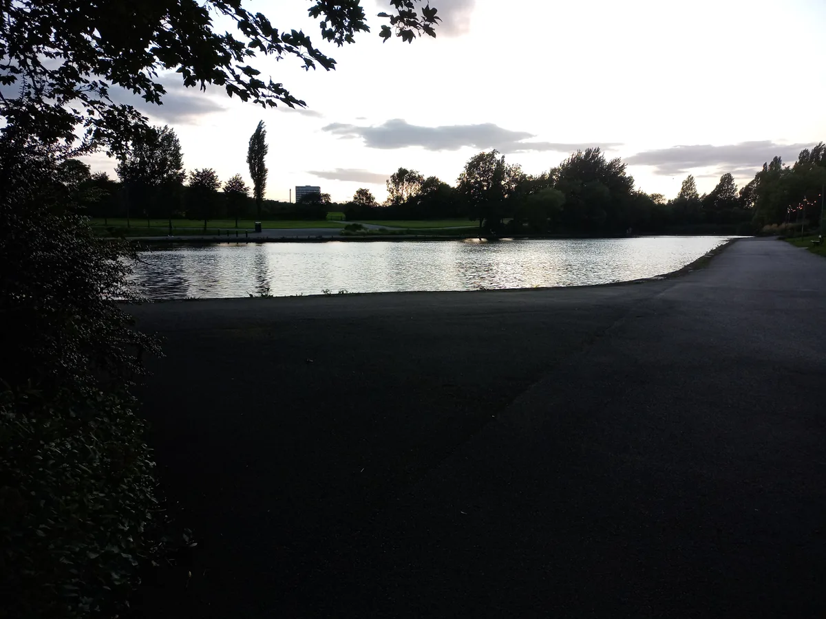
Town Moor
Town Moor — grass pasture in Newcastle upon Tyne, United Kingdom.

Wikimedia Commons contributors — see linked file page for photographer and licence licence
Plan your visit
- Typical visit
- 1 h–2.5 h
- Best time of year
- Spring & summer (Apr–Sep)
- Nearest railway station
- West Jesmond · 0.9 km
- Dog-friendly
About
Town Moor is a public garden in the United Kingdom. Wikidata describes it as: "grass pasture in Newcastle upon Tyne, United Kingdom". Coordinates: 54.9904°, -1.6232°.
Photo gallery
From the Wikipedia article
The Town Moor is an area of common land in Newcastle upon Tyne in northern England. It covers an area of around 1,000 acres (400 ha), making it larger than Hyde Park and Hampstead Heath combined. It is also larger than New York City's Central Park (843 acres). The Town Moor reaches Spital Tongues and the city centre to the south, Gosforth to the north and Jesmond to the east (where it meets Exhibition Park). Freemen of the city have the right to graze cattle on the Town Moor. The rental income is distributed through the Town Moor Money Charity. The ornithologist and landscape architect John Hancock, after whom the nearby Hancock Museum is named, produced a planned layout for the Town Moor in 1868, which was only partly realised. In 1873 a political demonstration in favour of full male suffrage took place on the moor which attracted 200,000 people, the largest recorded mass gathering to have taken place there. The Hoppings, one of Europe's largest travelling fun fairs, is held on the Town Moor during the last week in June. The area of common land is actually split up into several sections, of which the Town Moor is the major part. The area is intersected by the A189 road and the section on the other side of the road is known as Nuns Moor, and includes the Newcastle United Golf Club. Also part of Town Moor are Dukes Moor and Little Moor, both at its northern end, Hunters Moor to the west, and Castle Leazes Moor to the south. The moor has recently had a pathway relaid with more street lighting and CCTV. The Town Moor is mentioned in the Maxïmo Park song "The Undercurrents".
Excerpt from Wikipedia under CC BY-SA 4.0. See the source article linked in Sources below.
- Coordinates
- 54.9904, -1.6232
- District
- Newcastle upon Tyne
- Parish
- Newcastle upon Tyne, unparished area
- Postcode
- NE2 4PZ
- Parliamentary constituency
- Newcastle upon Tyne Central and West
- Nearest railway station
- West Jesmond — 0.9 km
- Opening
- 24 hours
Sources
- wikidata: Q11898308 (CC0)
- wikipedia: Town Moor, Newcastle upon Tyne (CC BY-SA 4.0)
- commons: Newcastle Town Moor - geograph.org.uk - 596373.jpg (CC BY-SA 4.0)
Other places nearby
Loading nearby places…
Nearby
 📷 3
📷 3Natural landmarks · Scottish Lowlands
Tyneside Society of Model & Experimental Engineers
Tyneside Society of Model & Experimental Engineers — a other in scotland-lowlands, United Kingdom.
 📷 4
📷 4Other places · North East England
Princess Mary Maternity Hospital
Princess Mary Maternity Hospital in England North East, United Kingdom.
 📷 3
📷 3Breweries · Scottish Lowlands
Wylam Brewery
Wylam Brewery — brewery based in Newcastle upon Tyne, UK.
 📷 4
📷 4Castles · North East England
Spital Tongues
Spital Tongues in England North East, United Kingdom.
 📷 4
📷 4Memorials & monuments · North East England
Fleming Memorial Hospital
Fleming Memorial Hospital in England North East, United Kingdom.
 📷 5
📷 5Country parks · Scottish Lowlands
Exhibition Park
Exhibition Park — park in Newcastle upon Tyne.
More gardens in this region
 📷 3
📷 3Gardens · Scottish Lowlands
Allen Banks & Staward Gorge
Allen Banks & Staward Gorge — Victorian garden and National Trust property in Northumberland, England.
 📷 3
📷 3Gardens · Scottish Lowlands
Burnhope War Memorial
Burnhope War Memorial — war memorial in Burnhope, County Durham, England, UK.
 📷 5
📷 5Gardens · Scottish Lowlands
Dalemain
Dalemain — country house in Cumbria, England, UK.
 📷 3
📷 3Gardens · Scottish Lowlands
Garden Front
Garden Front — Public artwork (sculpture).
Frequently asked questions
- Where is Town Moor?
- Town Moor is in the Scottish Lowlands, United Kingdom (postcode NE2 4PZ), in the parish of Newcastle upon Tyne, unparished area.
- Who owns Town Moor?
- Town Moor is owned by | visitation_num =.
- How do I get to Town Moor?
- The nearest railway station is West Jesmond, about 0.9 km away. Drivers can navigate to postcode NE2 4PZ.