Towns & cities · West Midlands
Toot Baldon
Toot Baldon — village and civil parish in South Oxfordshire, England.

Wikimedia Commons contributors — see linked file page for photographer and licence licence
Plan your visit
- Typical visit
- 3 h–6 h
- Nearest railway station
- Radley · 4.6 km
- Free entry
- Family-friendly
- Dog-friendly
About
Toot Baldon is a town, city, village or settlement in the United Kingdom. It covers approximately 4 km². Recent population estimates put it at around 136 people. Address: OX44. Wikidata describes it as: "village and civil parish in South Oxfordshire, England". Coordinates: 51.7030°, -1.1800°.
Photo gallery
From the Wikipedia article
Toot Baldon is a village and civil parish about 5 miles (8 km) southeast of Oxford in Oxfordshire. At the 2021 census the parish had a population of 140. Toot Baldon shares a grouped parish council with the neighbouring parish of Marsh Baldon.
Excerpt from Wikipedia under CC BY-SA 4.0. See the source article linked in Sources below.
Background
History
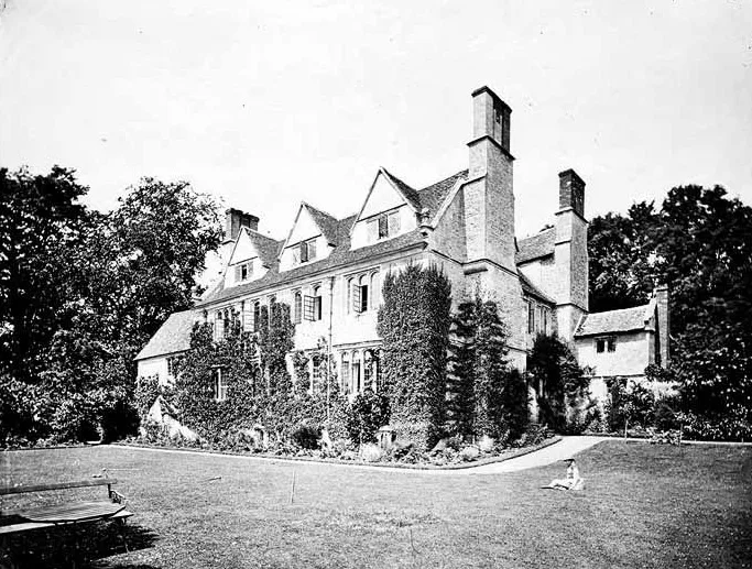
The Church of England parish church of Saint Lawrence was built mostly in the 13th century. It was restored to designs by the Gothic Revival architect Henry Woodyer in 1865. The church is a Grade II* listed building. There is a monument to the 1965 Little Baldon air crash in the north aisle of the church. Court House Farm is partly 16th century. Toot Baldon manor house was built in the 17th century and is Grade II* listed. A parish school was built in the 19th or early 20th century. It has since closed and the building is now a private house.
Sourced from Wikipedia under CC BY-SA 4.0.
- Coordinates
- 51.7030, -1.1800
- County
- Oxfordshire
- District
- South Oxfordshire
- Parish
- Toot Baldon
- Postcode
- OX44
- Parliamentary constituency
- Didcot and Wantage
- Population
- 136
- Nearest railway station
- Radley — 4.6 km
- Official site
- www.baldons.org.uk
Sources
- wikidata: Q780575 (CC0)
- wikipedia: Toot Baldon (CC BY-SA 4.0)
- commons: TootBaldon StLawrence ParishChurch.JPG (CC BY-SA 4.0)
Other places nearby
Loading nearby places…
Nearby
 📷 3
📷 3Stately homes · West Midlands
Garsington Manor
Garsington Manor — country house in Garsington, Oxfordshire, England, UK.
 Flagship📷 4
Towns & cities · West Midlands
Garsington
Garsington — village and civil parish in South Oxfordshire, England.
 📷 5
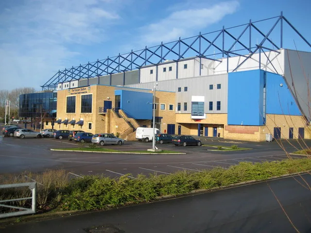
📷 5Stadiums · West Midlands
Kassam Stadium
Kassam Stadium — football stadium in Oxford, United Kingdom.
 📷 3
📷 3Public art & sculpture · West Midlands
Oxford United Ox
Oxford United Ox — a public art in england-west-midlands, United Kingdom.
 📷 3
📷 3Public art & sculpture · West Midlands
The Glow Tree
The Glow Tree — a public art in england-west-midlands, United Kingdom.
 📷 5
📷 5Theatres · South East England
Vue Oxford
Vue Oxford in England South East, United Kingdom.
More towns in this region
 Flagship📷 3
Towns & cities · West Midlands
Adderbury
Adderbury — village and civil parish in Cherwell district, Oxfordshire, England.
 Flagship📷 3
Towns & cities · West Midlands
Admington
Admington — village in Warwickshire, England, UK.
 Flagship📷 3
Towns & cities · West Midlands
Aldington
Aldington — village in Worcestershire, United Kingdom.
 Flagship📷 5
Towns & cities · West Midlands
Anstey
Anstey — large village in Leicestershire, England.
Frequently asked questions
- Where is Toot Baldon?
- Toot Baldon is in Oxfordshire, the West Midlands, United Kingdom (postcode OX44), in the parish of Toot Baldon.
- Is Toot Baldon free to visit?
- Yes, Toot Baldon is free to enter.
- How do I get to Toot Baldon?
- The nearest railway station is Radley, about 4.6 km away. Drivers can navigate to postcode OX44.