Mountains & hills · Mid Wales
Titterstone Clee
Titterstone Clee — Named summit at 533 m.

Wikimedia Commons contributors — see linked file page for photographer and licence licence
Plan your visit
- Typical visit
- 3 h–8 h
- Best time of year
- Late spring – early autumn (May–Oct)
- Nearest railway station
- Ludlow · 8.3 km
- Free entry
- Dog-friendly
About
Titterstone Clee is a named summit in the United Kingdom. Wikidata describes it as: "Named summit at 533 m.". Coordinates: 52.3980°, -2.6019°.
Photo gallery
Protected designations
- Site of Special Scientific Interest: Titterstone Clee SSSI
- Site of Special Scientific Interest: River Teme SSSI
- Area of Outstanding Natural Beauty: Shropshire Hills
Designations sourced from Natural England open data under OGL v3.
From the Wikipedia article
Titterstone Clee Hill, sometimes referred to as Titterstone Clee or simply Clee Hill, is a prominent hill in the county of Shropshire, England. It rises to 533 metres (1,749 ft) above sea level at the summit, making it the third-highest hill in the county after Brown Clee Hill and Stiperstones. The hill forms part of the Clee Hills, which lie within the Shropshire Hills National Landscape (formerly known as 'Area of Outstanding Natural Beauty'). The nearest town is Ludlow, visible from parts of Cleehill village on the slopes of the hill. On clear days, long-distance views are possible towards the Malvern Hills, the Brecon Beacons, the Shropshire Plain and, in the distance, the Welsh mountains. A 20th-century triangulation pillar stands at the summit, close to the remains of ancient cairns and modern radar domes used for air traffic control and weather monitoring.
Excerpt from Wikipedia under CC BY-SA 4.0. See the source article linked in Sources below.
Background
History
Near the summit trig point are the remains of a Bronze Age cairn, dating back about 4,000 years. This suggests the summit was once used as a ceremonial site. Although quarrying has partly damaged it, the Iron Age hill fort on Titterstone Clee, surrounded by large earthworks, has survived better than the fort on Brown Clee. The fort walls are unusual as they are built from stone blocks rather than earth banks. Clee Hill is one of the few hills or mountains marked on the Hereford Mappa Mundi, a 13th-century map of the world kept at Hereford Cathedral. During the medieval period, ironstone was mined, and later coal was worked, often by means of bell pits—small mine shafts, one of which has…
Visiting
The summit area and unenclosed upper slopes of Titterstone Clee, along with Clee Hill to its south, were mapped as 'open country' under the provisions of the Countryside and Rights of Way Act 2000 and are freely available to walkers. There is also a dense network of footpaths and bridleways across both the unenclosed land and the surrounding farmland. Some connect from the A4117 — which runs east–west across Clee Hill Common's southern flanks and reaches a height of 1250 ft above sea level — while a minor public road provides access to the upper parts of the hill and nearby parking areas. Titterstone Clee is popular with walkers and picnickers, though less so than nearby hills such as the…
Sourced from Wikipedia under CC BY-SA 4.0.
- Coordinates
- 52.3980, -2.6019
- District
- Shropshire
- Parish
- Bitterley
- Postcode
- SY8 3NY
- Parliamentary constituency
- South Shropshire
- Nearest railway station
- Ludlow — 8.3 km
Sources
- osm: n356759950 (ODbL)
- wikipedia: Titterstone Clee Hill (CC BY-SA 4.0)
- commons: Titterstone Clee Hill.jpg (CC BY-SA 4.0)
Other places nearby
Loading nearby places…
Nearby
Vineyards · West Midlands
Slight univallate hillfort and two ring cairns on the summit of Titterstone Clee Hill
Slight univallate hillfort and two ring cairns on the summit of Titterstone Clee Hill — a UK vineyard in england west midlands, producing English or Welsh wine from cool-climate grape varieties.
 📷 3
📷 3Memorials & monuments · Mid Wales
Bedlam War Memorial
Bedlam War Memorial — Grade II listed building-listed memorial in wales-mid, United Kingdom.
 📷 3
📷 3Historic churches · Mid Wales
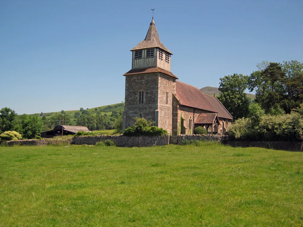
Church of St Mary, Bitterley
Church of St Mary, Bitterley — Grade I listed church in Bitterley, Shropshire, England, UK.
 📷 5
📷 5Viewpoints · West Midlands
Toposcope
Toposcope is a viewpoint in the United Kingdom.
Caravan parks · West Midlands
Bromdon Caravan Park
Bromdon Caravan Park — a caravan park in england west midlands.
 📷 3
📷 3Memorials & monuments · West Midlands
Doddington War Memorial
Doddington War Memorial — Grade II listed building-listed memorial in england-west-midlands, United Kingdom.
More mountains in this region
 📷 3
📷 3Mountains & hills · Mid Wales
Black Hill
Black Hill — Named summit at 640 m.
 📷 3
📷 3Mountains & hills · Mid Wales
Black Mixen
Black Mixen — Named summit at 650 m.
 📷 5
📷 5Mountains & hills · Mid Wales
Cadair Idris
Cadair Idris — Named summit at 893 m.
 📷 3
📷 3Mountains & hills · Mid Wales
Caer Caradoc
Caer Caradoc — Named summit at 459 m.
Frequently asked questions
- Where is Titterstone Clee?
- Titterstone Clee is in Mid Wales, United Kingdom (postcode SY8 3NY), in the parish of Bitterley.
- Is Titterstone Clee a protected site?
- Yes — Titterstone Clee is part of the Titterstone Clee SSSI Site of Special Scientific Interest and the River Teme SSSI Site of Special Scientific Interest.
- Is Titterstone Clee free to visit?
- Yes, Titterstone Clee is free to enter.
- How do I get to Titterstone Clee?
- Drivers can navigate to postcode SY8 3NY. It sits within the South Shropshire parliamentary constituency.