Historic churches · East Midlands
Thurlby, South Kesteven
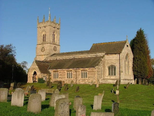
Thurlby is a village and civil parish in the South Kesteven district of Lincolnshire, England. It is situated just west of the A15 road, 2 miles (3 km) south from the town of Bourne, and on the edge o

Alex McGregor — CC BY-SA 2.0 via Wikimedia Commons licence
Plan your visit
- Typical visit
- 30 min–1 h
- Free entry
About
Thurlby is a village and civil parish in the South Kesteven district of Lincolnshire, England. It is situated just west of the A15 road, 2 miles (3 km) south from the town of Bourne, and on the edge of the Lincolnshire Fens. It is sometimes referred to as Thurlby by Bourne to distinguish it from other villages in Lincolnshire with the same name. Thurlby and the hamlet of Northorpe to its north are conjoined. The parish had a population of 2,136 at the 2001 census and 2,153 at the 2011 census.
Photo gallery
From the Wikipedia article
Thurlby is a village and civil parish in the South Kesteven district of Lincolnshire, England. It is situated just west of the A15 road, 2 miles (3 km) south from the town of Bourne, and on the edge of the Lincolnshire Fens. It is sometimes referred to as Thurlby by Bourne to distinguish it from other villages in Lincolnshire with the same name. Thurlby and the hamlet of Northorpe to its north are conjoined. The parish had a population of 2,136 at the 2001 census and 2,153 at the 2011 census.
Excerpt from Wikipedia under CC BY-SA 4.0. See the source article linked in Sources below.
Background
History
diagram showing Thurlby railway station]] The Roman Car Dyke passes through the parish to the east of the road. The A15 road itself broadly follows the route of the Roman Road King street. The church of St Firmin dates back to before the Norman Conquest, reportedly to 925 AD. It has features of Saxo-Norman and Perpendicular style. "Tvrodldbi", "Torulfbi" and "Turoluebi". A Methodist chapel, Trinity Methodist Church, was established in 1912. Thurlby railway station was on the Bourn and Essendine Railway; it opened in 1860 and closed in 1951. The railway workers cottages 3 to 9 Station Road, built in 1866 are nearly the oldest properties in the village, they were famously hit by an air bus in…
Sourced from Wikipedia under CC BY-SA 4.0.
- Coordinates
- 52.7384, -0.3786
- County
- Lincolnshire
- District
- South Kesteven
- Parish
- Thurlby
- Postcode
- PE10 0EB
- Parliamentary constituency
- Rutland and Stamford
Sources
- wikipedia: Thurlby, South Kesteven (CC BY-SA 4.0)
Other places nearby
Loading nearby places…
Nearby
Caravan parks · East Midlands
Cresslands
Cresslands — a caravan park in england east midlands.
 📷 3
📷 3Historic bridges · East Midlands
Bridge Over River Glen
Bridge Over River Glen — Grade II listed building-listed bridge in england-east-midlands, United Kingdom.
 📷 5
📷 5Historic churches · East Midlands
Toft, Lincolnshire
Toft is a small village in the South Kesteven district of Lincolnshire, England. It is situated approximately 2 miles (3 km) south-west from Bourne on the A6121. Toft is part of the civil parish of To
 📷 3
📷 3Memorials & monuments · East Midlands
Ostler Memorial Fountain
Ostler Memorial Fountain — a memorial in england-east-midlands, United Kingdom.
📷 3Historic bridges · East Midlands
Bridge Over East Glen River
Bridge Over East Glen River — Grade II listed building-listed bridge in england-east-midlands, United Kingdom.
 📷 3
📷 3Manor houses · East Midlands
Austerby House
Austerby House — a manor in england-east-midlands, United Kingdom.
More places in this region
 📷 3
📷 3Historic churches · East Midlands
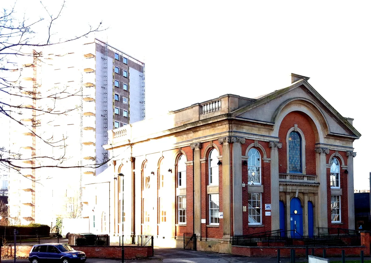
Addison Street Congregational Church
Addison Street Congregational Church — church in United Kingdom.
 📷 3
📷 3Historic churches · East Midlands
Albion Congregational Church
Albion Congregational Church — church building in Nottingham, Nottinghamshire, England, UK.
 📷 3
📷 3Historic churches · East Midlands
All Hallows' Church, Ordsall
All Hallows' Church, Ordsall — Grade I listed church in Bassetlaw, Nottinghamshire, England, UK.
 📷 3
📷 3Historic churches · East Midlands
All Saints Church
All Saints Church — church in Barrowby, Lincolnshire, England, UK.
Frequently asked questions
- Where is Thurlby, South Kesteven?
- Thurlby, South Kesteven is in Lincolnshire, the East Midlands, United Kingdom (postcode PE10 0EB), in the parish of Thurlby.
- Is Thurlby, South Kesteven free to visit?
- Yes, Thurlby, South Kesteven is free to enter.
- How do I get to Thurlby, South Kesteven?
- Drivers can navigate to postcode PE10 0EB. It sits within the Rutland and Stamford parliamentary constituency.